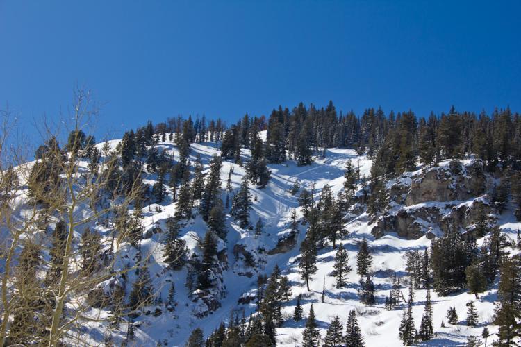
A snowmobiler triggered a hard slab remotely on the southwest side of Sunset Peak, about a quarter mile from Alta Ski Area. No one was caught. They reported it to the Alta Ski Patrol, which we all greatly appreciate. Then, they wisely decided to quite riding for the day.
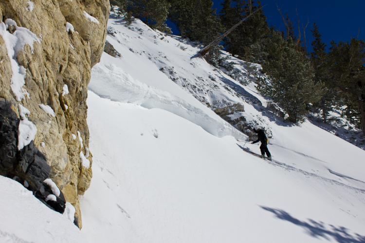
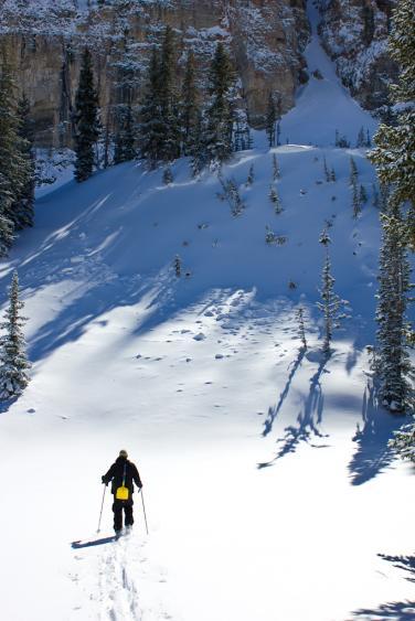
Brett Kobernik and I took a look at it a day after it was triggered. There have been a lot of avalanches triggered and collapsing reported on south facing slopes, so we were curious about the culprit weak layer. In fact, the gentle, bottom part of the avalanche runout below the debris collapsed on us as we approached from the bottom. The culprit was caught red handed--or rather, white weak-layered in this case.
Despite lots of digging, Brett and I were disappointed that we could not find any clear smoking gun, but the weak layer appeared to be a subtle, hard-to-identify-and-see, weak layer above a sun crust. Despite lots of microscope work, we're still not sure what the weak layer was but there was a very thin layer of some very small faceted crystals present on top of the sun crust and I thought I saw some surface hoar at times. Whatever it is, it was disappointedly subtle and left us scratching our heads (the real reason I'm bald). We also dug where we got the collapse and were heartbroken not to identify any clear culprit. Whatever it was, it's doing a lot of collapsing and avalanching so it has to be some kind of monkey business (persistent weak layer such as facets or surface hoar). It's still a mystery, at least to our puny brains--despite about 50 years of professional experience between us.
The bottom line is that the snowpack is extremely complex right now with multiple weak layers and a very complex history. It's hard to trust very much.
We also saw several other slabs of the same vintage on south facing slopes in the area--most appeared to be wind slabs on steep slopes. We also dug in one northeast facing avalanche fracture and still did not see any weak layer that was too obvious--just a thin, small-grained faceted layer probably from February. It preferred to break on this unimpressive layer rather than the large-grained, impressive depth hoar near the ground. I suspect that the rapid loading from Wednesday night reactivated some subtle layers that would normally be sleeping.
I will add photos and perhaps a video and perhaps a snow profile later... But it's late and it may have to wait till morning.
We also looked at a north-facing slab of similar dimensions and it broke on the February facets, but they were very small-grained and not obvious.
Finally, we saw the remotely triggered slide in east-facing Eagle Run triggered by WPG as they traversed on the flats above the slope. We did not get up to take a look at it, but I would guess it was a wind slab on graupel.