

Observer Name
Toby
Observation Date
Monday, February 14, 2011
Avalanche Date
Monday, February 14, 2011
Region
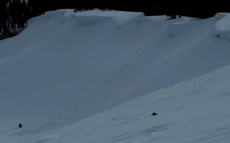
Logan » Logan River » Bunch Grass » Chicken Hill
Location Name or Route
Chicken Hill Cornice
Elevation
8,700'
Aspect
Northeast
Slope Angle
Unknown
Trigger
Natural
Trigger: additional info
Cornice Triggered
Avalanche Type
Hard Slab
Depth
Unknown
Width
40'
Vertical
Unknown
Comments
Small wind slab pocket appears to have naturally released with cornice fall, likely occurred overnight 2/13-2/14.
Comments
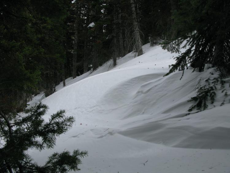
We found evidence of extensive recent drifting in the Tony Grove/White Pine Area... Most drifts and potential wind slabs are pretty welded in place, but we triggered cracking in a few stiff drifts in the trees....
Coordinates