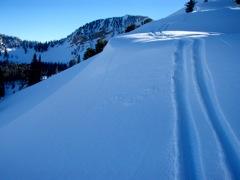
Went down south to look at the remotely triggered slides south and east of the Cascade ridgeline. We dropped down into the Shingle Mill drainage and up to the ridge separating Big Spring and Shingle Mill. Above a steep gully, we dropped a cornice with no result. Two more steps remotely triggered the slide 1-2' deep and 100' across on the Jan 8 surface hoar beneath a thin 1cm thick crust.
We found the crust to be radically variable within the drainage of Shingle Mill - from bullet proof slide-for-life on north to northeast along the higher ridgelines to 3" thick on southeast to just a couple cms thick at our side.
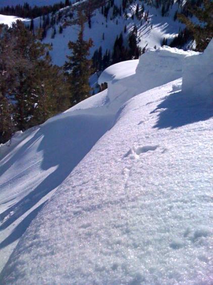
Check out the photo - you can see the surface hoar shimmering on the bed surface. In classic form, it not only pulled back on to the ridge, but where the ridge tilted the opposite direction and downhill a few degrees.
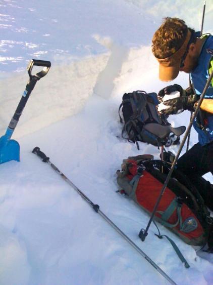
Below, UDOT forecaster and snowmobiler extraordinaire checking out the remotely triggered slide from the day before. This slide also roughly east to northeast facing at 9600' (other pics posted on Provo current conditions) was 1-2' deep and 300' across, running 1000' or so. This too failed on surface hoar. Three in three days....also easterly facing aspects between 9600' and 9900'.
We collapsed and cracked out a couple more slopes along the ridgeline. Consider, though, that many, many other slopes with a similar aspect and elevation were skied the last three days.