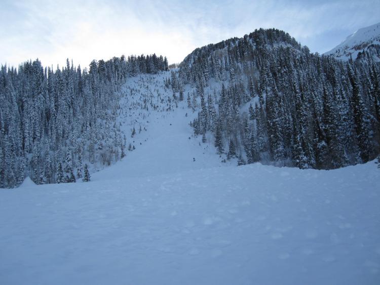
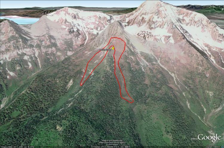
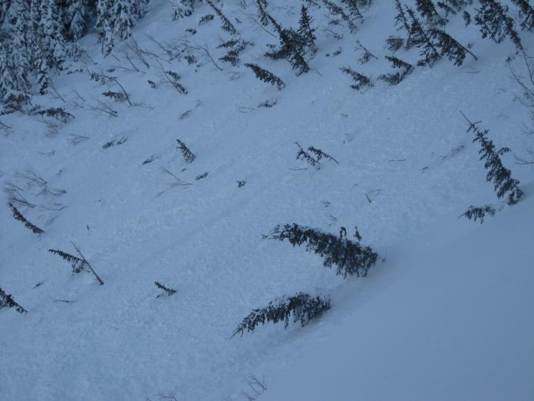
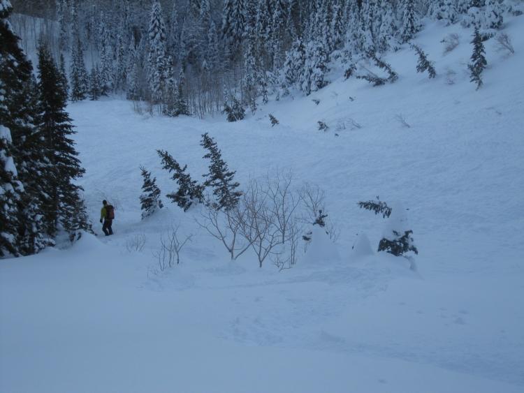
Two slide paths ran naturally possibly during last Wednesday's, Dec 22, storm. The first pic below from Google Earth shows the extent of each slide. The fracture line filled in but from our observation on Christmas day, it appeared that the average fracture size was about 12". The NE-facing slide path (right side) ran approximately 1400'. The E-facing slide path (left side) appeared to have run approximately 1000'. The two slides shared the same fracture line and then divided along a spur ridge. I've been skiing in this area for over 25+ years, and this is the first time to see the debris from such a recent avalanche. The starting zone slope angle is about 40 degrees. The debris pile in the NE slide path was approximately 10+ feet deep. Second pic shows starting zone/fracture line and the spur ridge that did not slide. We dug a test pit on the spur ridge that did not slide and noted an easy shear with the new snow inverted layers at about 10" down. On speculation, these avalanches possibly failed on the buried lighter density snow we had earlier last week on Mon, Tuesday.
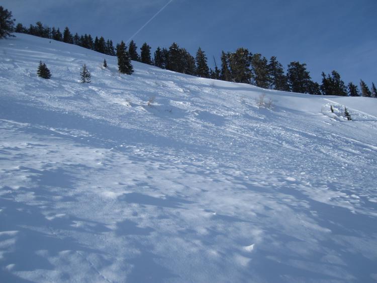
Left flank of NE slide path
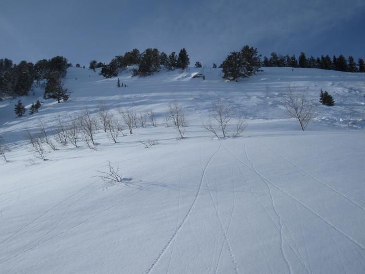
Middle section and the toe of NE slide path.
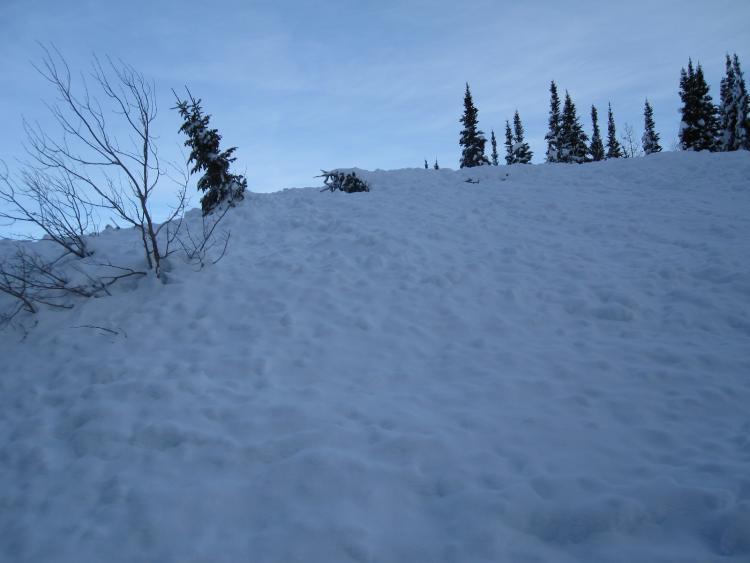
View of the bottom 2/3rds of the NE slide path.