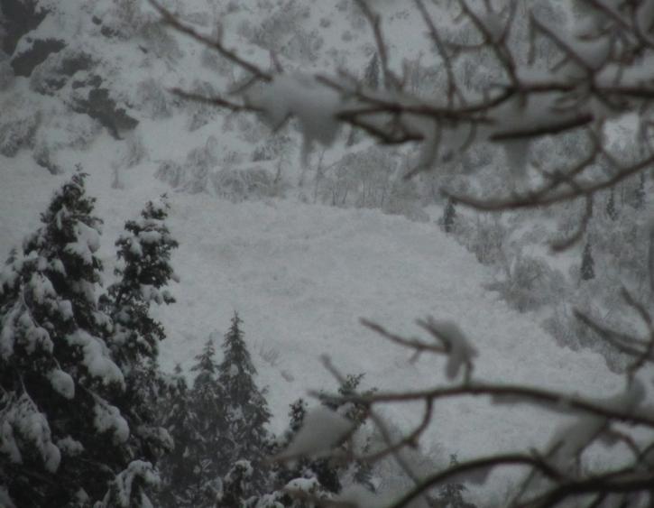
A few more pics of debris from the Provo area to go with Drew's obs. This is a very large pile below Stewarts Falls. It likely came from a path called the Gunsight about 4000' above. No vis into the starting zones and this runout is shared by many paths.
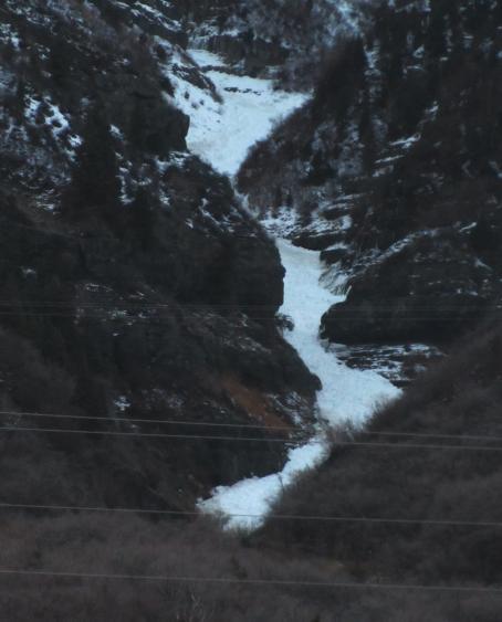
Lost Creek Canyon above US 189 in Provo Canyon ran at least two times today inching its way closer to the road. As there is very little snow at the road elevation now due to the rain, the brush provides much friction to slow these big slides down. In areas where there was snow for them to slide on they traveled much further. Nonetheless, this slide likely started about 4500' above.
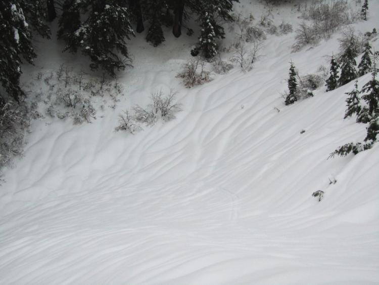
Dry lakes is the runout for numerous big paths in the Fingers area adjacent to Sundance
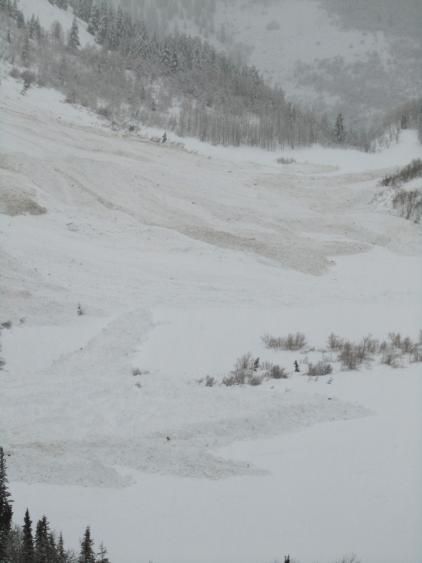
The lower elevations received much of the precip as rain. Drainage channels and runnels formed quickly and the free water is now swelling the streams and waterfalls.