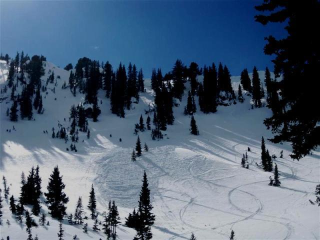
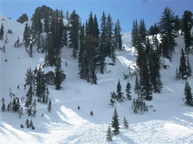
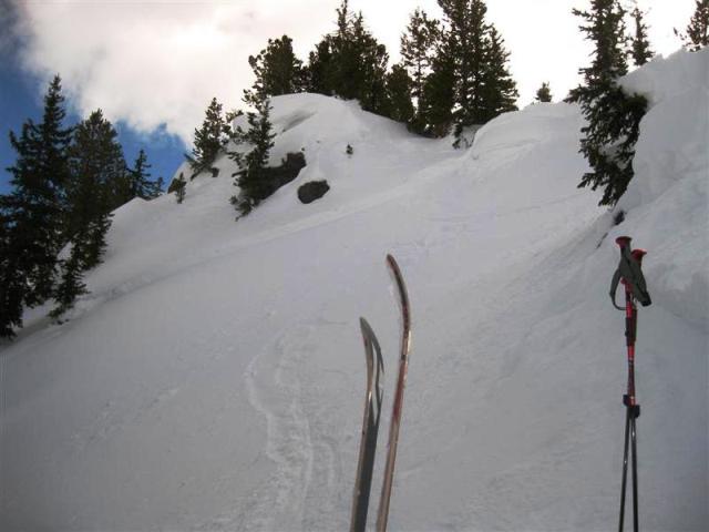
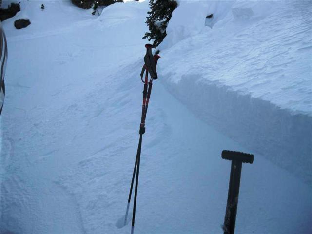
Skiers left of Miller Hill, down canyon from Mineral Basin.
Soft Slab, North East, 9500-10000 feet in elevation, 38 degrees, averaging 12 inches deep with a small section 24 to 30 inches deep. 60 feet wide, breaking out to maybe 100 feet down lower. 500 feet vertical. Buried surface hoar weak layer. Triggered with a cornice drop. three woomphs heard on ridge, though we suspected it was caused more by layers within the cornice then anything else as they occured when nearing the edge. light winds, there was a wind pillow at the deepest part of the crown, though it was 40 feet or so from the location the slide was originally triggered at. no recent new snow, though the surface was good powder, probably around 12 percent. The skiing below the debris was A- snow. The crown face produced a CT-24-Q2 on the bed surface and then CT-30-Q2 about 4cm lower on another surface hoar layer. We had dropped several cornices prior to the trigger, though they were probably all around 100lbs. The trigger piece probably had me by a couple hundred pounds. Don't know whether this would have slid with my weight, but we called it quits anyway figuring no point in pushing our luck. Moderate with pockets of considerable seems like it describes the hazard accurately. Ya gotta love spacial variability.