It wasn't until the end of the day that I was able to get some snow to move. I'd been the guy in the office for the past two days w

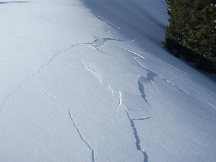
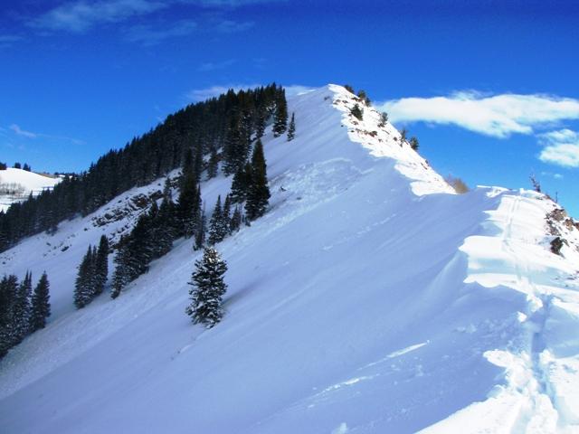
Walked up and onto the ridgeline above Lake Desolation. Hadn't seen any tracks, but most of it had naturalled during the storm. I continued ridgewalking (what else besides this and meadow-skipping?) and then collapsed the slope, with shooting cracks propagating out 50' ahead of me. I looked up just in time to see just the faintest puff of "smoke" rise from the cracks. Beautiful.

I continued west along the ridgeline, now past the Lake Deso basin. Just near the end of the ridgeline, at about 9200', I collapsed the slope again. Nearly 350' away, back to the east, a 3' deep 45' pocket shattered and ran down the slope. Starting zone 9400' on a north facing slope. Never remotely triggered a slide from this type of distance before. Quite the snowpack. Someone described it recently as "more Colorado than Colorado". Indeed. Tap wasn't dry after all.


