

Crown Line Profile, as taken from middle and deepest part of the crown. Layers from top down:
Surface to 20 cm down: Fist in the middle of the slide, and 4 Finger on the left Flank/Trigger point
20 cm to 21 cm: Pencil, crust (wind)
21 cm to 30 cm: Fist (.5mm to 1mm facets); WEAK LAYER, FAILED AT INTERFACE OF FACETS TO CRUST AT 30 cm DOWN.
30 cm to 31 cm: Pencil, crust (wind); BED SURFACE
31 cm to 40 cm: Fist (.5 mm facets)
40 cm to 60 cm: Pencil
60 cm to 70 cm: Fist (2 mm facets); LATE JANUARY FACETS
70 cm to 75 cm: 1 Finger; EARLY JANUARY FACETS
75 cm and down: Knife
The slide broke out 50 feet above the normal high traverse that leads into the back bowls. The total snow height was 240 cm at the middle of the main crown. The slide occurred with collapse failure of the upper crust of the crust/facet/crust sandwich. Facets between these crusts were .5 mm to 1 mm and angular with some exhibiting visible striations.This part of the avalanche propagated 85 feet wide, and ranged from 30 cm to 40 cm deep. The failing upper crust ranged from 1 cm to 3 cm thick. The left flank of this part of the slide appeared to be the main failure point, and the total snow height at this failure point was no more than 70 cm deep. The location and width of this slide was almost identical to the previous slide here on 1/28/13. This slide was much shallower than the previous slide, though after looking at the snowpack structure the buried persistent weak layer from the initial (1/28/13) deep persistent hard slab avalanche is still lingering. OF NOTE: Upon investigation, this lower weak layer actually failed and left a gaping crack at the old buried crown face at 75 cm down from the surface. Also of note was the similar way this "repeater" propagated out towards the Back Bowls at a lower elevation right where the public traverse has been traveling. The lower propagation was another 65 feet wide; and this area continues to have a very thin weak cover. Where these two parts of the slide intersect appears to be where both the January 28th slide and the February 24th slide were triggered and or initiated. There continues to be a large mostly uncovered boulder field directly below the main part of the slide; and there is a much safer traverse below this boulder field that leads into the Back Bowls. As noted by the above snowpack profile there are still two significant buried persistent weak layers remaining on this slope; and it appears that they may still become sensitive and reactive with any new significant loading in the future.
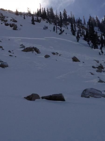
Photo: Gordon