Observer Name
Dave Garcia
Observation Date
Saturday, January 21, 2017
Avalanche Date
Saturday, January 21, 2017
Region
Moab
Location Name or Route
Noriega's Face
Elevation
10,400'
Aspect
North
Slope Angle
40°
Trigger
Skier
Trigger: additional info
Remotely Triggered
Avalanche Type
Soft Slab
Avalanche Problem
New Snow
Weak Layer
Graupel
Depth
19"
Width
2,500'
Vertical
1,000'
Comments
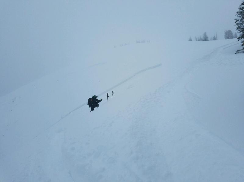
We remotely triggered Noriega's North Face as we were skiing down the more gentle Noriega Ridgeline that faces NW. The slide happened around 12:30 on our first lap. It slid in two different stages. Ed skied first and remotely triggered one pocket as he was skiing the final pitch above the trees. I skied second and skier's right of his track and remotely triggered the second pocket that broke higher and ran further out onto the face. It is hard to tell from the photos below, but the slide broke out a long way onto the face and I'm guessing the two pockets together are more than 300 feet wide. It is hard to tell just how long it ran, from our vantage point it ran below the trees and the staunchwall was not visible. There is a good chance it ran full track. The slope is north facing, I was not able to get a slope angle at the crown, but it broke at about the steepest part of the rollover. I measured 19 inches deep at the part of the crown I was able to get to, it looked deeper a little further out on the slope, maybe 24 inches at most. The slab consisted of the new snow that began falling Thursday afternoon. In the photos below you can clearly see two layers of snow comprising the slab. The bottom layer is the snow that fell Thursday into Friday morning and the top layer is the snow that started late Friday into today. Top layer is Fist density and the bottom layer is Fist Plus or maybe Four Finger Minus. This is a good example of how low density snow can still form a slab. The weak layer was a layer of Graupel between the bottom layer of the slab and the Bed Surface. There was a lot of graupel with the snow that fell Thursday into Friday. The bed surface was a thin crust that was very easy to break through. After our last storm the winds shifted and blew out of the NE, and I believe these winds are responsible for the thin crust that served as the bed surface. In my report yesterday I noted sensitive snow on this face as we walked the ridge line and experienced collapsing with loud whoomphs. We remotely triggered another part of the slope higher up the ridge on our second lap. As you are about to top out on the peak there is an island of trees on the ridge maybe 50 feet down off the peak. We walked out to the trees to look over the roll and remotely triggered another large pocket on the north face.

Comments
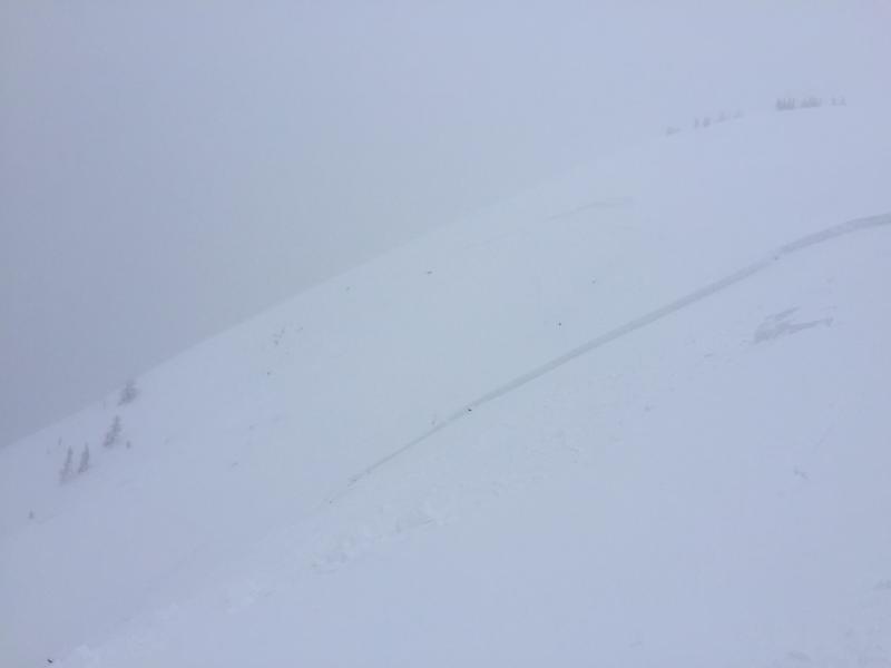
Forecaster note: Further investigation revealed that this avalanche was much larger than previously estimated. The entire north face of Noriega's released either in one or two sections at a total width of more than 2000'. Initial failure appeared to be within storm snow but quickly stepped down to a buried nsf layer and even to facets at the ground in some places.
Comments
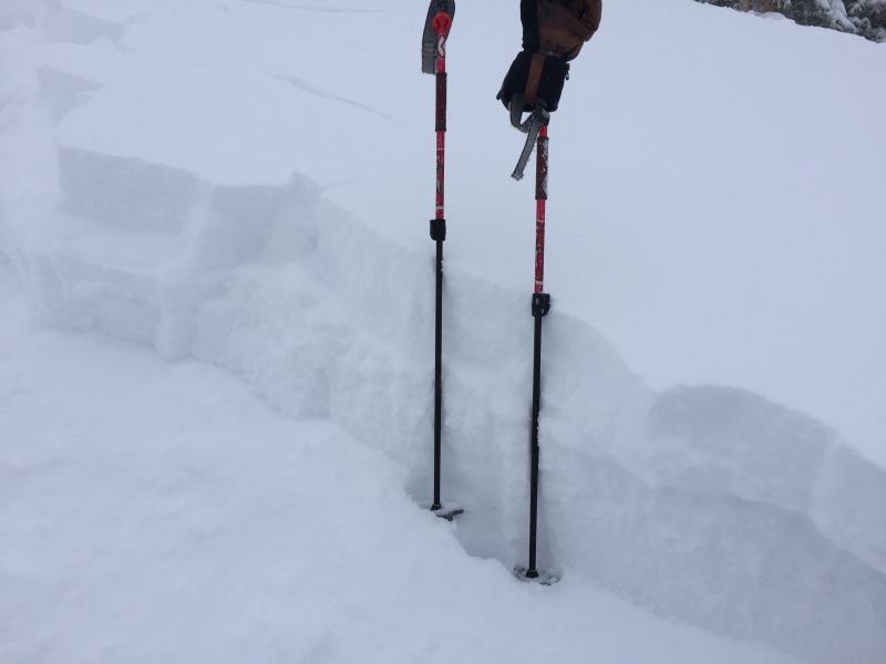
A closeup of the crown face. You can clearly see the two layers of snow comprising the slab. The top is fist density from the snowfall that started late Friday. The bottom layer is slightly denser, maybe four finger minus.
Comments
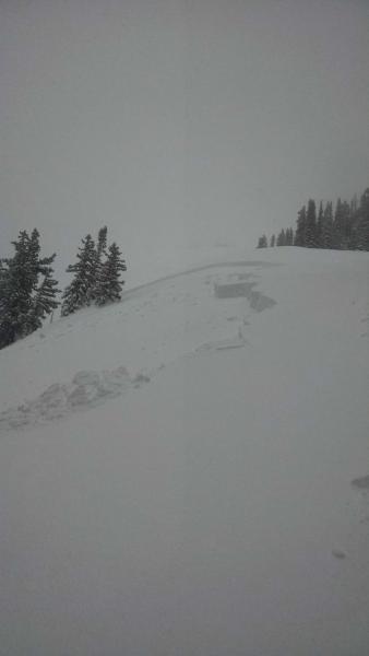
A photo of the lower pocket that Ed triggered remotely. This is down ridge from the photos above. (Ed Grote photo).
Coordinates


