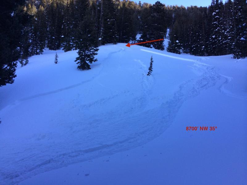
Triggered this soft slab on a mid-elevation slope (8700') that surprised us. Weak layer was a layer of 5-10 mm surface hoar and near surface facets that were preserved underneath last Sunday's (Jan 11) small storm. When I was out on Saturday Jan 10 in Hogum Fork I later made a comment to Drew that I could no longer find any weak snow at the surface. There had been SH and NSF that formed the week of Jan 4, but these weaknesses all seemed to be destroyed by warm temps and wind. Clearly, in some sheltered, shady mid-elevation slopes this weak layer was preserved and was buried by the 5 cms of snow on Sunday Jan 11, and then buried more deeply by the Monday Jan 12 storm. The Monday storm had settled out to a 4F slab that was not responsive to stability tests by Thursday of this week.
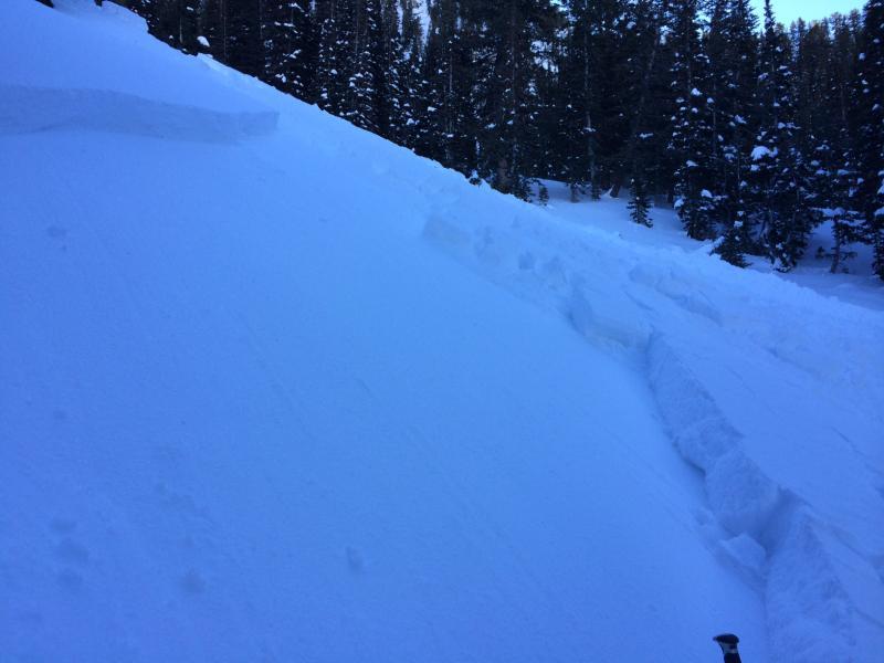
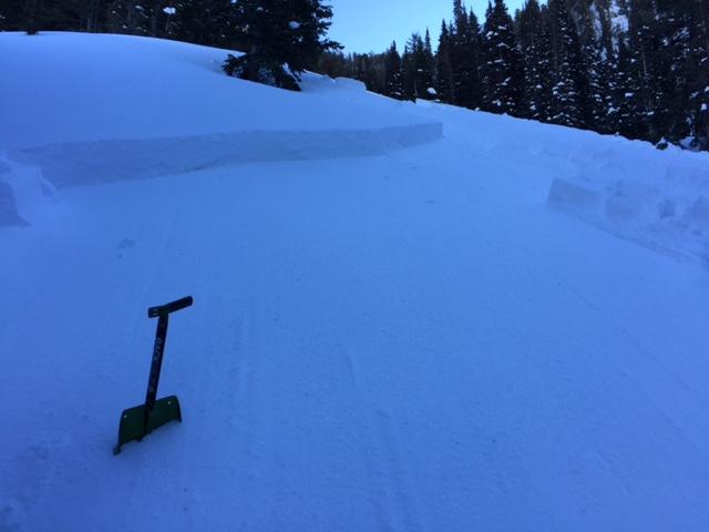
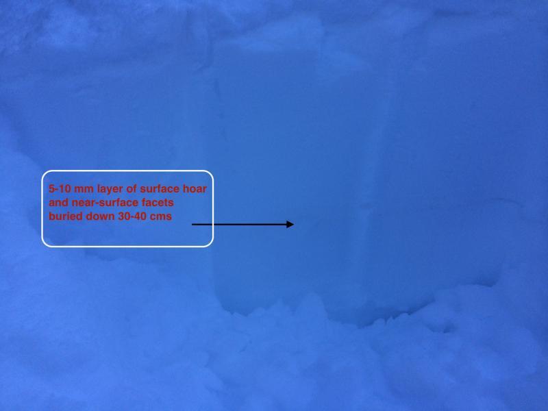
Doing a quick crown profile, the weak layer is buried 30-40 cms (12-16") down and it is a thin 5 mm layer that is not readily apparent in quick pit profiles. Did not do an ECT (should have) but shear tests were easy STE with Q1 quality.
Quick hand pits on a few other slopes were not showing this layer of preserved SH and NSF.
I do think this is an outlier, but my guard is now up in this type of terrain. Good reminder how touchy a weak layer like SH and NSF can stick around.
SS-ASu-D1/R3-I
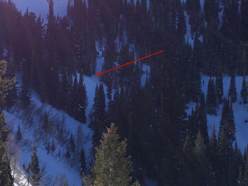
This photo shows the location of the slide. It is in a sheltered spot where temps likely stayed cool during the week of Jan 4 allowing surface hoar and near surface facet development, as well as allowing its preservation underneath the small storm on Jan 11.