Four male Utah sledders departed from the Beaver Creek Trailhead in Logan Canyon for a day of riding in the mountains above Bear Lake near the Utah-Idaho state line. The first rider descended into the steep east facing slope and triggered the large hard slab avalanche just as the second rider was starting down. The second rider (who did not have a beacon) was able to stop his sled just above the crown, and watched as his partner was caught and carried a couple hundred meters over rough and rocky ground and fully buried.
The third and fourth riders were behind and did not witness the triggering, but arrived on the scene as the avalanche was still moving. They rapidly descended the rocky avalanche path, one on his sled, the other on foot, and quickly found and honed in on the buried rider's beacon signal near his exposed sled and got a positive probe strike. The two rapidly unburied their partner who was buried under 1 to 2 feet of debris about 20 feet south, across the hill and slightly above the sled. Matthew was initially unresponsive, and not apparently breathing, with blue colored lips. As snow was cleared away from his chest, breathing returned and the rescued rider regained consciousness. As they continued the excavation, the two rescuers quickly realized that he was seriously injured, with multiple broken bones. As is common with most avalanche survivors, and in the midst of a serious and intensifying winter storm, hypothermia quickly became the priority issue.
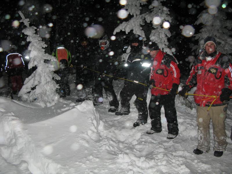
Luckily, the second rider, who had stopped his sled just above the crown, had intermittent cell phone service and was able to call for help. The 911 call was dropped dozens of times. Rescue Helicopters attemped to respond from both the north and south but were turned back due to fowl and worsening weather. County search and rescue ground teams from both sides of the state line responded. When I arrived at the scene, shortly before 7:00 PM, SAR teams from Cache County, Franklin County, and Bear Lake were affecting a difficult and time consuming rescue in the worst possible weather conditions. Due to the remoteness of the avalanche and to avoid further avalanche risk to rescuers, the injured rider had to be rope-hauled by hand up the slope. Around 1400' of rope was employed, with dozens of rescuers hauling from above, as a smaller party provided first aid and helped move the litter. Rescuers moved the litter to a snowcat, which then punched through horrendous conditions. The Cache Country SAR team and the injured rider arrived at the ALS ambulance at the Beaver Creek trailhead at around 10:00 PM
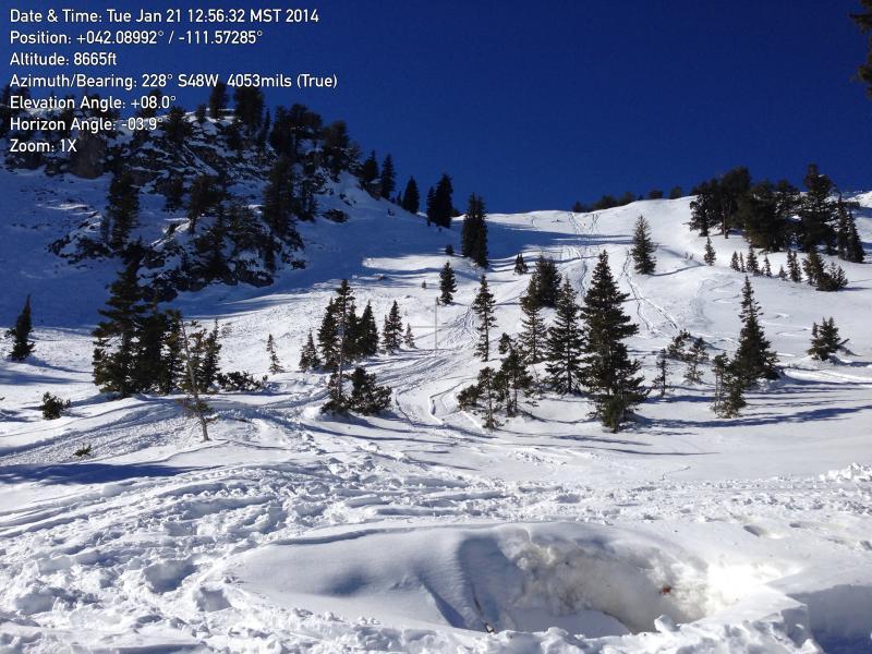
The avalanche occurred on a east facing upper elevation slope near the high crest of the Northern Bear River Range. Strong west winds in the past few days drifted snow into the lee slope deceleration zone. The convex slope rolls over steeply to around 38 degrees near the rocky probable trigger location, but is sustained at a lower 35 degree pitch for much of the slope. The avalanche propagated to the south at least a quarter mile into a steep cirque, pulling out a huge and well connected hard slab.
The picture is a Google Earth screenshot view from the east, with the point near the middle of the crown at the top of the avalanche. I measured the alpha angle, (angle from crown to toe) of this slide at 22.5 degrees.

A dry end to the 2013 year and a series of prolonged high pressure systems over the area left a shallow and exceptionally weak snowpack across the Bear River Range. We observed widespread deep and very loose sugary or faceted snow on most upper elevation slopes in the Logan Forecast Zone, including terrain just a few miles south of the accident site.
In the last few days leading up to Saturday's accident a series of gradually more moist and very windy storms created a cohesive slab on the weak preexisting snow. Here was my current conditions report for the morning of 1-11-2014:
The Tony Grove Snotel at 8400' reports close to two feet of new snow in the last 48 hours, containing 1.9 inches of water. It's a balmy 28 degrees this morning, and there is 49 inches of total snow containing 77% of average water content for the date. I am reading more reasonable west winds this morning at the UDOT Hwy 89 Logan Summit wind sensor, after sustained high winds for several hours yesterday, with 40+ mph average west winds and gusts close to 60 mph. The 9700' Logan Peak weather station reports 23 degrees, and southwest winds in the upper teens. Very dangerous avalanche conditions exist in the backcountry, with drifted and inverted heavy new snow, difficult trailbreaking, and safe riding limited to lower angled meadows and packed trails. The heavy new snow is being drifted onto slopes with widespread very weak preexisting sugary or faceted snow.
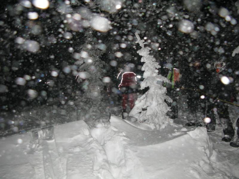
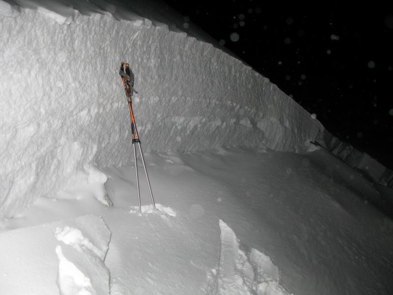
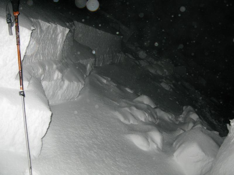
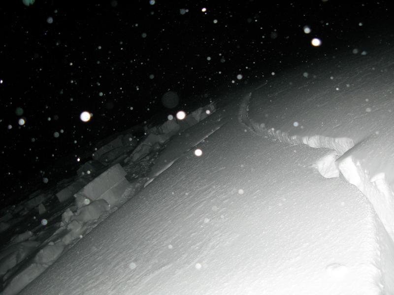
The weather was fairly extreme during the rescue operation as I remember it, with heavy snowfall, graupel, very strong west winds and drifting snow causing full-on whiteout conditions... Photos below somewhat obscured by drifting snow.
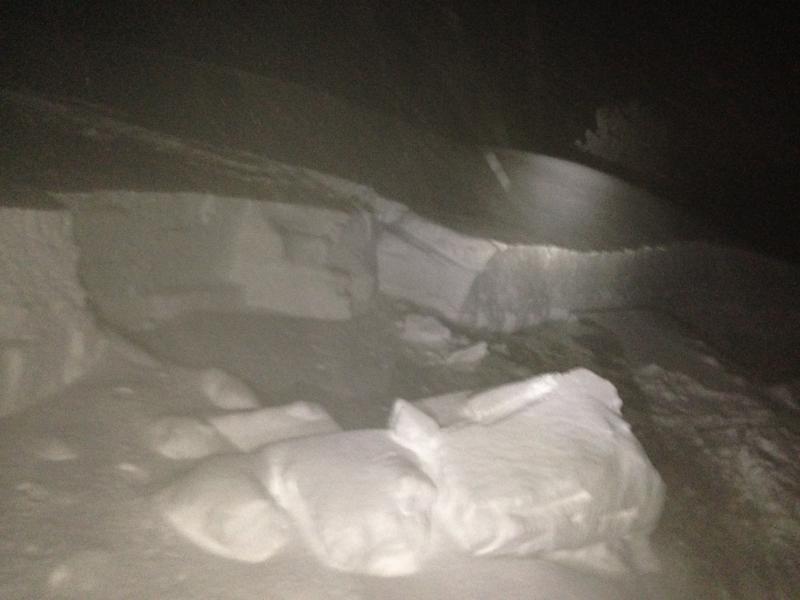
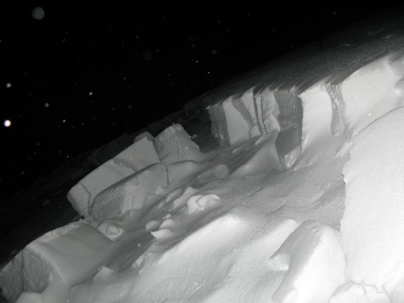
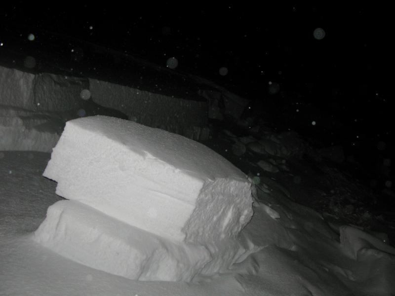
Classic hard slab failing on weak basal facets...

Stories of the accident are now well circulated on various media. Salt Lake TV station KSL's story........ HERE
Here are a few more links to the media coverage....
http://www.ksl.com/?nid=148&sid=28374293#GhqDHEyTuicddccQ.01
http://news.hjnews.com/allaccess/article_51c72092-7afc-11e3-bee5-0019bb2963f4.html
http://news.hjnews.com/allaccess/article_64252bb0-7e4b-11e3-947d-0019bb2963f4.html
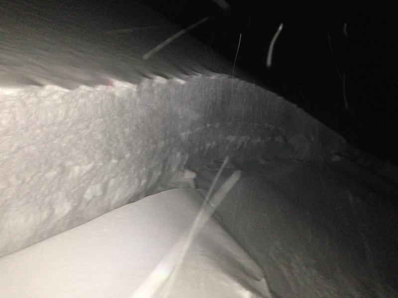
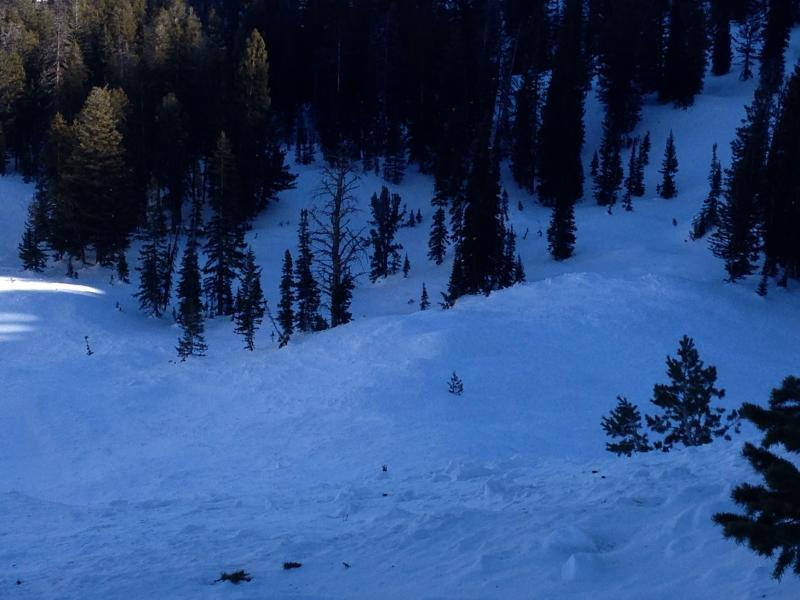
It was a bit dark by the time i was able to examine the crown, and my size and distance estimates were thus probably compromised a bit. But, the depth of the slab where it broke ranged from 3 to around 5 feet, and where I looked at it, a hard slab had failed on 2 mm faceted snow on hard old wind blown snow about 15 cms off the ground. Based on recent nearby observations, a deeper layer of weak faceted snow was likely in the basal layers lower on the slope.
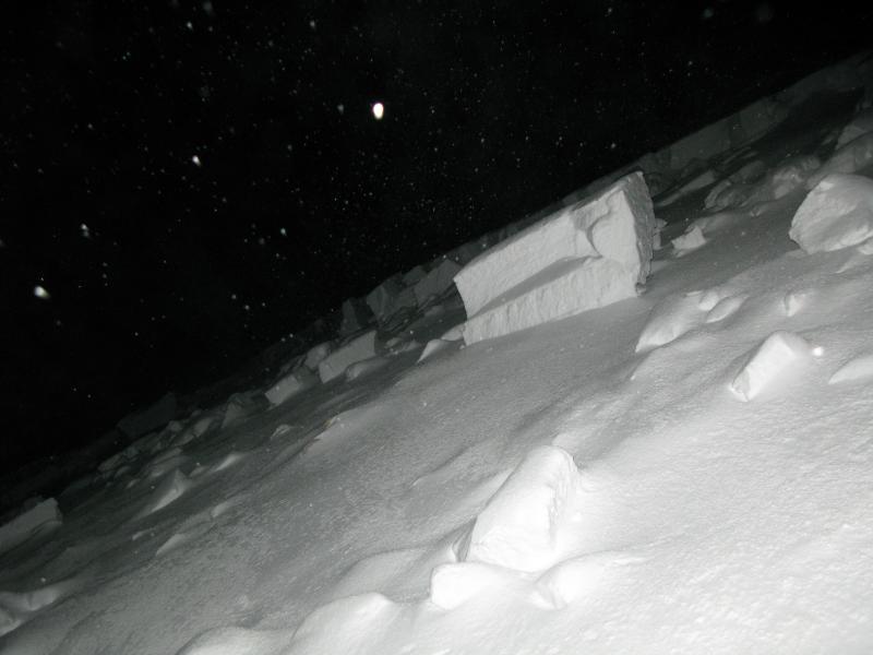
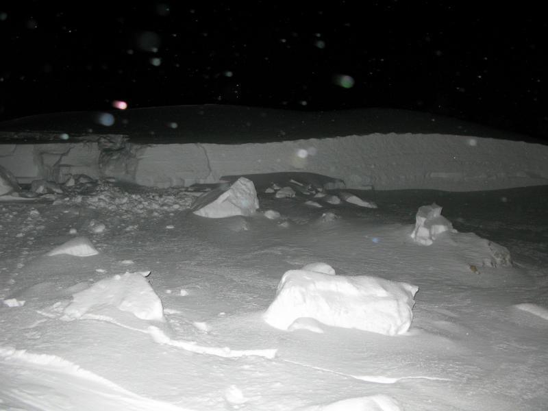
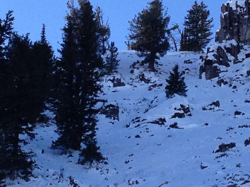
I took these photo's of the accident site more than a week after the event.