This morning, a strong Pacific jet is riding in on strong winds out of the west—anemometers on the highest ridgetops are clocking in at 75mph gusts at 4:00 am. Mountain temperatures hover around freezing under broken skies.
Today, precipitation will increase throughout the morning, peaking in the afternoon. Steady 30-50mph winds at ridgetops will blow throughout the day, gusting into the 100s mph. Snow levels will start above 8,500'—with dense snowfall early in the storm—before dropping to around 6,000' by the afternoon. There's a lot of uncertainty in snow totals, timing, and snow lines from this storm, but:
- Favored areas (Upper Cottonwood Canyons) can expect 2-5" snow (0.3-0.6" H2O) on the low end; 4-7" snow (0.6-1" H2O) on the high
- Less favored areas (Park City, Wasatch Back) can expect closer to only trace snow totals, with mostly rain falling (0.2-0.5" H2O) in much of the terrain until frontal passage.
Looking ahead, this is the start of a pattern shift towards unsettled weather with moist air intrusion from the jet stream. Expect a weaker pulse on Thursday before more water arrives over the weekend...however, snow lines are uncertain in the models. Cross your fingers.

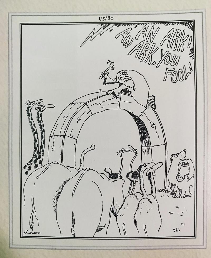
Gary Larson shows us communication isn't always that simple.
Let's talk about avalanche danger, and the boxes we use to communicate it. The fact of the matter is that you shouldn't get too focused on the color of the rose today. This morning, it is unlikely that you can trigger an avalanche‚ meaning the danger is LOW. The faceted snowpack, with a variety of crusts, needs a new slab on top to produce avalanches. We opted to leave danger at MODERATE—since dropping danger with active weather coming felt like it painted the wrong picture to us—and emphasize that this will only be true if the storm produces a new slab on top of our weak existing snow. This storm in particular has a lot of uncertainty. Not seeing the storm produce? The danger hasn't risen. Getting blasted by snow and wind, seeing slabs of new snow develop? It's on the rise. We're forced to pick a color, but there's at least a couple (dozen) ways to communicate the same message.
No backcountry avalanches have been reported in over a week.


