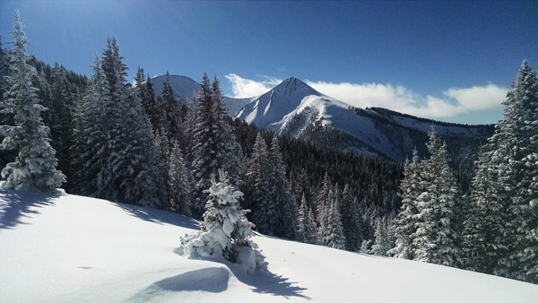
Forecast for the Moab Area Mountains

Issued by Eric Trenbeath for
Saturday, December 3, 2016
Saturday, December 3, 2016
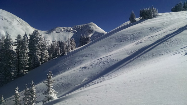
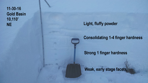
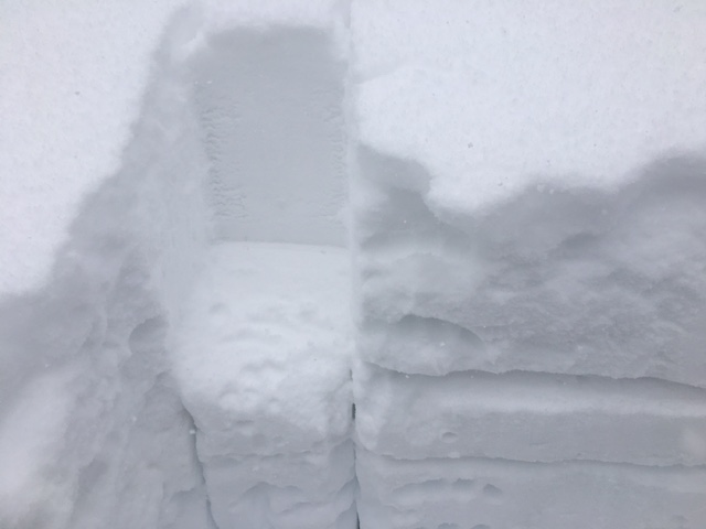
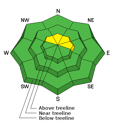
The avalanche danger is MODERATE on steep upper elevation slopes that have areas of wind drifted snow. There is also a MODERATE danger for triggering a deeper, persistent slab in upper elevation, north facing terrain.
Elsewhere the avalanche danger is generally LOW.
Low
Moderate
Considerable
High
Extreme
Learn how to read the forecast here