Forecast for the Provo Area Mountains

Dave Kelly
Issued by Dave Kelly for
Saturday, March 30, 2024
Today, the avalanche danger will start out at MODERATE on all aspects and elevations for new and wind-drifted snow. The avalanche danger could rise to CONSIDERABLE throughout the day with increased snowfall and wind.
The travel advice for today is to use careful snowpack evaluation and cautious route finding. Avalanches travel in packs, so if you see signs of instability, it is time to back off and choose lower angle terrain. On east facing slopes at mid-elevations there is a lingering layer of facets above a melt-freeze crust that may make for more sensitive avalanche conditions on terrain over 35 °.
Low
Moderate
Considerable
High
Extreme
Learn how to read the forecast here
Special Announcements
Support the UAC website backend platform to ensure the ongoing security of the website and the data stored on the site rebuild by donating to our spring campaign.
Weather and Snow
Currently, under overcast skies we have had 1"-2" new snow with .10"-.20" water overnight. Trail-head temperatures are in the low-mid 30's °F. Winds at the 8,000' ridge-lines are blowing from the southwest in the low 20's gusting to the 40's MPH.
Today, skies will be overcast, temperatures should be 37-40°F, with winds blowing from the south-southwest 20 gusting to 30 MPH at the lower ridge-lines and 35 gusting to 45 MPH at the highest ridge-lines. Look for 2"-4" of snow with .30"-.55" of water. The freezing level will hover around 7,000' and we could see mixed precipitation below this elevation with a 10% chance of lightning.
Our partners at the National Weather Service have issued a Winter Weather Advisory from now until 600PM on Saturday March 30th; read the forecast discussion HERE.
Recent Avalanches
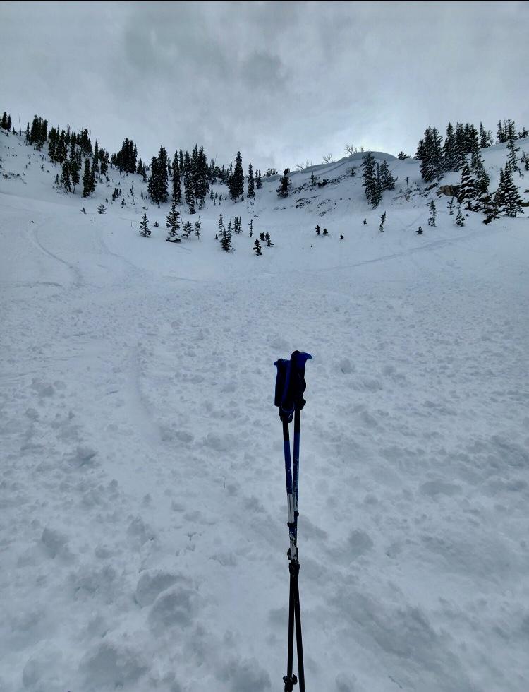
Yesterday, we had no reports from the Provo Area Mountains. Just north of Provo in the Salt Lake Forecast Zone we observed small dry loose avalanches on all aspects and small skier triggered avalanches on east facing slopes running on small grained facets on top of a melt freeze crust and snow safety teams at local resorts reported dry loose avalanches in the morning with wet loose avalanches in the afternoon. There was a report of a cornice triggered avalanche 1'-3' deep in the Dog Lake Chutes area.
With yesterday's warm spring sun, the snow surface took heat on all aspects and elevations and there is a crust under the newest snow on east-south-west facing aspects.

Check out all avalanches and observations HERE.
Video from Aspen Grove of a rider triggered avalanche on an east facing slope at 8,200' from March 28th (video: Brandon).
Ad
Avalanche Problem #1
Wind Drifted Snow
Type
Location
Likelihood
Size
Description
Moderate to strong winds overnight have created sensitive soft slabs of wind-drifted snow at the mid and upper elevations. Avalanches involving wind-drifted snow may be over 2' deep and up to 150' wide.

Sensitive cornices can be found along many exposed ridgelines at the mid and upper elevations. Avoid traveling on or below corniced ridgelines as a cornice collapse could trigger a new or wind-drifted snow avalanche.
Photo (Brighton Snow Safety) of a skier triggered cornice avalanche on a north-east facing slope at 10,000'.
Avalanche Problem #2
New Snow
Type
Location
Likelihood
Size
Description
Triggering an avalanche involving sluffing or soft slabs of new snow is possible on all steep slopes. Yesterday we found weak snow on mid-elevation east facing terrain that was made up of small grained facets 4"-6" below the surface running on a melt-freeze crust. These east facing slopes are the places I would be cautious of especially in terrain over 35 ° in steepness.
Now that we are towards the end of March if any sun comes out at all expect to see rapid heating of the snow surface and new dry loose avalanches quickly turning to wet loose avalanches. Avalanches that start as dry snow in the Provo Area Mountains can turn into wet avalanches very quickly and can overrun the snow line down below into places where people are not expecting to see avalanche debris. If you are traveling under run outs of avalanche paths during periods of increased precipitation you could be impacted by avalanches that run down to lower elevations.
General Announcements
This information does not apply to developed ski areas or highways where avalanche control is normally done. This forecast is from the U.S.D.A. Forest Service, which is solely responsible for its content. This forecast describes general avalanche conditions and local variations always occur.