Forecast for the Logan Area Mountains

Toby Weed
Issued by Toby Weed for
Wednesday, March 6, 2024
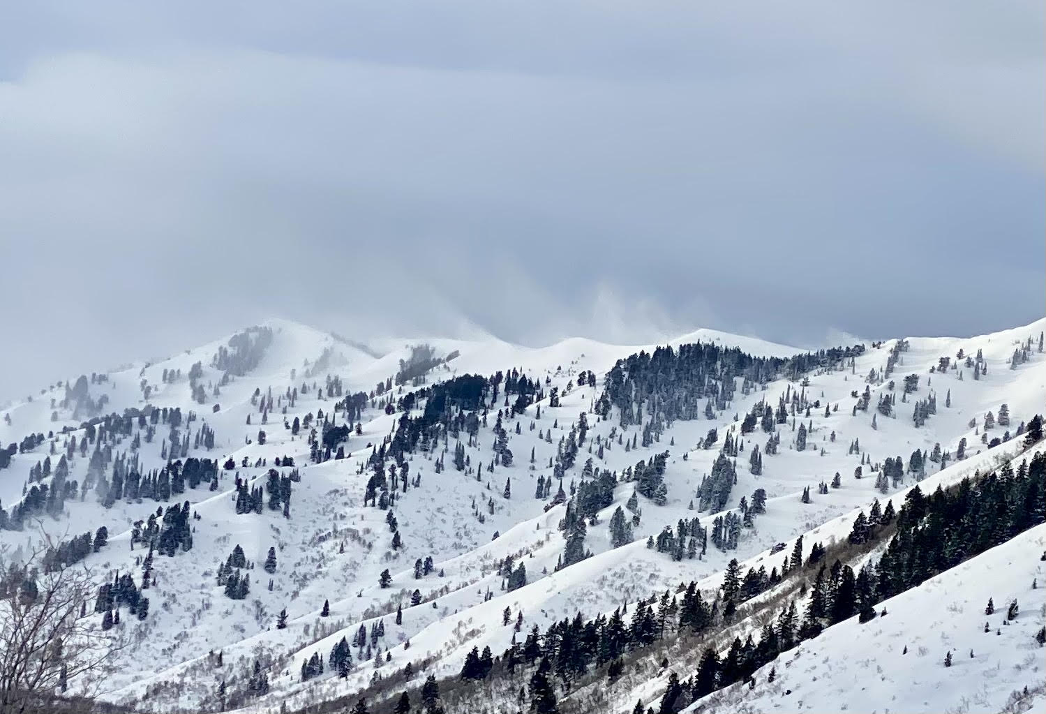
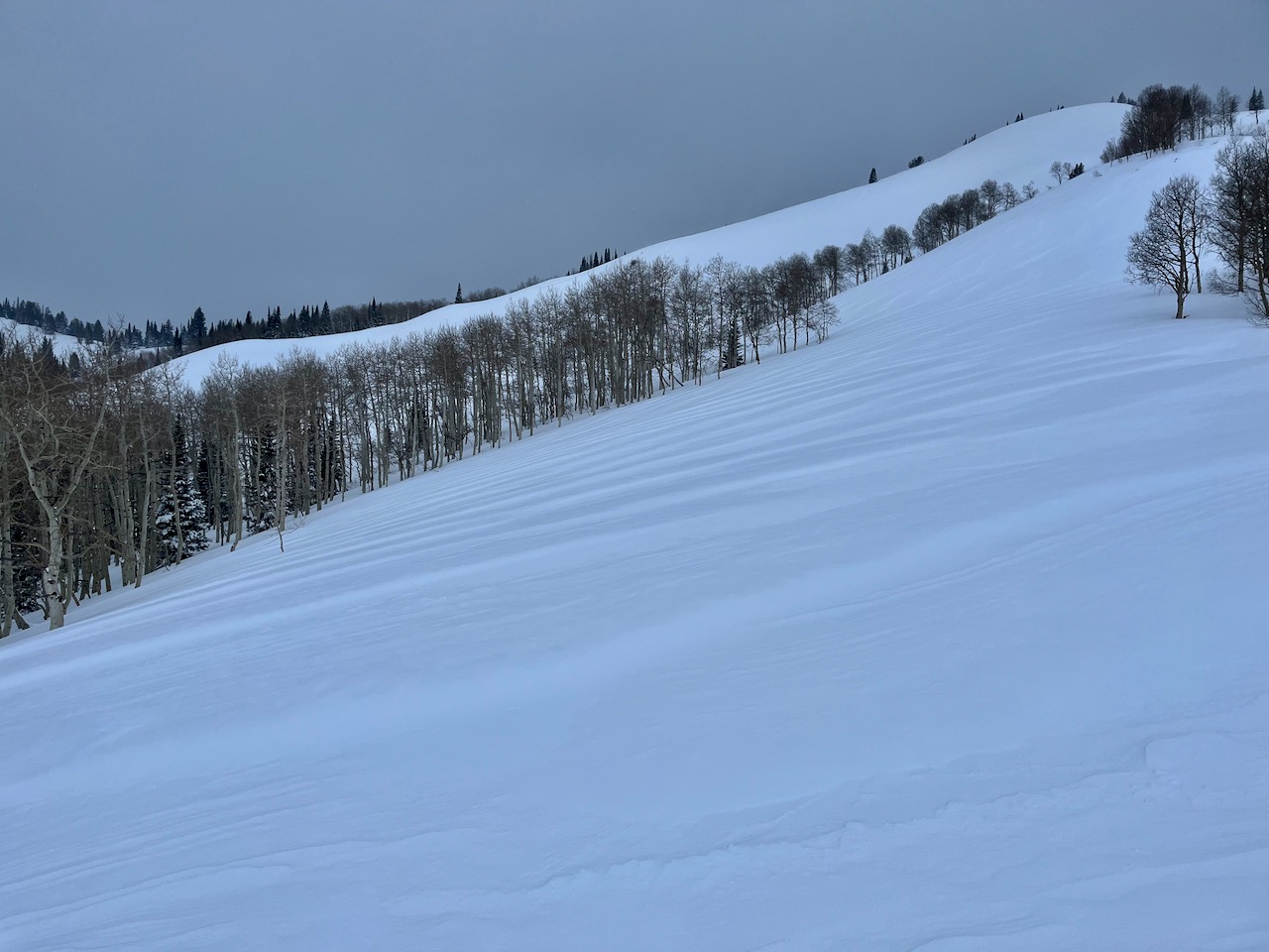
Very heavy snowfall and strong winds overnight created CONSIDERABLE avalanche danger on drifted slopes. Natural avalanches are possible, and people are likely to trigger avalanches of wind-drifted snow and cornice falls, especially in drifted upper and mid-elevation terrain.
  • Periods of heavy snowfall and strong winds blowing from the west will keep today's avalanche danger elevated.
  • Soft slab and loose avalanches of storm snow are possible at all elevations on slopes with significant new snow accumulations steeper than 30°.
  • Last night, rain saturated the snow at lower elevations, and wet avalanches are possible today.

​​​​​Careful snowpack evaluation, cautious route-finding, and conservative decision-making are essential for safe backcountry travel.
Low
Moderate
Considerable
High
Extreme
Learn how to read the forecast here
Special Announcements
We are seeking a passionate individual to join us as Executive Director of the nonprofit Utah Avalanche Center. Click here for more information.
Weather and Snow
Strong winds yesterday wrecked Monday's nice powder on all but the most sheltered slopes. Very heavy snowfall in the last few hours and strong winds veering from the west this morning have upper the anti and created dangerous conditions in drifted terrain. We have another breezy and snowy day on tap today that will keep avalanche danger elevated, especially on upper and mid-elevation slopes loaded by the recent strong winds. In drifted terrain, people could trigger 1 to 3-foot thick avalanches of wind-drifted snow, and falling cornices could trigger wind slab avalanches on steep slopes below. Rain saturated the lower-elevation snow, and loose wet avalanches are possible in steep terrain.

The Tony Grove Snotel at 8400' reports rapid accumulation of 8 inches of new snow in the last few hours, with 1.5" SWE (snow water equivalent) overnight! It's 14° F, and there's 117 inches of total snow. About 6" of new snow accumulated at our new Card Canyon weather station and there is 91" of total snow at around 8800' in elevation. This morning, winds are blowing from the west 20 to 25 mph with gusts to 51 mph at the 9700' CSI Logan Peak weather station. At 9500' on Paris Peak, winds are blowing 15 mph with 40 mph gusts from the southwest, and it's 19° F.

Today will bring similar weather to yesterday's. The National Weather Service has continued a Winter Weather Advisory for the Northern Bear River Range (north of the state line) through this morning. Expect a wintery day in the mountains with high temperatures around 32° F at 8500' and winds blowing from the west to 25 to 30 mph. The NWS forecast calls for a possibility of 7 to 11 inches of accumulation on upper elevation slopes today. Another 1 to 2 inches might accumulate tonight, with mostly cloudy skies and diminishing winds.
Expect gradual clearing tomorrow, with mostly sunny skies by afternoon. 8500' high temperatures are expected to be around 31° F and the winds will blow 5 to 10 mph from the northwest.
A short-lived high-pressure system will bring fair weather and warm daytime temperatures in the mountains through the weekend.
Recent Avalanches
No new significant avalanches were reported recently, but visibility has been limited. Everyone has noticed the strong winds from the south and west, drifting tons of snow every day so far in March.
Check out all local observations and avalanches HERE.
Ad
Avalanche Problem #1
Wind Drifted Snow
Type
Location
Likelihood
Size
Description
With more wind moving more snow today, natural and human-triggered avalanches of wind-drifted snow are possible in steep, drifted terrain. Very strong winds over the last several days loaded snow onto leeward terrain, creating thick wind slabs and building out already large overhanging cornices.
  • Watch for and avoid stiffer wind drifts on the lee side of major ridges, on corniced slopes, and in and around terrain features like cliff bands, sub-ridges, gully walls, and mid-slope rollovers.
  • Stiff wind slabs could be hidden from view by a several inches of fresh snow from overnight. These could be stubborn, allowing a person to get far out on them before releasing.
  • Softer wind slabs forming in the fresh snow today may be quite sensitive.
  • Shooting cracks are a sign of unstable snow.
  • Stay well away from and out from under overhanging cornices, which may break further back and be much larger than expected.
  • Natural or human-triggered cornice falls could be very large, and some could trigger wind slab avalanches on slopes below.
Avalanche Problem #2
New Snow
Type
Location
Likelihood
Size
Description
Small soft slab avalanches and sluffs of new snow are possible at all elevations on slopes steeper than 30° with significant recent accumulations.
  • In steep terrain, watch for terrain traps below that small avalanches could carry you into; like trees, gullies, benches, sinks, or cliff bands.
Avalanche Problem #3
Wet Snow
Type
Location
Likelihood
Size
Description
Additional Information
Wind drifting off the Wellsville Range (Jason Wooden, 3-5-2024)
Sadly, strong southwest winds wrecked Monday's nice powder on most slopes.
General Announcements
-National Forest Winter Recreation Travel Maps show where it's open to ride: UWCNF Logan, Ogden LRD Tony Grove, Franklin Basin CTNF Montpelier
-Listen to your very own Logan Zone avalanche forecasters on the UAC Podcast HERE.
-Read my recent blog about wind, drifting, and avalanches HERE.
-Sign up for forecast region-specific text message alerts. You will receive messages about changing avalanche conditions, watches, and warnings...HERE.
-For all questions on forecasts, education, Know Before You Go, events, online purchases, or fundraising, call 801-365-5522.
-To report an avalanche or submit an observation from the backcountry, go HERE.
-Come practice companion rescue at the Franklin Basin TH Beacon Training Park. It's free and open to everyone. For easy user instructions, go HERE.
-We will update this forecast by 7:30 AM tomorrow.
This forecast is from the U.S.D.A. Forest Service, which is solely responsible for its content. This forecast describes general avalanche conditions, and local variations always occur.