Nowcast- Yesterday morning, we received an additional 2-4" of snowfall bringing totals across the range closer to 10". As of 0500 AM, parting clouds play hide and seek with a full moon, while mountain top temperatures register 10℉ with trailheads closer to 20℉. After three days of strong, westerly winds, things have backed and are quite calm this morning.
Forecast- A break in the snow today and a beautiful day is lined up across the range. Things stay cool today with mountain temperatures between 10-20℉ while winds blow between 15-30 MPH near upper elevations. Windchill could bring temperatures down into the single digits at times, but some sunshine should help to bridge the gap.
Futurecast - Hopefully, we can keep this train rolling with the potential for a warm and wet mid-week system to move into the region and bring significant additional snowfall. Although confidence is low that it will deliver, we will keep you in the loop!
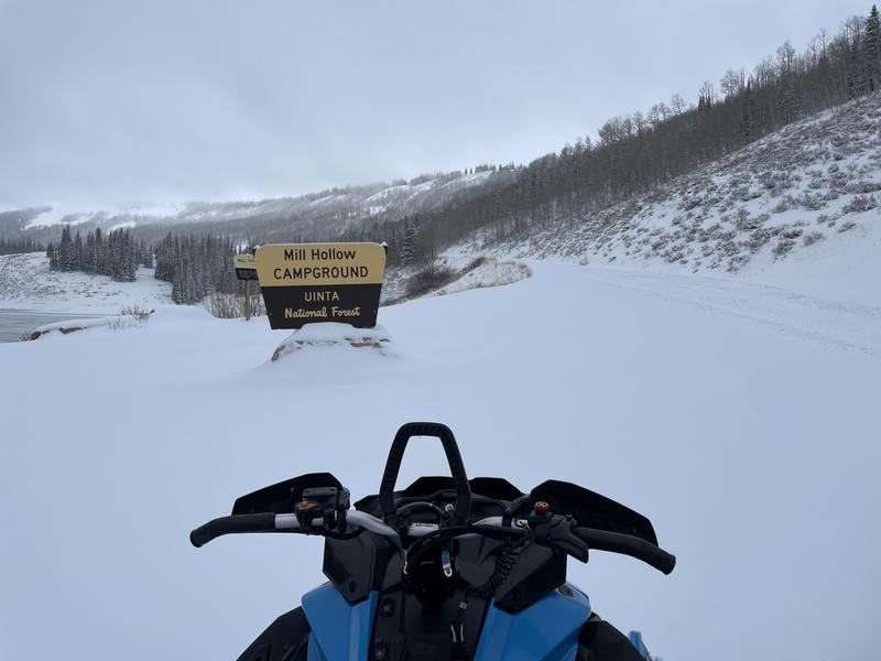
Travel Conditions - The pack is thin across the range between 1-3' with the North Slope on the deeper end, and the South Slope near Strawberry on the leaner end. The best riding conditions exist on low-angle, upper elevation, protected terrain where there is enough snow to avoid rocks and terrestrial features beneath the snow surface. That being said, the greatest avalanche hazard exists where there is enough snow to ride. I am paying extra attention to my slope angles and keeping a wide eye open for red flags and obvious clues to instability, such as recent avalanches, cracking, and collapsing.
Trevor was out with his crew near Duchesne Ridge and noted that the storm snow significantly improved travel conditions for the motor ponies. He also mentioned the skiing was not half-bad either!
No avalanche activity has been reported in the past 24 hours, but there is no shortage of obvious instabilities and red flags out there -- It's sketchy! For now, click below to check out all reported avalanches and travel obs from across the range and beyond!


