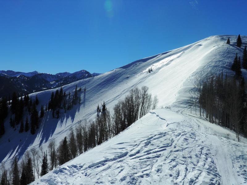
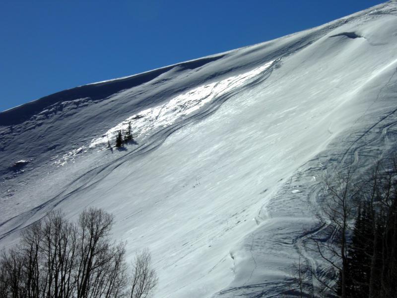
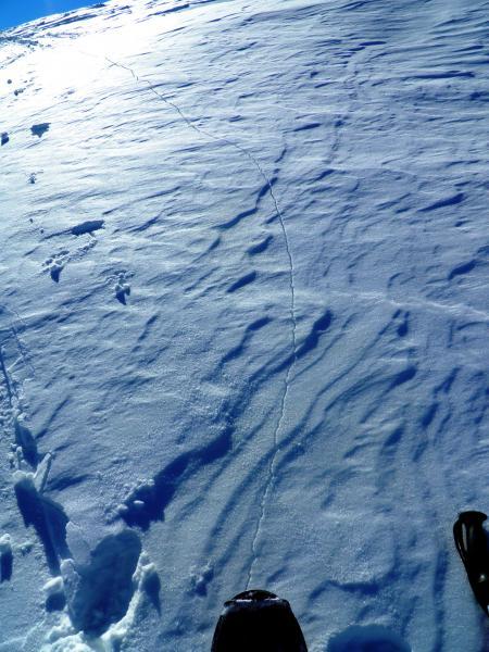
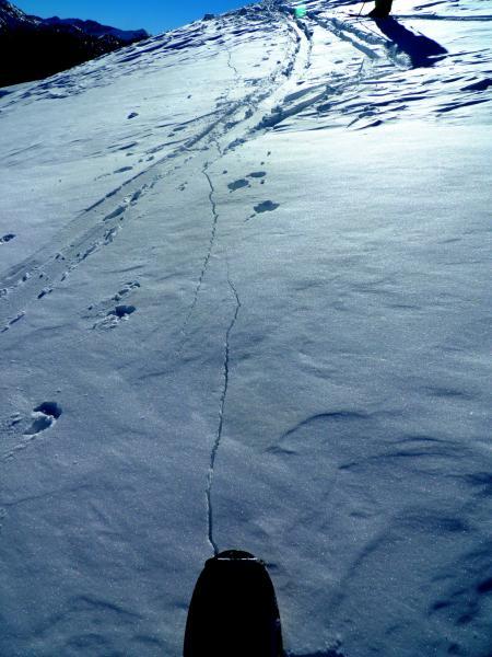
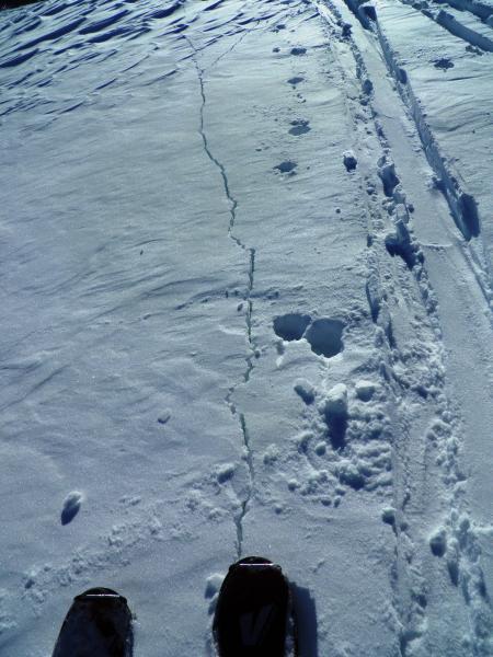
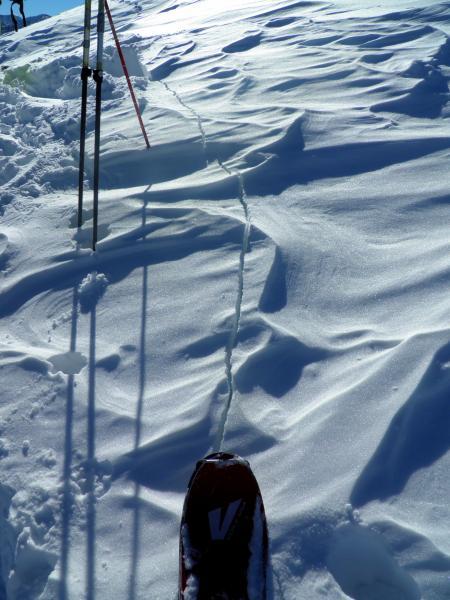
Went back to Reynolds face to see if anybody had skied it, some what suprised to see it still sitting there with no tracks in the main gut. Was not really into skiing it on my last visit a couple days ago but decided to go to the peak and have a look, since the snow pack has had more time and warm temps to adjust to the new load. Hiking up toward the top noticed that the skiers right side had been stripped of new snow down to Friday nights rime crust and knowing that it had avalanched during the storm and there was not a lot of snow on it before the storm, decided to enter where it was scoured of snow. There was a large wind slab deposit right off the peak but the thinking was that it did not extend into the main bowl very far and I could safely enter through the scoured section that only contained 14 inches of loose snow and probe out into the main bowl to safely assess if there was a slab. Could tell that the main bowl was not holding a slab but did collapse the large wind slab in the top, had a feeling it might collapse but did not expect it to be such a large and loud collapse, but knowing it was not connected to a slab on the main slope, felt fine about skiing it. The rest of the bowl contained no slab and only about 2.5 to 3ft of loose snow. Returned back to the peak to look at the 75ft shooting crack that the collapse created on terrain of about 15 degrees in steepness. Pretty impressive and deep crack but was very localized and not representative of the main slope. That all being said would not have attempted probing the slope if there hadn't been a safe entry, and exit in the form of the wind stripped skiers right side, have been on this slope 5 times this winter and have a solid history of what is going on with it. Did not feel as though I was taking a risk Photos.
Wind stripped to the old rime crust skiers right side of Reynolds peak used for safe entry. and slope assessment
Shooting crack on low angle terrain caused by collapsing the wind slab from a safe area. Large crack and deep crack, took a few photos to get the entire length of the crack.
Forecaster Comments: Mark's analysis is from lots and lots of careful observation to the weather and avalanche history of this and other terrain. Very careful analysis. Some areas are wind affected, others are not...some areas have the slab/load to induce instability, others do not. His collapse is in an isolated wind pocket that clearly did not span the entirety of the starting zone or slope. In other words - Did he get away with something? I think not. He put in the work. Otherwise, you're just rolling the dice. Hardesty
Moderate in most areas, Pockety considerable in high elevation, steep NW through E facing wind loaded radical terrain.


