25th Annual Black Diamond Fall Fundraising Party
Thursday, September 13; 6:00-10:00 PM; Black Diamond Parking Lot
25th Annual Black Diamond Fall Fundraising Party
Thursday, September 13; 6:00-10:00 PM; Black Diamond Parking Lot
| Advisory: Uintas Area Mountains | Issued by Craig Gordon for Friday - February 24, 2017 - 3:23am |
|---|

|
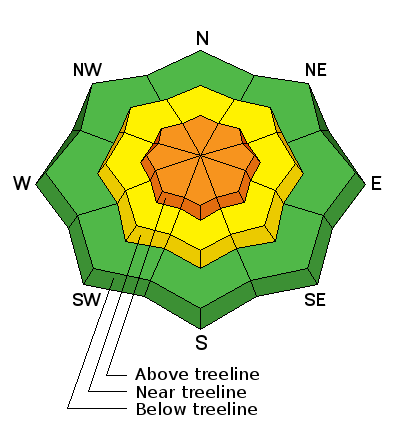
bottom line At and above treeline, especially in the wind zone, you'll find CONSIDERABLE avalanche danger. Both human triggered and natural avalanches are LIKELY on steep wind drifted slopes, especially in terrain with an easterly component to its aspect. Once triggered, today's avalanches will fan out, entraining more snow than you might expect. While less pronounced, a MODERATE avalanche danger is found in mid elevation terrain and human triggered avalanches are possible on steep slopes with recent deposits of wind drifted snow. Wind sheltered slopes in mid and lower elevations offer LOW avalanche danger.
|
 |
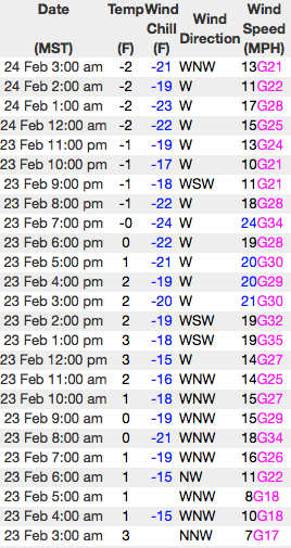
current conditions Yesterday's cold impulse produced an additional foot of ultra-light, chin tickling, Utah uber-fluff and storm totals are nearing 30". Currently, skies are mostly cloudy, light snow is falling, and temperatures are near zero. West and northwest winds are blowing 10-20 mph along the high peaks. On a go anywhere supportable base, riding and turning conditions are about as good as they get... yep, it's over-the-head and over-the-hood.
Real time wind, snow, and temperatures for the Uinta's are found here Snowpack observations and trip reports are found here. |
 |
recent activity
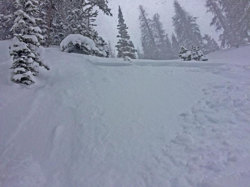
Yesterday's uptick in midday winds produced very tender soft slabs breaking about a foot deep. A full list of Uinta avalanche activity is found here. |
| type | aspect/elevation | characteristics |
|---|

|
|
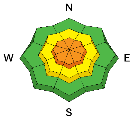
LIKELIHOOD
 LIKELY
UNLIKELY
SIZE
 LARGE
SMALL
TREND
 INCREASING DANGER
SAME
DECREASING DANGER
|
|
description
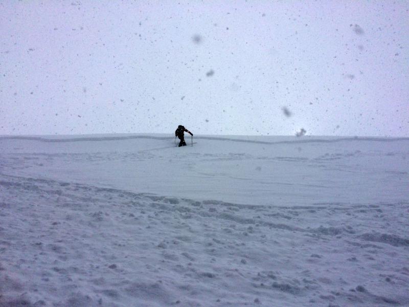
Blower pow... and there's no shortage of it! It's great for riding, makes for killer IG posts, and eclipses any topic of conversation at the local coffee bar. But add a little bump in both snowfall rates and wind speeds and all of a sudden things change quickly. It was that combination yesterday afternoon that produced super sensitive soft slabs across the range. Predictably breaking about a foot deep and failing within the new storm snow, I think alot of these instabilities settled out overnight. However, with winds still busy at work along the ridges, and plenty of light density snow to blow around, there's a whole new batch of fresh drifts that formed overnight and these will break deeper and wider than you might expect. These are the kind of avalanches that a sledder can manage, but once triggered, are gonna be large enough to boss around a skier, boarder, or snowshoer. No matter what we ride, gather some info by stomping on road cuts and test slopes and see how they're reacting before charging into steep, committing terrain.
With a little bit of wind, yesterday's slabs become more connected, and started breaking a bit wider and deeper as the afternoon wore on. |
| type | aspect/elevation | characteristics |
|---|

|
|
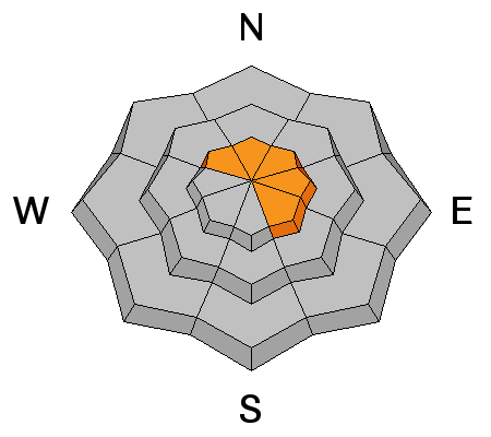
LIKELIHOOD
 LIKELY
UNLIKELY
SIZE
LARGE
SMALL
TREND
 INCREASING DANGER
SAME
DECREASING DANGER
|
|
description
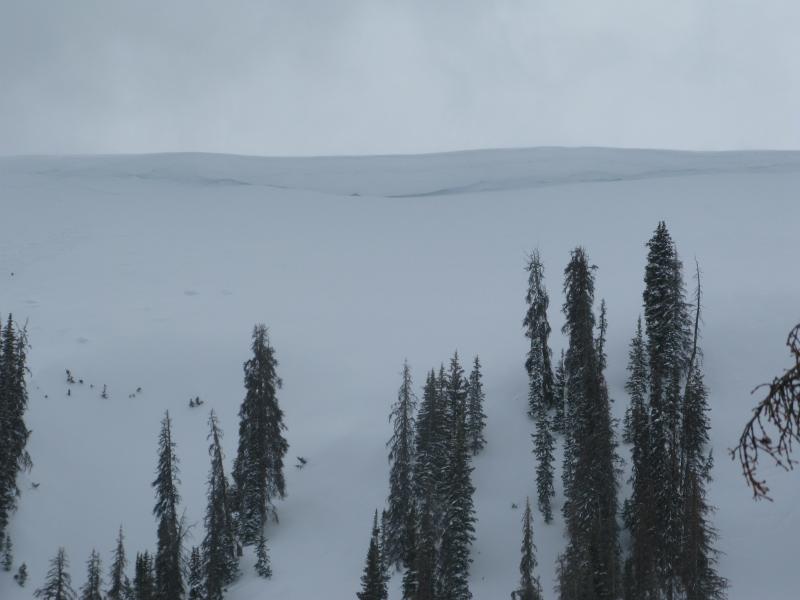
Recent winds coupled with dense snow are adding another layer to the already ginormous ridgeline corni. These unpredictable boxcar monsters are breaking further back than you'd think, and can easily take you for an unexpected, terrifying, elevator ride to the ground floor. |
 |
weather Light snow showers continue through the morning and it'll remain cold with highs only reaching into the low teens. West and northwest winds blow 20-30 mph along the high ridges. The flow starts turning more westerly this afternoon and we gradually dry out through tonight. A break in the action is slated for Saturday morning and then a weak system brings a chance of snow late in the day with minimal accumulations. A more robust storm is on tap for Sunday night through Tuesday. |
| general announcements Remember your information can save lives. If you see anything we should know about, please participate in the creation of our own community avalanche advisory by submitting snow and avalanche conditions. You can call me directly at 801-231-2170, email [email protected] The information in this advisory is from the US Forest Service which is solely responsible for its content. This advisory describes general avalanche conditions and local variations always occur. The information in this advisory expires 24 hours after the date and time posted, but will be updated by 7:00 AM on Saturday February 25th. |