25th Annual Black Diamond Fall Fundraising Party
Thursday, September 13; 6:00-10:00 PM; Black Diamond Parking Lot
25th Annual Black Diamond Fall Fundraising Party
Thursday, September 13; 6:00-10:00 PM; Black Diamond Parking Lot
| Advisory: Uintas Area Mountains | Issued by Craig Gordon for Saturday - February 11, 2017 - 3:50am |
|---|

|
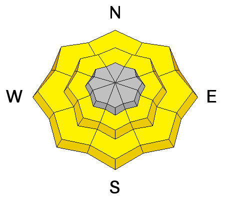
bottom line A MODERATE avalanche danger is found in steep terrain on all aspects at low and mid elevations elevations where damp snow exists and human triggered avalanches are possible. In addition, a MODERATE avalanche danger exists for fresh wind drifts along the leeward side of upper elevation ridges and on steep wind sheltered terrain facing the north half of the compass where you could still trigger a slide that breaks to weak snow now buried several feet deep.
|
 |
special announcement Do you buy groceries at Smiths? When you register your Smith’s rewards card with their Community Rewards program, they will donate to the Utah Avalanche Center whenever you make a purchase. It's easy, only takes a minute, and doesn't cost you anything. Details here. |
 |
current conditions Yesterday's moist storm delivered nearly 10" of dense, heavy snow with Trial Lake the clear winner. Looking at temperatures and rain gages, I'm thinking our low to mid elevation terrain received a mix of damp, heavy snow and white rain. Cooler air finally arrived early this morning knocking temperatures into the upper 20's and mid 30's. Winds switched to the northeast around 3:00 and they're blowing 15-25 mph along the high ridges. Riding and turning conditions are gonna be a mixed bag, especially down low. However, gain a little elevation and I bet you'll be rewarded with spongy snow that's got a 'lotta body!
Real time wind, snow, and temperatures for the Uinta's are found here
Ted was in Whitney basin Thursday and in some places you could barely leave a trackmark in the snow. More on his travels here. Snowpack observations and trip reports are found here. |
 |
recent activity
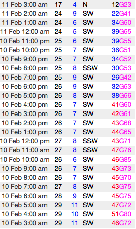
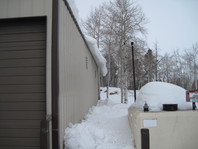
Cornices.... they're YUUUUUGE... and they're breaking unexpectedly along the ridges. In addition, slabs of snow are peeling off of roofs. A full list of Uinta avalanche activity is found here. |
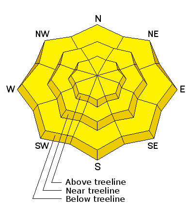
| type | aspect/elevation | characteristics |
|---|

|
|
LIKELIHOOD
 LIKELY
UNLIKELY
SIZE
 LARGE
SMALL
TREND
 INCREASING DANGER
SAME
DECREASING DANGER
|
|
description
Yesterday's low and mid elevation damp snow and rain mix blanketed the old snow surface, creating damp, manky snow and in some places, unsupportable conditions. Until the snowpack completely cools off and locks up, you'll want to avoid any steep slope that feels unsupportable or punchy... kinda like a trap door. In addition, steer clear of terrain traps like gullies and road cuts where wet, heavy, cement-like debris can stack up very deeply. |
| type | aspect/elevation | characteristics |
|---|

|
|
LIKELIHOOD
LIKELY
UNLIKELY
SIZE
LARGE
SMALL
TREND
 INCREASING DANGER
SAME
DECREASING DANGER
|
|
description
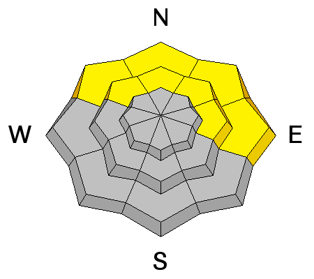
Southwest winds cranked, blowing into the 50's and 60's along the ridges yesterday, whipping the new snow into dense drifts. While the storm snow appears to be well bonded to the old snow surface, I bet there's a slab or two lurking on the leeward side of upper elevation ridges and around terrain features like chutes and gullies. Today's fresh drifts are manageable, meaning they'll break at or below our skis, board, or sled. None-the-less if you're changing elevations or bowl hopping, re-evaluate the snow by tweaking small test slopes similar in aspect, elevation, and slope angle to what you want to ride. See how they're reacting before charging into a big, committing line.
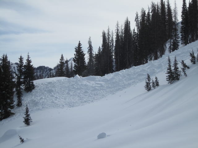
Cornices have grown extremely large and recent warm temperatures are turning these boxcar monsters into unpredictable beasts. Once released, a cornice crashing down on the slope below can easily trigger an avalanche, entraining more snow then you might've bargained for and stacking up large piles of tree snapping debris. As the storm starts to materializes and snow stacks up, wind drifts will form on the leeward side of upper elevation ridges and around terrain features like chutes and gullies. I suspect today's drifts won't become an issue until later in the day, but you'll definitely want to be aware of changing conditions and avoid any fat, rounded piece of snow, especially if it sounds or feels hollow like a drum. |
| type | aspect/elevation | characteristics |
|---|

|
|
LIKELIHOOD
LIKELY
UNLIKELY
SIZE
LARGE
SMALL
TREND
INCREASING DANGER
SAME
DECREASING DANGER
|
|
description
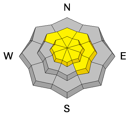
I'm not convinced we're entirely done with our near surface facet and surface hoar problem children, but lately they've been pretty well-behaved. Trouble is... they're now buried several feet beneath the snow surface and if triggered, the end result is a going to be an unmanageable slide. Found on the north half of the compass in mid elevation terrain, with a little homework, by digging around you can easily identify slopes that have a suspect snowpack and simply avoid them. |
 |
weather Light snow continues through the morning with a couple more inches stacking up. Temperatures cool into the upper 20's and northwest winds blow in the 20's and 30's along the high ridges. Skies begin clearing late in the day and overnight lows dip into the teens. High pressure builds Sunday and remains camped out for the upcoming week. |
| general announcements Remember your information can save lives. If you see anything we should know about, please participate in the creation of our own community avalanche advisory by submitting snow and avalanche conditions. You can call me directly at 801-231-2170, email [email protected] The information in this advisory is from the US Forest Service which is solely responsible for its content. This advisory describes general avalanche conditions and local variations always occur. The information in this advisory expires 24 hours after the date and time posted, but will be updated by 7:00 AM on Sunday February 12th. |