25th Annual Black Diamond Fall Fundraising Party
Thursday, September 13; 6:00-10:00 PM; Black Diamond Parking Lot
25th Annual Black Diamond Fall Fundraising Party
Thursday, September 13; 6:00-10:00 PM; Black Diamond Parking Lot
| Advisory: Uintas Area Mountains | Issued by Craig Gordon for Friday - November 25, 2016 - 3:49am |
|---|

|
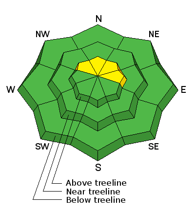
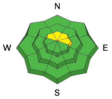
bottom line In the wind zone, at and above treeline, pockets of MODERATE avalanche danger exist and human triggered avalanches are possible, especially on steep, wind drifted, shady slopes facing the north half of the compass. Out of the wind at mid and low elevations the avalanche danger is generally LOW. Heads up- both Mirror Lake Highway and Wolf Creek Pass are still open and access to avalanche terrain is relatively easy. Remember... just cause you can see your rig from a ridgeline doesn't necessarily make the terrain any safer and triggering even a small slide this time of year will reveal stumps, rocks, and general nastiness, easily ruining your day or perhaps your season.
|
 |
special announcement The next advisory update will be Saturday, November 26th. In the meantime, while you're waiting for snow to stack up, please let us know what you're seeing. You can reach me at [email protected] or 801-231-2170. Also, before life gets crazy busy, consider scheduling one of our free avalanche awareness presentations (contact me at [email protected]) or sign up for our ever-popular, sled specific Avy Awareness and Riding Skills Workshop. (Click here for more details) Whole foods event: Between now and Jan 15th: Donate to the Utah Avalanche Center by shopping at Whole Foods Market Utah! when you visit Whole Foods Market Trolley Square, Sugarhouse & Cottonwood Heights locations and bring in your re-usable bags, Whole Foods will donate a dime per bag to Utah Avalanche Center when the cashier asks if you want to “keep or donate” your bag credit and you say “DONATE". |
 |
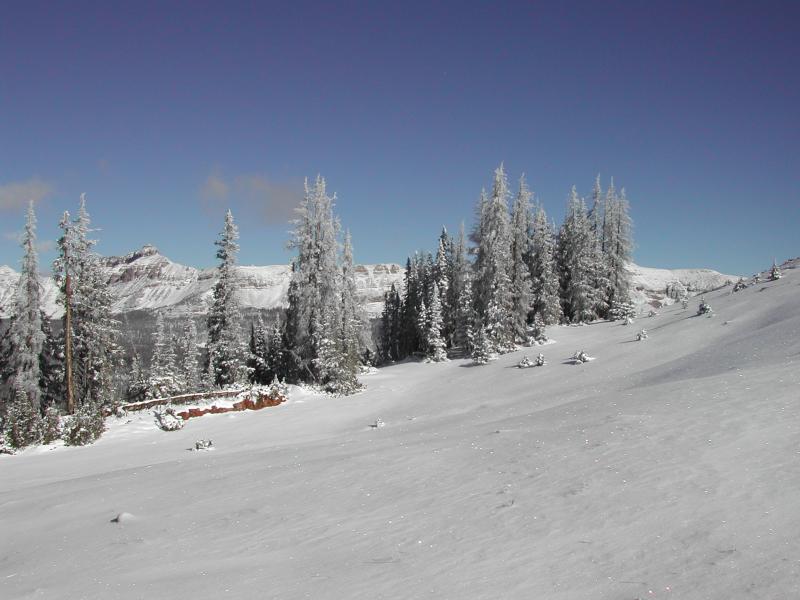
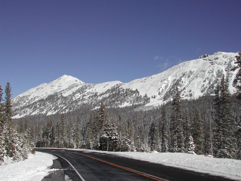
current conditions Skies remained clear overnight and temperatures bottomed out in the low to mid 20's where they sit early this morning. Right about the time I was reaching for another helping of kale wrapped sweet potatoes and quinoa, southerly winds ramped up and they're currently blowing in the mid 20's and 30's along the high peaks. Things are slowly filling in, but the Uinta's are a rocky place. In general it's still super shallow and there's just barely enough snow to recreate on. Ted was out and about Tuesday and submitted his trip report along with a nice video overview of current conditions... found here. Real time wind, snow, and temperatures for the Uinta's are found here.
It's starting to fill in, but still pretty boney, even on the high elevation slopes near Bald Mountain Pass. Ted Scroggin photo. |
 |
recent activity No new avalanche activity to report. |
| type | aspect/elevation | characteristics |
|---|

|
|
LIKELIHOOD
 LIKELY
UNLIKELY
SIZE
 LARGE
SMALL
TREND
 INCREASING DANGER
SAME
DECREASING DANGER
|
|
description
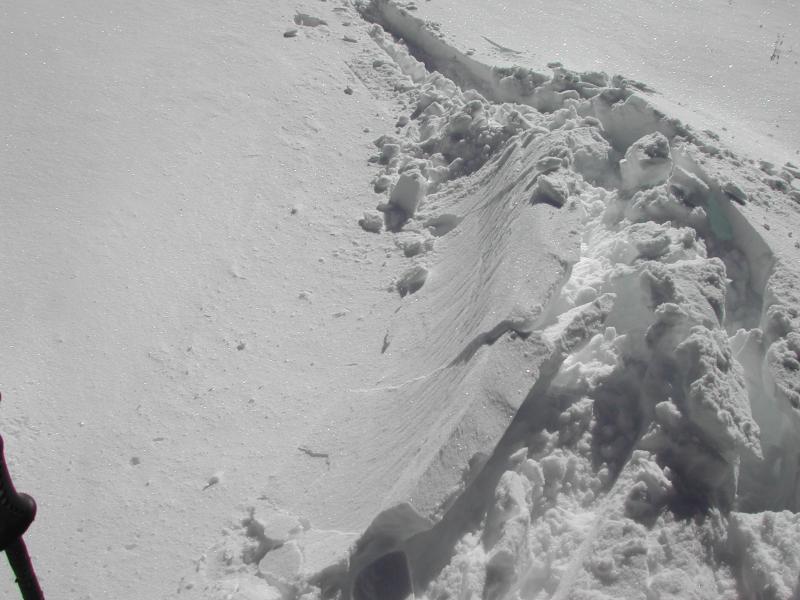
Yesterday's mild temperatures probably helped to heal some of the new snow instabilities from our Wednesday night storm and that's good news. However, with winds already on the rise, I bet they're finding just enough snow to blow around and create pockety wind drifts along the leeward side of upper elevation ridges. It's not a widespread issue and generally isolated to steep, upper elevation, wind drifted terrain, especially slopes facing the north half of the compass. Today, you'll want to avoid any fat looking piece of snow, especially if it feels or sounds hollow like a drum.
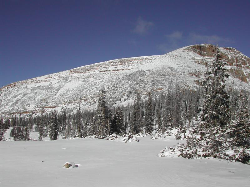
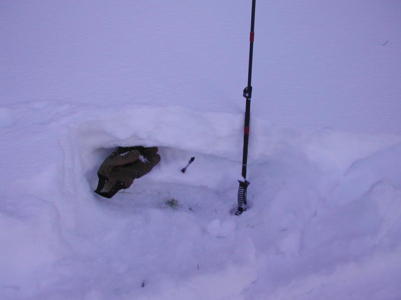
Ted found a few isolated slabs along the high ridgelines near Bald Mountain Pass yesterday. Ted Scroggin photo.
Shallow snowpack, but not much weak sugary snow near the ground. Ted Scroggin photo. |
 |
weather A beautiful day is on tap for the mountains with sunny skies and temperatures rising into the upper 30’s and low 40’s. Overnight lows dip into the 20’s. Along the ridges, southwest winds are gonna be a nuisance, blowing in the 30’s with gusts near 50 mph along the high peaks. Warmer and windy weather is slated for Saturday with a snow shower or two developing late in the day. An active weather pattern is still on tap for Sunday through Tuesday. More details on timing should emerge for tomorrows advisory. |
| general announcements Remember your information can save lives. If you see anything we should know about, please participate in the creation of our own community avalanche advisory by submitting snow and avalanche conditions. You can call me directly at 801-231-2170, email [email protected] The information in this advisory is from the US Forest Service which is solely responsible for its content. This advisory describes general avalanche conditions and local variations always occur. The information in this advisory expires 24 hours after the date and time posted, but will be updated on Saturday November 26th. |