25th Annual Black Diamond Fall Fundraising Party
Thursday, September 13; 6:00-10:00 PM; Black Diamond Parking Lot
25th Annual Black Diamond Fall Fundraising Party
Thursday, September 13; 6:00-10:00 PM; Black Diamond Parking Lot
| Advisory: Uintas Area Mountains | Issued by Craig Gordon for Wednesday - November 23, 2016 - 3:56am |
|---|


|
bottom line While most terrain offers a LOW avalanche danger, you'll find a wind slab or two sensitive to your additional weight on upper elevation, steep, wind drifted, shady slopes. Remember- triggering even a small slide this time of year will reveal stumps, rocks, and general nastiness and can easily ruin your day or perhaps your season.
|
 |
special announcement The next advisory update will be Thursday, November 24. In the meantime, while you're waiting for snow to stack up, please let us know what you're seeing. You can reach me at [email protected] or 801-231-2170. Also, before life gets crazy busy, consider scheduling one of our free avalanche awareness presentations (contact me at [email protected]) or sign up for our ever-popular, sled specific Avy Awareness and Riding Skills Workshop. (Click here for more details) Whole foods event: Between now and Jan 15th: Donate to the Utah Avalanche Center by shopping at Whole Foods Market Utah! when you visit Whole Foods Market Trolley Square, Sugarhouse & Cottonwood Heights locations and bring in your re-usable bags, Whole Foods will donate a dime per bag to Utah Avalanche Center when the cashier asks if you want to “keep or donate” your bag credit and you say “DONATE". |
 |
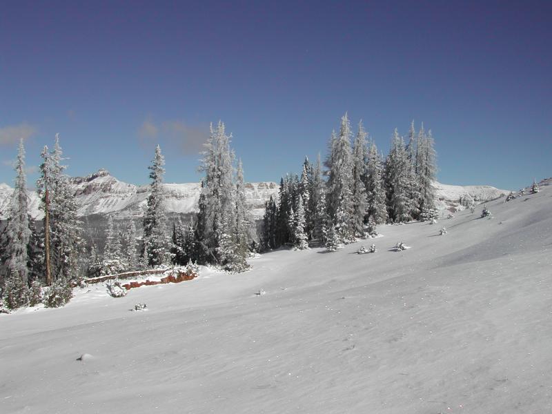
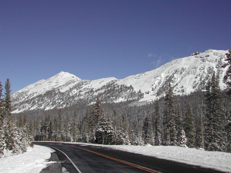
current conditions Clouds are just starting to creep into the western half of the state ahead of the next fast moving storm slated to reach our area later today. Closer to home, temperatures are in the upper teens and low 20's, and southerly winds are blowing 15-25 mph along the high peaks. Monday night's system delivered about 8" of heavy, dense snow and while it's just what the Weather Doctor ordered, it's still super shallow and there's hardly enough snow to recreate on just yet. Ted was out and about yesterday and submitted his trip report along with a nice video overview of current conditions... found here. Real time wind, snow, and temperatures for the Uinta's are found here.
It's starting to fill in, but still pretty boney, even on the high elevation slopes near Bald Mountain Pass. Ted Scroggin photo. |
 |
recent activity No new avalanche activity to report. |
| type | aspect/elevation | characteristics |
|---|

|

|
LIKELIHOOD
 LIKELY
UNLIKELY
SIZE
 LARGE
SMALL
TREND
 INCREASING DANGER
SAME
DECREASING DANGER
|
|
description
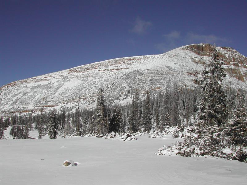
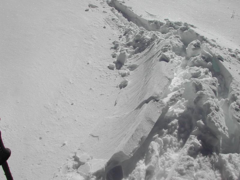
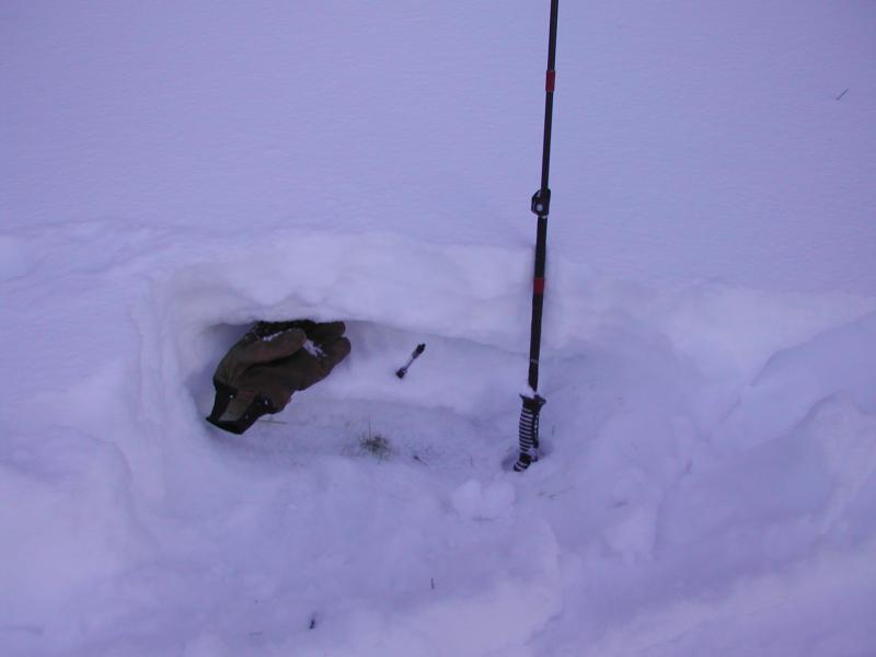
Since last Thursday the Uinta's have picked up just over a foot of medium density snow. We're off to a good start and there's very little, weak, sugary snow on the ground to contend with. Of course, you'd really have to go out of your way to trigger a slide today, but it's not impossible. I bet there's a wind slab or two that'll be sensitive to the additional weight of a person and these are found on steep, upper elevation, wind drifted slopes facing the north half of the compass. Remember- even a small avalanche this time of year can result in a season ending injury.
Ted found a few isolated slabs along the high ridgelines near Bald Mountain Pass yesterday. Ted Scroggin photo.
Shallow snowpack, but not much weak sugary snow near the ground. Ted Scroggin photo. |
 |
weather Temperatures rise into the upper 30's, southerly winds ramp up into the 40's and clouds thicken throughout the day. We should see a quick shot of snow develop late this afternoon, lingering into Thanksgiving morning with 4"-8" of snow possible by morning. Clear and warming for Thursday and Friday. We're cautiously optimistic that a large and complex storm gradually moves through the region Sunday into Tuesday, bringing gusty winds, colder temperatures and several periods of moderate to heavy snowfall.
|
| general announcements Remember your information can save lives. If you see anything we should know about, please participate in the creation of our own community avalanche advisory by submitting snow and avalanche conditions. You can call me directly at 801-231-2170, email [email protected] The information in this advisory is from the US Forest Service which is solely responsible for its content. This advisory describes general avalanche conditions and local variations always occur. The information in this advisory expires 24 hours after the date and time posted, but will be updated on Thursday November 24th. |