| Please join us at the 23rd annual Black Diamond Fall Fundraiser Party Thursday Sept 15. Tickets are on sale now here, at the Black Diamond store & at REI. Special bonus raffle for online ticket purchasers! |
| Please join us at the 23rd annual Black Diamond Fall Fundraiser Party Thursday Sept 15. Tickets are on sale now here, at the Black Diamond store & at REI. Special bonus raffle for online ticket purchasers! |
| Advisory: Uintas Area Mountains | Issued by Craig Gordon for Monday - February 15, 2016 - 4:25am |
|---|


|
bottom line At and above treeline, a MODERATE avalanche danger exists and human triggered avalanches are possible on steep, shady slopes, especially those with recent deposits of wind drifted snow. Any avalanche that breaks to weak, sugary snow near the ground has the potential to be deep and dangerous. Wind sheltered terrain under 30 degrees in slope steepness is the ticket for finding LOW avalanche danger.
|
 |
special announcement
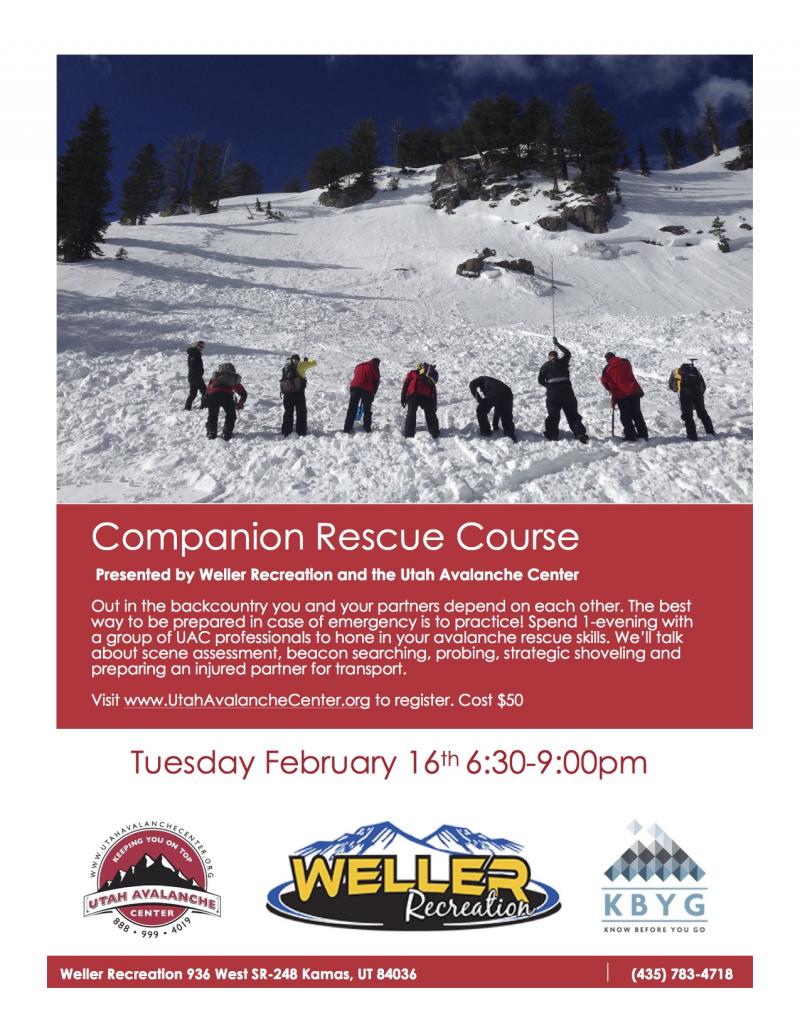
Join us Tuesday for a companion rescue workshop hosted by our good friends at Weller Recreation. Should be a great time - Click here for more details and to register.
|
 |
current conditions Yesterday's little brush-by system brought a much needed coat of white paint, delivering 4" of dense, spongy snow to the range. Temperatures are mild, in the mid 20's and low 30's. West and southwest winds continued cranking in the 40's and 50's overnight, but began mellowing somewhat early this morning and have backed off into the mid 30's. The snow surface is a mixed bag for sure... crusted snow on the sunny aspects and old tracks nearly everywhere. However, with a little bit of exploring you can still find soft settled snow on shady north facing slopes.
Last nights new snow will go a long way to help fill in old tracks and put a temporary hold on parking lot mud season. (Scroggin photos) Trip reports and observations are found here.
|
 |
recent activity
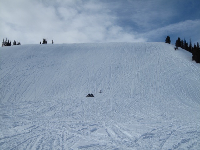
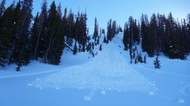
This slide in Race Track Bowl was triggered Saturday and broke to weak snow near the ground. The bowl avalanched earlier this season, failing on weak snow near the ground, and is a great example of the trend we're seeing with "repeater" slopes. Recent avalanche observations are found here See or trigger an avalanche? Shooting cracks? Hear a collapse? It's simple. Go here to fill out an observation.
|
| type | aspect/elevation | characteristics |
|---|

|
|
LIKELIHOOD
 LIKELY
UNLIKELY
SIZE
 LARGE
SMALL
TREND
 INCREASING DANGER
SAME
DECREASING DANGER
|
|
description
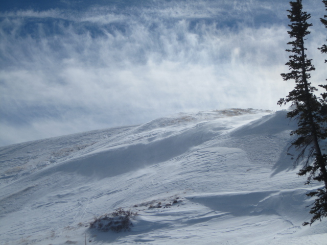
Once it started snowing late yesterday, west and southwest winds finally had enough fresh snow to work with, rapidly forming dense slabs along the leeward side of upper elevation ridges, and around terrain features like chutes and gullies. While today's slabs might be a little stubborn to initate, once triggered they have the potential to break deeper and wider than you might expect. Easy to detect by their fat, rounded appearance, I'd avoid any recently wind loaded slope, especially if it sounds hollow like a drum. Remember- even a small slide can get quickly out of hand if it breaks to weak sugary snow near the ground.
Ted was in Whitney Basin Saturday, where the winds were busy at work, already building shallow slabs along the leeward side of upper elevation ridges. More on his travels here.
|
| type | aspect/elevation | characteristics |
|---|

|

|
LIKELIHOOD
 LIKELY
UNLIKELY
SIZE
 LARGE
SMALL
TREND
 INCREASING DANGER
SAME
DECREASING DANGER
|
|
description
While it's becoming harder to trigger a deep, dangerous avalanche, we're still finding places that have weak sugary snow near the ground with stronger, more dense snow resting on top. Steep terrain that faces the north half of the compass, at or above tree line, and particularly slopes that previously avalanched during the big Solstice Storm should be considered suspect and still need to be carefully evaluated.
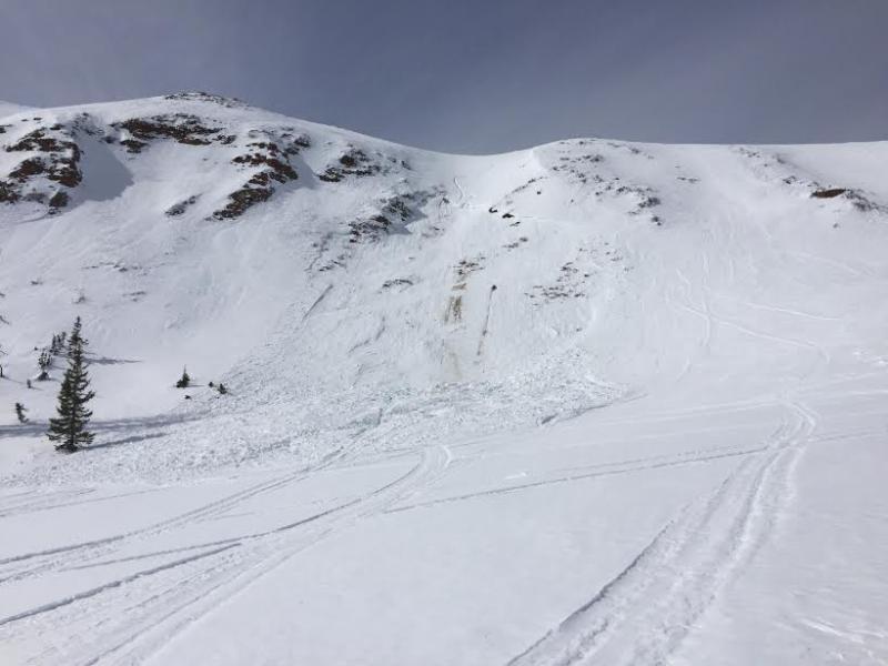
This avalanche in upper Whitney Basin from last Tuesday in a steep, rocky section of the slope, has the same characteristics as the slide in Race Track Bowl over the weekend. While it's becoming less likely to trigger an avalanche of this nature, a piece of snow this size can definitely ruin your day. (Kikkert photo)
|
 |
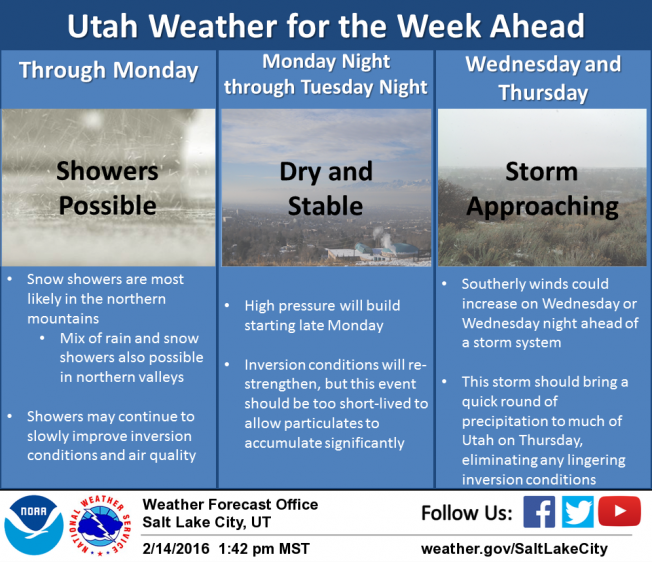
weather A warming northwest flow persists over northern Utah and after a few scattered snow showers this morning, we should start to dry out as the day progresses. West and northwest winds remain strong along the high peaks today, gusting in the 40's and 50's, then diminish tonight. High temperatures rise into the mid and upper 30's with overnight lows dipping into the mid 20's. A break in the action midweek with a better looking shot of snow developing Thursday.
|
| general announcements Remember your information can save lives. If you see anything we should know about, please participate in the creation of our own community avalanche advisory by submitting snow and avalanche conditions. You can call me directly at 801-231-2170, email [email protected], or email by clicking HERE If Craig is unavailable you can reach his partner Trent at 801-455-7239, email [email protected] This is a great time of year to schedule a free avalanche awareness presentation for your group or club. You can contact me at 801-231-2170 or email [email protected]. To register for the first in our series of on-the-snow sled specific classes you can register here. The information in this advisory is from the US Forest Service which is solely responsible for its content. This advisory describes general avalanche conditions and local variations always occur. The information in this advisory expires 24 hours after the date and time posted, but will be updated by 7:00 AM on Tuesday, February 16th.
|