| During the month of April, Mark Miller will donate $75 to the charity of your choice (5 to chose from, including the Utah Avalanche Center!) Mark Miller Subaru has raised over $300k in the previous 6 Do Good Feel Good events. More Info here |  |
| During the month of April, Mark Miller will donate $75 to the charity of your choice (5 to chose from, including the Utah Avalanche Center!) Mark Miller Subaru has raised over $300k in the previous 6 Do Good Feel Good events. More Info here | |
| Advisory: Uintas Area Mountains | Issued by Craig Gordon for Sunday - April 5, 2015 - 5:49am |
|---|

|
bottom line At mid and upper elevations, the avalanche danger will rise to MODERATE and human triggered wet slides are possible on steep, sun baked slopes, especially during the heat of the day. Most other terrain is either bare ground or offers a LOW avalanche danger.
|
 |
special announcement We are winding down the "winter that wasn't" and today, Sunday April 5th will be the last of our regularly scheduled advisories. Click here for a short viddy shout-out giving huge thanks to all of our great partners for helping to make this program so successful! |
 |
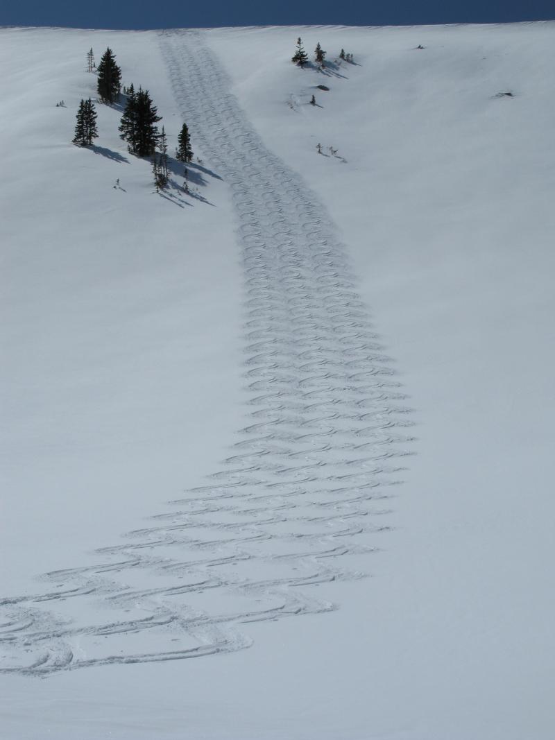
current conditions Happy Easter! Skies remained mostly clear overnight, but this mornings temperatures are slightly warmer... in the mid 20's and low 30's. Southwest winds are gonna be a pain in the neck along the ridges where they're blowing in the 30's and 40's. Most trailheads are toast and it's slow going til the surface snow softens. However, patches of soft, shallow powder can still be found on upper elevation north facing terrain. Click here for real-time temperatures, snowfall, and winds.
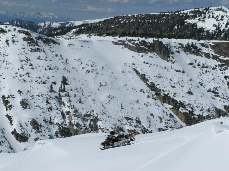
Not a bad payoff. A couple bucks worth of gas...
... allows us to maintain our weather stations
... provides million dollar views
... and delivers us to tattoo-worthy snow.
|
 |
recent activity
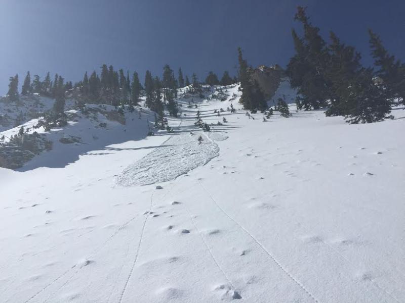
On Friday, the only activity we saw was shallow sluffing on steep, shady slopes.
|
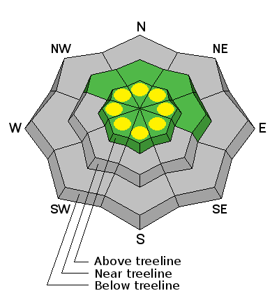
| type | aspect/elevation | characteristics |
|---|

|

|
LIKELIHOOD
 LIKELY
UNLIKELY
SIZE
 LARGE
SMALL
TREND
 INCREASING DANGER
SAME
DECREASING DANGER
|
|
description
While there's a predictable, "go anywhere" base, and a pretty straightforward avalanche danger, there are some things you want to consider in your travels the next few days-
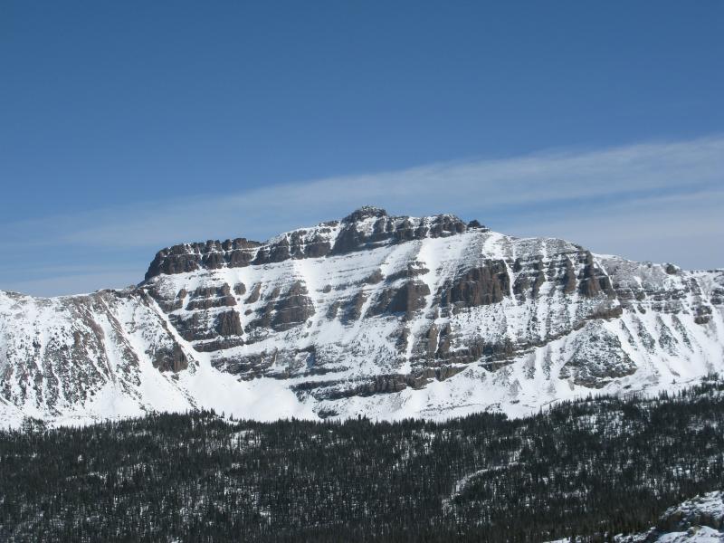
I shot this picture Friday of Upper Weber Canyon whilst perched high in the saddle between Bald Mountain and Reids Peak. The lack of snow for the beginning of April is unprecedented.
|
 |
weather Warm and windy weather is on tap today as a moisture starved cold front makes its way towards the state. Expect temperatures to climb into the 50's with Southwest winds cranking into the 40's and 50's with gusts to 70 mph along the high peaks by days end. We might see an inch or two of snow developing late tonight into Monday along with decreasing winds. Southwest winds ramp back up midweek as the next cold storm approaches. Looks like a decent shot of snow Wednesday afternoon into Thursday.
|
| general announcements Remember your information can save lives. If you see anything we should know about, please participate in the creation of our own community avalanche advisory by submitting snow and avalanche conditions. You can call me directly at 801-231-2170, email [email protected], or email by clicking HERE This is a great time of year to schedule a free avalanche awareness presentation for your group or club. You can contact me at 801-231-2170 or email [email protected] Donate to your favorite non-profit –The Utah Avalanche Center. The UAC depends on contributions from users like you to support our work. Benefit the Utah Avalanche Center when you buy or sell on ebay - set the Utah Avalanche Center as a favorite non-profit in your ebay account here and click on ebay gives when you buy or sell. You can choose to have your seller fees donated to the UAC, which doesn't cost you a penny. Utah Avalanche Center mobile app - Get your advisory on your iPhone along with great navigation and rescue tools. The information in this advisory is from the US Forest Service which is solely responsible for its content. This advisory describes general avalanche conditions and local variations always occur. I will update this advisory by Monday Apr. 6, 2015 with some general avalanche information and links to help you navigate snow and weather conditions this spring. |


_0.jpg)