| During the month of April, Mark Miller will donate $75 to the charity of your choice (5 to chose from, including the Utah Avalanche Center!) Mark Miller Subaru has raised over $300k in the previous 6 Do Good Feel Good events. More Info here |  |
| During the month of April, Mark Miller will donate $75 to the charity of your choice (5 to chose from, including the Utah Avalanche Center!) Mark Miller Subaru has raised over $300k in the previous 6 Do Good Feel Good events. More Info here | |
| Advisory: Uintas Area Mountains | Issued by Craig Gordon for Saturday - March 14, 2015 - 4:59am |
|---|

|
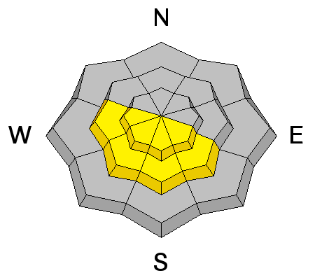
bottom line The avalanche danger will rise to MODERATE and human triggered slides are possible on all steep snow covered slopes, especially during the heat of the day. Avalanches triggered in steep, rocky terrain have the potential to break deeper and wider than you might expect and could get quickly out of hand. Most other terrain offers a LOW avalanche danger.
|
 |
special announcement Very warm temperatures are expected today and avalanche danger will spike as the day wares on |
 |
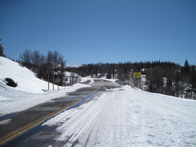
current conditions Skies remained clear overnight and temperatures bottomed out in the mid to upper 20's. South and southeast winds started ramping up early this morning and are currently blowing 10-20 mph with a few gusts in the mid 20's along the highest peaks. It's rugged travel out there especially early in the morning. Lower elevation trailheads and roads are melting fast, and many old tracks are hard and set up.... sorta like curb and gutter. But gain a little elevation, swing around to slopes facing the north half of the compass, and believe it or not, you'll still find soft, settled, creamy snow on a go-anywhere base. Click here for real-time temperatures, snowfall, and winds.
A little grim down low.
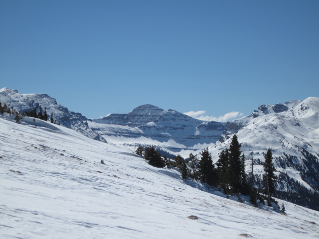
Ted was treated to these views in upper Millcreek yesterday. More on his travels here.
|
 |
recent activity
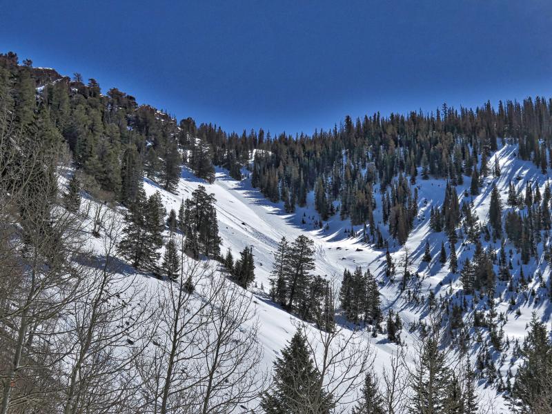
JG spotted these wet slides yesterday during his travels in upper Weber Canyon on steep slopes facing the south half of the compass. JG's always awesome take on the snow conditions can be found here.
|
| type | aspect/elevation | characteristics |
|---|

|

|
LIKELIHOOD
 LIKELY
UNLIKELY
SIZE
 LARGE
SMALL
TREND
 INCREASING DANGER
SAME
DECREASING DANGER
|
|
description
Most of the slopes facing the south half of the compass have been soaking in the sun, are adjusting to spring-break, and predictably reacting during the heat of the day. However, the terrain facing the north half of the compass will get its first taste of spring-time warmth today as temperatures are forecast to sky-rocket into the upper 40's. In general our snowpack has been pretty well behaved, but this rapid change will be a shock to its system and today's avalanches have the potential to break to weak snow near the ground. Our usual suspects come to mind... steep, rocky slopes with a thin, shallow snowpack. If you're getting into terrain with these characteristics remember- even a small slide breaking to the ground could quickly get out of hand, especially in steep committing terrain.
|
| type | aspect/elevation | characteristics |
|---|

|
|
LIKELIHOOD
LIKELY
UNLIKELY
SIZE
LARGE
SMALL
TREND
 INCREASING DANGER
SAME
DECREASING DANGER
|
|
description
It's March and the sun is getting intense. As the day heats up and particularly if you're feeling like an ant under a magnifying glass, you'll want to get off of and out from under steep, sunny slopes. In addition, avoid terrain traps like gullies and road cuts where wet, cement-like debris can pile up very deeply.
Todays heat will make cornices more tender and they may break further back than you'd expect.
|
 |
weather Clouds thicken as the day wares on and southerly winds gust into the 30's by late this afternoon. A warming trend continues through the weekend with highs reaching into the upper 40's and overnight lows hovering right around freezing. Sunday will be warm and cloudy and a slight cooling trend is slated for early in the week. It looks like a weak storm gives us an inch or two of snow midweek.
|
| general announcements Remember your information can save lives. If you see anything we should know about, please participate in the creation of our own community avalanche advisory by submitting snow and avalanche conditions. You can call me directly at 801-231-2170, email [email protected], or email by clicking HERE This is a great time of year to schedule a free avalanche awareness presentation for your group or club. You can contact me at 801-231-2170 or email [email protected] Donate to your favorite non-profit –The Utah Avalanche Center. The UAC depends on contributions from users like you to support our work. Benefit the Utah Avalanche Center when you buy or sell on ebay - set the Utah Avalanche Center as a favorite non-profit in your ebay account here and click on ebay gives when you buy or sell. You can choose to have your seller fees donated to the UAC, which doesn't cost you a penny. Utah Avalanche Center mobile app - Get your advisory on your iPhone along with great navigation and rescue tools. The information in this advisory is from the US Forest Service which is solely responsible for its content. This advisory describes general avalanche conditions and local variations always occur. I will update this advisory by 7:00 AM Sunday Mar. 15, 2015. |


_0.jpg)