| During the month of April, Mark Miller will donate $75 to the charity of your choice (5 to chose from, including the Utah Avalanche Center!) Mark Miller Subaru has raised over $300k in the previous 6 Do Good Feel Good events. More Info here |  |
| During the month of April, Mark Miller will donate $75 to the charity of your choice (5 to chose from, including the Utah Avalanche Center!) Mark Miller Subaru has raised over $300k in the previous 6 Do Good Feel Good events. More Info here | |
| Advisory: Uintas Area Mountains | Issued by Craig Gordon for Sunday - April 13, 2014 - 5:32am |
|---|


|
bottom line The danger of wet avalanches starts out as LOW this morning, but will rise to MODERATE with daytime heating. Both human triggered and natural avalanches are possible on steep, sun exposed slopes. Once initiated, avalanches have the possibility to break to the ground, especially in steep, rocky terrain with a shallow snowpack. During the heat of the day avoid terrain traps like gullies and road cuts where even a small slide can stack up huge piles of bone snapping debris.
.
|
 |
special announcement Today, Sunday April 13th is the last of our regularly scheduled advisories for the 2013-14 season. |
 |
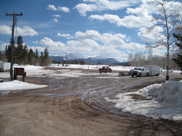
current conditions Cloudy skies, an inch of new snow, and much colder temperatures moved into the area overnight. Currently it's in the mid 20's and northwest winds are blowing 15-30 mph along the high ridges. Riding and turning conditions are gonna be a mixed bag. There's lots of old, hard tracks and with just a dusting of snow it might be a little rugged out there this morning
The heat is on and it's mud season on the eastern front. Click here for current winds, temperatures, and snowfall throughout the range. Click here for trip reports.
|
 |
recent activity
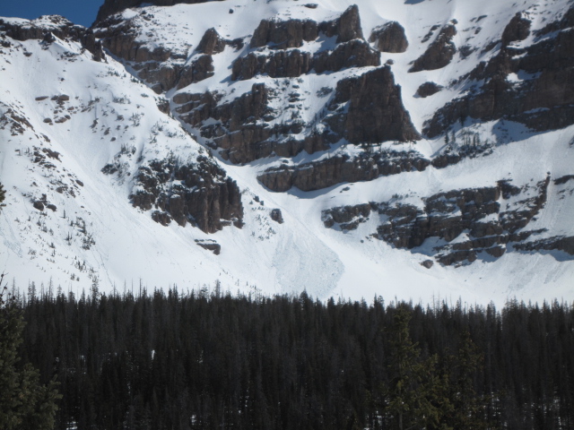
It was sweltering Friday. During the heat of the day, Ted spotted this wet avalanche fanning out near Reids Peak. Archived avalanche activity is found here.
|
| type | aspect/elevation | characteristics |
|---|

|
|
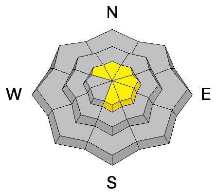
LIKELIHOOD
 LIKELY
UNLIKELY
SIZE
 LARGE
SMALL
TREND
 INCREASING DANGER
SAME
DECREASING DANGER
|
|
description
It'll feel like winter in the high country today, but with any glimpse of intense sunshine filtering through the clouds, the surface snow will take on heat. if the slope you're riding on starts to get damp and gloppy, simply move to colder snow by changing aspect or perhaps gaining a bit of elevation. A good rule of thumb is to get off and out from under steep, sun exposed slopes and avoid terrain traps like gullies, especially during the heat of the day.
.
|
| type | aspect/elevation | characteristics |
|---|

|
|
LIKELIHOOD
LIKELY
UNLIKELY
SIZE
 LARGE
SMALL
TREND
 INCREASING DANGER
SAME
DECREASING DANGER
|
|
description
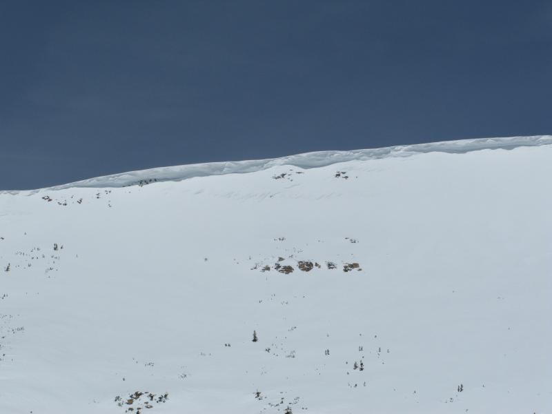
Overhanging cornices are fat and connected and have the possibility to break back further than you might expect. |
 |
weather A couple inches of snow with much cooler temperatures are on tap for the region today. Highs reach into the low 30's with overnight lows in the teens. Northwest winds will gust into the 30's and 40's along the high ridges. Clearing skies are slated for tonight through Monday with another storm scheduled for mid week.
|
| general announcements Remember your information can save lives. If you see anything we should know about, please participate in the creation of our own community avalanche advisory by submitting snow and avalanche conditions. You can call me directly at 801-231-2170, email [email protected], or email by clicking HERE This is a great time of year to schedule a free avalanche awareness presentation for your group or club. You can contact me at 801-231-2170 or email [email protected] Donate to your favorite non-profit –The Utah Avalanche Center. The UAC depends on contributions from users like you to support our work. Benefit the Utah Avalanche Center when you buy or sell on ebay - set the Utah Avalanche Center as a favorite non-profit in your ebay account here and click on ebay gives when you buy or sell. You can choose to have your seller fees donated to the UAC, which doesn't cost you a penny. Utah Avalanche Center mobile app - Get your advisory on your iPhone along with great navigation and rescue tools. The information in this advisory is from the US Forest Service which is solely responsible for its content. This advisory describes general avalanche conditions and local variations always occur. I will update this advisory on Monday Apr. 14, 2014 with some year end thoughts.. |


_0.jpg)