

Avalanche Advisory
| Advisory: Uintas Area Mountains | Issued by Craig Gordon for December 1, 2012 - 6:03am |
|---|


Above treeline
Near treeline
Below treeline
|
bottom line Terrain to avoid- steep, upper elevation, north facing slopes above treeline where fresh wind drifts will be sesnsitive to the weight of a rider. It's shallow out there and triggering even a small slide could take you for a season ending ride through rocks, stumps, and trees. LOW avalanche danger exists on wind sheltered slopes.
|

 |
special announcement Mirror Lake Highway is closed and plowing is done for the season. Wolf Creek Pass remains open, but don't let the easy access to nearby terrain lull you into a false sense of security. Be prepared for your own self rescue. Wear and know how to use a beacon, shovel, and probe. |
 |
current conditions Skies remain overcast in the wake of last night's fast moving system that deposited 2" of dense, creamy snow along the upper elevation terrain throughout the region. In the warm southwest flow, temperatures are balmy, only dipping into the low and mid 30's overnight where they sit early this morning. West and southwest winds notched up last night around 10:00 and have been blowing steadily in the teens and 20's along the ridges with gusts in the 40's near the high peaks. Last night's little storm won't drastically change the riding conditions, but it will add a smooth, spongy, velveteen surface that will help cushion some of the old hard snow surfaces. Today you'll find the best riding in mid elevation, wind sheltered, north facing terrain. Check out this brief tutorial detailing the setup near Wolf Creek Pass where Trent and I stomped around yesterday.
South facing terrain is looking pretty brushy even at the upper elevations.
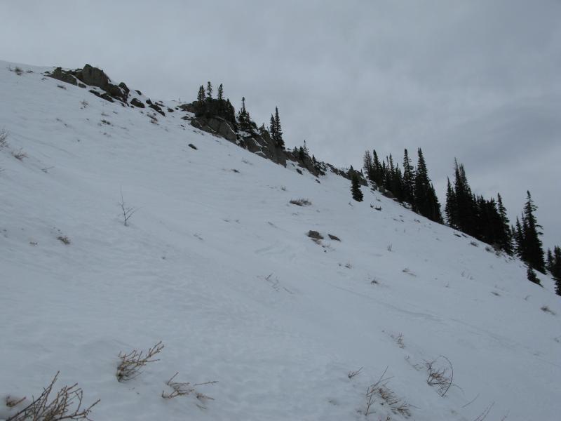
On the other side of the compass, North facing slopes are a bit spotty as well, but better coverage is found on low angle, rock free, wind sheltered meadows. Recent snow and avalanche observations can be found here. Wondering why last winter was so crazy? Click here to watch the 2011-12 Utah Winter Review... an excellent recap of last years conditions. |

 |
recent activity Yesterday, Ted found a pockety, shallow, and rather stubborn hard slab in upper elevation terrain around Bald Mountain. Click here to view his report. |
Avalanche Problem 1over the next 24 hours
| type | aspect/elevation | characteristics |
|---|
 |
Above treeline
Near treeline
Below treeline
|
|
|
description
Winds are always the great equalizer on the eastern front and while we didn't get slammed by a big storm overnight, I bet the wind helped to whip up a few fresh wind drifts along the leeward side of upper elevation terrain. Today's fresh slabs will be isolated to the high terrain in the wind zone and they've formed on a myriad of weak snow surfaces. While shallow and manageable in size, be aware these may fracture a little wider than you might expect, breaking into the shallow snowpack and exposing rocks and stumps. Best to continue avoiding steep upper elevation slopes facing the north half of the compass, especially those where the snow surface looks fat and rounded.
|

 |
weather There's a break between systems and today we can expect skies to become partly by the afternoon. West and southwest winds die down in all but the highest terrain where they will continue to gust into the 30's throughout the day. High temperatures reach into the mid and upper 30's before dipping near freezing overnight. Clouds, moisture, and winds ramp up again tomorrow ahead of a stronger but fast moving system that will impact the area late Sunday afternoon through Monday morning. Winds cranking in excess of 70 mph will be common along the ridgetops by tomorrow afternoon, but will decrease overnight. Not the big storm that the region desperately needs, but we should probably see another shot of high density snow in the 4"-8" range. High pressure quickly builds for early in the week with another brush-by expected for Wednesday. |
| general annoucements Remember your information can save lives. If you see anything we should know about, please participate in the creation of our own community avalanche advisory by submitting snow and avalanche conditions. You can call me directly at 801-231-2170, email [email protected], or email by clicking HERE This is a great time of year to schedule a free avalanche awareness presentation for your group or club. You can contact me at 801-231-2170 or email [email protected] Donate to your favorite non-profit –The Friends of the Utah Avalanche Center. The UAC depends on contributions from users like you to support our work. The information in this advisory is from the US Forest Service which is solely responsible for its content. This advisory describes general avalanche conditions and local variations always occur. The information in this advisory expires 24 hours after the date and time posted, but will be updated by 7:00 AM Saturday December 2nd. |