BOTTOM LINE
Danger by aspect and elevation on slopes approaching 35° or steeper.
(click HERE for tomorrow's danger rating)
|

Danger Rose Tutorial
|
The avalanche danger is generally LOW this morning and will rise to MODERATE on steep, leeward, upper elevation slopes. Human triggered avalanches will be possible, particularly in terrain with recent deposits of wind drifted snow. |
|
|
CURRENT CONDITIONS |

|
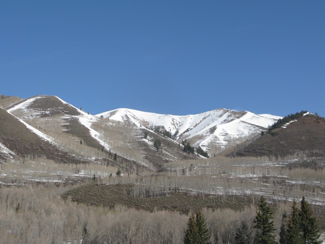
Nearly all low elevation south facing terrain is done for the season
Southwest winds are cranking along the ridges, averaging 30 mph with gusts in the 70’s. Currently, skies are clear and temperatures in the low 40’s. The “storm” is still a few hours away, but should reach the region around 10:00 this morning. Snow surface conditions are underwhelming at best. A late day dusk patrol might be your best bet today.
|
|
|
RECENT ACTIVITY |

|
No new avalanche activity to report.
Click here to view recent observations. |
|
|
THREAT #1 |

|
| WHERE |
PROBABILITY |
SIZE |
TREND |

|
|
|
|
| |
|
|
Over the next
24 hours.
|
|
|
It was a scorcher yesterday, but the snowpack remained well behaved and there were no reports of any significant avalanche activity. The much advertized storm system is still a few hours away, but it will usher in a quick hitting shot of fresh snow along with temperatures crashing into the 20’s. Once it does start snowing, today’s avalanche issues will be pretty straight forward and limited to steep, leeward slopes, especially those with fresh deposits of wind drifted snow. Today’s slabs are manageable…. they’ll break at or below our skis, board, or sled. The one wild card are the slick crusts underneath the new snow which would allow shallow avalanches to break a little wider than you might expect. A well placed slope cut on a road bank or small test slope similar in aspect, elevation, and slope angle will help you figure out the size and depth of the avalanche dragon you’re dealing with. |
|
|
MOUNTAIN WEATHER |

|
The cold front, along with a quick burst of heavy snow should slide into the region around 9:00 or so. Southerly winds remain strong before veering to the west and northwest with the arrival of the front. Snow is expected to develop after sunrise and continue through early afternoon with total accumulations in the 2”-4” range. Temperatures dive into the 20’s and winds start to mellow out. Skies clear this evening and Monday should be sunny and cold. A warming trend develops for the start of the work week and another system is on tap for the latter half of the week. |
|
|
GENERAL ANNOUNCEMENTS |
The information in this advisory expires 24 hours after the date and time posted, but will be updated by 7:00 AM Wednesday, April 4th.
If you’re getting out and about and trigger an avalanche or see anything interesting please drop me an email at
craig@utahavalanchecenter.org
or call 801-231-2170 |
|
|
This information does not apply to developed ski areas or highways where avalanche control is normally done. This advisory is from the U.S.D.A. Forest Service, which is solely responsible for its content. This advisory describes general avalanche conditions and local variations always occur. |
|
This advisory provided by the USDA Forest Service, in partnership with:
The Friends of the Utah Avalanche Center, Utah Division of State Parks and Recreation, Utah Division of Emergency Management, Salt Lake County, Salt Lake Unified Fire Authority and the friends of the La Sal Avalanche Center. See our Sponsors Page for a complete list. |
