25th Annual Black Diamond Fall Fundraising Party
Thursday, September 13; 6:00-10:00 PM; Black Diamond Parking Lot
25th Annual Black Diamond Fall Fundraising Party
Thursday, September 13; 6:00-10:00 PM; Black Diamond Parking Lot
| Advisory: Skyline Area Mountains | Issued by Brett Kobernik for Saturday - April 7, 2018 - 6:22am |
|---|

|
bottom line The avalanche danger may reach CONSIDERABLE this afternoon especially if we see heavy rain at high elevations. It is unlikely that anyone will be out in the mountains anyway today but if you are going out, use caution and stay away from all steep slopes. If we see a lot of rain, natural avalanches will be likely.
|
 |
special announcement THIS IS THE LAST WEEKEND FOR REGULAR AVALANCHE FORECASTING FOR THE MANTI SKYLINE |
 |
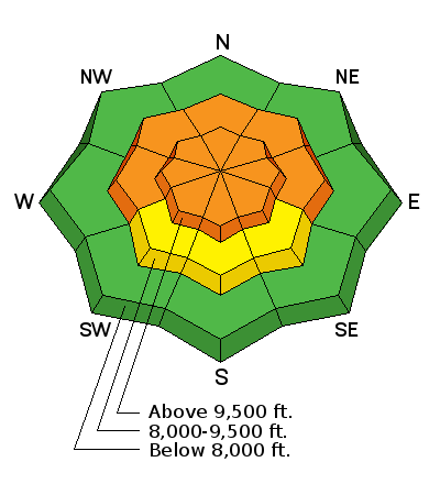
current conditions We have a somewhat unusual weather event in progress. We have rain very high in the mountains and it looks like it will continue today and possibly become heavy rain this afternoon. Overnight the rain/snow level was somewhere around 9000'. It appears a trace to an inch of heavy snow fell above that. Temperatures in the mountains were in the mid 30s overnight. It's been moderately windy from the west southwest. |
| type | aspect/elevation | characteristics |
|---|

|
|
LIKELIHOOD
 LIKELY
UNLIKELY
SIZE
 LARGE
SMALL
TREND
 INCREASING DANGER
SAME
DECREASING DANGER
|
|
description
I am very uncertain how today's rain will effect the snowpack and today's avalanche conditions. There is a chance that it will rain and nothing will happen. However, if we get 2" of rain in the highest elevations, this very well could drain through the snowpack and affect the deeply buried weak faceted snow near the ground causing large natural avalanches. What I am certain about is that rain on snow often causes avalanches. With that in mind, we need to anticipate dangerous avalanche conditions until we see otherwise. Check out this video from the Sawtooth Avalanche Center in Idaho yesterday showing what kind of damage wet slab avalanches can do. |
 |
weather It's going to be warm and wet today. The rain/snow level will rise up to around 10,000' or perhaps higher. We could see 1 to 2 inches of rain today in the mountains. Temperatures will cool off a bit tonight but unfortunately, the precipitation will taper off and it's unlikely we will get any snow accumulation. Wind will increase in speed tonight. The storm mostly clears out Sunday but it will remain fairly windy from the west. High temperatures in the mountains will be around freezing. A colder storm is on the horizon for late in the week. |
| general announcements Support the Utah Avalanche Center through your everyday shopping. DETAILS HERE We will publish full detailed advisories Saturday and Sunday mornings by 7am. We will also be publishing basic avalanche danger ratings & info during the week. If you are getting out into the mountains, we love to hear from you! You can SUBMIT OBSERVATIONS ONLINE or EMAIL US If you would like to have avalanche advisories emailed to you, SIGN UP HERE We can provide basic avalanche awareness presentations for your school, group or club. To enquire, CLICK HERE |


