| During the month of April, Mark Miller will donate $75 to the charity of your choice (5 to chose from, including the Utah Avalanche Center!) Mark Miller Subaru has raised over $300k in the previous 6 Do Good Feel Good events. More Info here |  |
| During the month of April, Mark Miller will donate $75 to the charity of your choice (5 to chose from, including the Utah Avalanche Center!) Mark Miller Subaru has raised over $300k in the previous 6 Do Good Feel Good events. More Info here | |
| Advisory: Skyline Area Mountains | Issued by Brett Kobernik for Friday - March 20, 2015 - 9:51pm |
|---|

|
bottom line The avalanche danger will rise to CONSIDERABLE as daytime heating occurs. Natural avalanche activity is possible on the more sunny steep slopes. There is still a chance a person could trigger a dangerous slab avalanche on the upper elevation more northerly terrain. USE CAUTION WHEN TRAVELING IN THE MOUNTAINS THIS WEEKEND! THIS IS NOT OUR NORMAL SPRING TIME CONDITION.
|
 |
special announcement We will be discontinuing avalanche advisories for the Manti Skyline soon. Avalanche conditions and the amount of people still out in the mountains will help us decide when we end the forecasting for the season. We will announce on Monday what to expect for the rest of the spring. |
 |
current conditions I'm going to get right to it. I don't like the current snowpack and I traveled EXTREMELY cautiously on Friday when I was out checking the snow. Snowpack tests were more stubborn than last week but still show cause for concern. Skies were clear overnight and upper elevation temperatures hovered around freezing so we should see a fairly decent re-freeze of the snow surface this morning. Wind is light from the southwest. |
 |
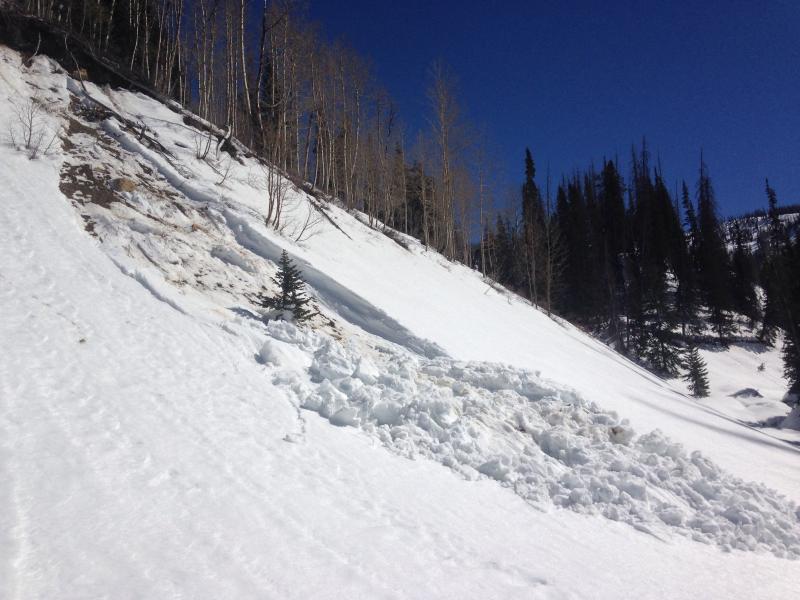
recent activity The most recent avalanche activity I saw was a wet loose avalanche that gouged through all the weak snow that formed mid season. It basically gouged to the ground. The slope was not very sustained or it would've produced a serious avalanche. Still this one is nothing you want to tangle with considering how heavy this wet spring snow is.
I did observe numerous slab avalanches that were not present the last time I was in the region two weeks ago. Many of these were snowmobile triggered. All of these that I viewed were at least 5 days old. |
| type | aspect/elevation | characteristics |
|---|

|
|
LIKELIHOOD
 LIKELY
UNLIKELY
SIZE
 LARGE
SMALL
TREND
 INCREASING DANGER
SAME
DECREASING DANGER
|
|
description
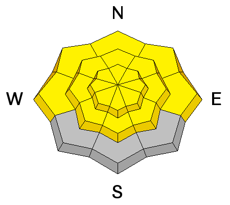
In the springtime, the danger of heat related avalanche activity always increases during the day as the snow softens from the warm temperatures. This is especially true when we have a weak and shallow snowpack like we do this season. The key is to get out of the mountains before things become too wet and "punchy". This is a catch 22 because we want to let things soften a bit so riding conditions are better. If you stay out late in the afternoon, it is imperative that you avoid being on or below all steep slopes and stay out of avalanche run-out zones and gullies. |
| type | aspect/elevation | characteristics |
|---|

|
|
LIKELIHOOD
 LIKELY
UNLIKELY
SIZE
LARGE
SMALL
TREND
 INCREASING DANGER
SAME
DECREASING DANGER
|
|
description
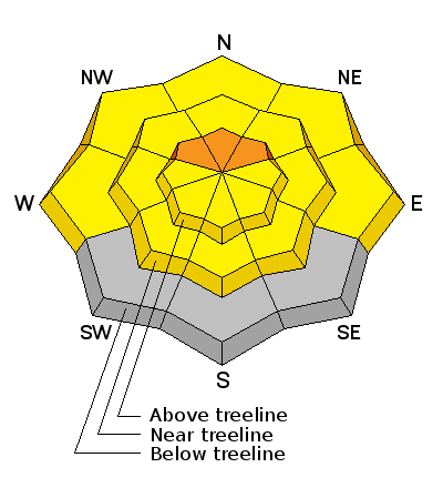
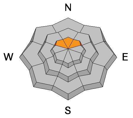
The weak snow that formed during the long dry period mid winter is still a major concern. While it is not as "hair trigger" as it was a week ago, it is still capable of producing dangerous avalanches. Sooner or later, the high northerly facing terrain where this colder weak snow is still present will heat up and we will most likely see natural avalanches on this layer again. My best guess is that it won't get warm enough on the high north slopes to do it this weekend but I'm not taking the chance. I don't like the set up and I'm staying off most of my favorite steep upper elevation north facing terrain. |
 |
weather We could see a few clouds today with ridgetop temperatures into the 40s. Southwest wind should remain fairly light. The big picture for the upcoming week is similar or slightly cooler temperatures for Sunday with more clouds and cooler through mid week as a few disturbances pass through. A minor storm Monday night and another one Tuesday night might produce a trace to a few inches of snow each. Temperatures remain fairly cool through the week then look like they get really warm next weekend. |
| general announcements Donate to your favorite non-profit –The Utah Avalanche Center. The UAC depends on contributions from users like you to support our work. Benefit the Utah Avalanche Center when you buy or sell on ebay - set the Utah Avalanche Center as a favorite non-profit in your ebay account here and click on ebay gives when you buy or sell. You can choose to have your seller fees donated to the UAC, which doesn't cost you a penny. Utah Avalanche Center mobile app - Get your advisory on your iPhone along with great navigation and rescue tools. The information in this advisory is from the US Forest Service which is solely responsible for its content. This advisory describes general avalanche conditions and local variations always occur. |


.jpg)