
| During the month of April, Mark Miller will donate $75 to the charity of your choice (5 to chose from, including the Utah Avalanche Center!) Mark Miller Subaru has raised over $300k in the previous 6 Do Good Feel Good events. More Info here |  |
| During the month of April, Mark Miller will donate $75 to the charity of your choice (5 to chose from, including the Utah Avalanche Center!) Mark Miller Subaru has raised over $300k in the previous 6 Do Good Feel Good events. More Info here | |
| Advisory: Skyline Area Mountains | Issued by Brett Kobernik for Saturday - March 8, 2014 - 7:13am |
|---|

|
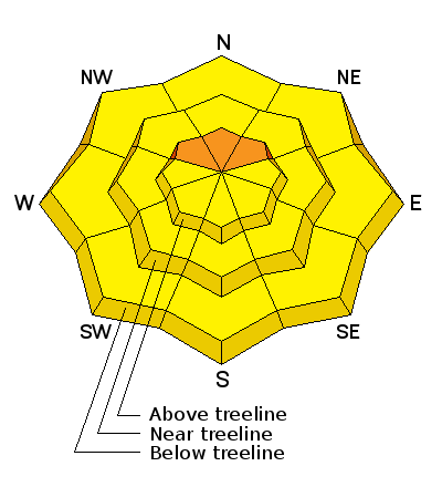
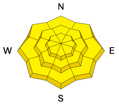
bottom line Overall, the avalanche danger is MODERATE today. The new snow will become unstable due to heating today so get off steep slopes as they start to become too damp. An isolated CONSIDERABLE danger still remains for triggering a deep slab avalanche. Keep slope angles under 35 degrees to avoid this issue.
|
 |
special announcement I am sad to report that a snowmobiler died in an avalanche in the Uintas on Friday. Our thoughts go out to his family and friends. We have very little details but will visit the sight today and compile a full report. |
 |
current conditions Overnight we had clear skies overnight with temperatures dipping into the upper teens. Winds are light and variable. A storm added about 6 inches of medium density snow Thursday night. Clouds hung around most of the day on Friday and kept the new snow from becoming too damp, especially at the mid and upper elevations. That will change today with lots of sun in store. |
| type | aspect/elevation | characteristics |
|---|

|
|
LIKELIHOOD
 LIKELY
UNLIKELY
SIZE
 LARGE
SMALL
TREND
 INCREASING DANGER
SAME
DECREASING DANGER
|
|
description
The sun heating the new snow will most likely make it unstable to the point we may see natural loose wet snow avalanches. The key to being in the mountains in the spring is to move off of slopes as they become damp. Up high, east facing is the first to heat up, then south mid morning then west later on. All aspects can heat up and become unstable at the lower elevations. Make sure you have an exit strategy planned when slopes become wet. Avoid being below steep slopes and in confined terrain such as gullies where something may funnel down from above. |
| type | aspect/elevation | characteristics |
|---|

|

|
LIKELIHOOD
 LIKELY
UNLIKELY
SIZE
 LARGE
SMALL
TREND
 INCREASING DANGER
SAME
DECREASING DANGER
|
|
description
The deep snowpack stability has improved greatly on the Skyline over the last few weeks. The old weak snow from early in the season has gained some strength especially in the deeper snowpack locations. However, there are still places where a person may be able to effect those deep weak layers and trigger a large avalanche. These would be shallow snowpack locations in very steep upper elevation terrain that face northwest through northeast. Chances for triggering one of these are low but consequences high. |
 |
weather We'll have a beautiful day in the mountains with clear skies, light north winds and ridgetop temperatures into the mid 30s. Sunday will be mostly the same with temperatures into the low 40s. It looks like we'll have some unsettled weather early next week that may bring some more snow however, most of the storm stays north of the Skyline. |
| general announcements Donate to your favorite non-profit –The Utah Avalanche Center. The UAC depends on contributions from users like you to support our work.
Benefit the Utah Avalanche Center when you buy or sell on ebay - set the Utah Avalanche Center as a favorite non-profit in your ebay account here and click on ebay gives when you buy or sell. You can choose to have your seller fees donated to the UAC, which doesn't cost you a penny.
Utah Avalanche Center mobile app - Get your advisory on your iPhone along with great navigation and rescue tools. The information in this advisory is from the US Forest Service which is solely responsible for its content. This advisory describes general avalanche conditions and local variations always occur. This advisory will be updated by 7:00 AM Saturday, March 15th, 2014 or sooner if conditions warrant. |


.jpg)