
In partnership with: Utah Division of State
Parks and Recreation, The Friends of the Utah Avalanche Center, Utah Department
of Emergency Services and Homeland Security and
AVALANCHE ADVISORY
Wednesday, December 21, 2005 7:30am
Good morning,
this is
Check out our new graphical advisory format. You can update your bookmarks to this link:
http://www.avalanche.org/~uac/newadvisory/advisory.php
We will publish both this text-based advisory as well as the new graphical
version so you can choose which one you prefer.
Let us know about any formatting problems.
For those of you old enough to remember, Sue Ferguson was the director of the
Craig Gordon will give a free avalanche class tonight at the Fire Station in
Wanship at 7pm.
The beacon locator park at Snowbird is now open and free to the public. It’s sponsored by Wasatch Backcountry Rescue
and Snowbird and located just off the bypass road in upper Little Cottonwood
Canyon.
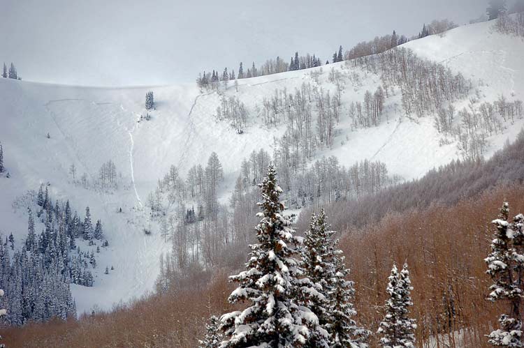
Current Conditions:
We could solve all our energy needs this winter if we could just harness all
the hot air expended on cursing the snow conditions these past couple
days. One of our most experienced observers
described it as “the most super-heinous conditions I have ever experienced.” Another person described the snow as “5-minute
epoxy.” The very warm temperatures and
wind have made the snow very up side down with a dense, stiff slab on top of
the cold, dry snow from Sunday. I wish
my stock portfolio looked like the graph of ridge top temperatures these past
three days—up, up, up. They will likely
peg out around 37 degrees today and much warmer at lower elevations. The snow conditions seem worst on the west
side of the Wasatch Range and better on the
Avalanche Conditions:
There wasn’t a lot of avalanche activity yesterday as the slab was stiff and
stubborn. As one friend of mine told me
yesterday, “They’re hard to trigger, but if you do, you will feel like Jimmy
Hoffa—encased in concrete.” One person
kicked a cornice on southeast facing ridge of Renolds
Peak in
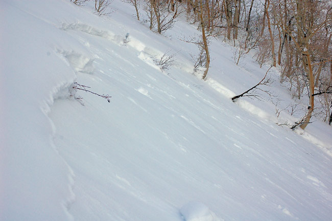
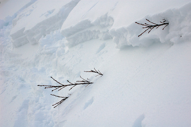
Lingering slabs still exist on upper elevation steep slopes, especially on the
buried layer of weak faceted snow on the northerly through easterly facing
slopes. These avalanches will be
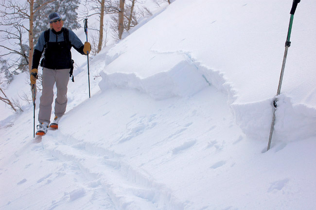
difficult to trigger, but they will be large and dangerous. They will break 1-3 feet deep and the stiff
slab above the weak layer will feel solid and stiff until the whole slope lets
go. Fractures will likely break up above
you.
Second, very warm temperatures will continue today, which will produce
localized wet sluffs and occasional wet slabs at lower elevation slopes that
are getting wet and sloppy. Be sure to
get off of and out from underneath steep slopes when they get soggy. Clues to instability include rollerballs and point-release sluffs.
Bottom
Line:
There’s a MODERATE danger today of lingering slabs on persistent layers of
faceted snow on northwest, north, northeast and east facing slopes above 8,500’
steeper than 35 degrees, especially in thin snowpack areas. There is also a MODERATE danger of wet sluffs and wet slabs at
elevations below about 8,500’ when the snow gets wet and sloppy.
Mountain Weather:
Today we have a ridge building over us and the ridge top temperatures
will spike up to a very toasty 37 degrees by mid day. Down at 8,000’ they should rise to 45
degrees. Skies should be mostly sunny
this morning, but we should have increasing clouds this afternoon. Ridge top winds will blow 15-20 from the
northwest, switching to the southwest by afternoon. We have one last shot of snow for Thursday and
Friday with cooler temperatures and 6 inches to a foot of new snow. After that, we have sunny, warm weather for
the holiday weekend through about Tuesday.
Regional
Snow Profile (this profile can also be
found daily off our home page under avalanche products)
Seasonal Weather History Charts.
Yesterday,
Wasatch Powderbird Guides didn’t get out due to weather and today, they’ll be
in
We
appreciate any backcountry snow and avalanche conditions you observe. Call (801) 524-5304 or 1-800-662-4140, email [email protected] or fax 801-524-6301. The information in this advisory is from the
U.S. Forest Service, which is solely responsible for its content. This advisory describes general avalanche conditions
and local variations always occur.
To
have this advisory automatically e-mailed to you each day, click HERE. (You must re-sign up this season even if you
were on the list last season.)
UDOT also has a highway avalanche control work
hotline for Little Cottonwood road, which is updated as needed. 801-975-4838.
The annual report for 2004-05 is now on the web.
(Click HERE,
8mb)
I will update
this advisory by 7:30 Wednesday morning.
Thanks for calling.