
In partnership with:
The
Friends of the Utah Avalanche Center Home page is: http://www.utahavalanchecenter.com
To receive automated e-mails
of this advisory click HERE.
Avalanche advisory
Thursday, March 31,
2005
Good morning, this is Brett Kobernik with the
Current Conditions:
Snowfall stopped in most mountain locations yesterday evening with the
exception of the Cottonwoods picking up another 6 inches and around 4 inches
along the Park City Ridgeline. This has
been a significant snow storm for the northern
Avalanche Conditions:
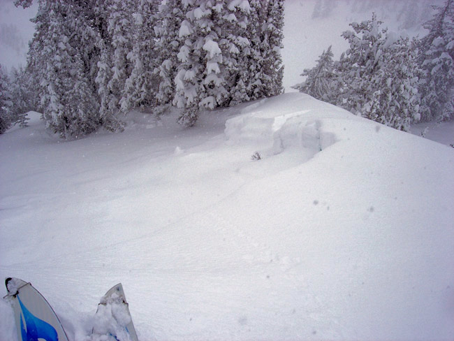
As expected with any large, windy snowfall event, there was no shortage of
avalanche activity on Wednesday. There
was a widespread natural avalanche cycle in the Cottonwoods and the Mill Creek area
that produced avalanches
of all sizes. These were ranging from 12
inches to 3 feet deep. The Little Pine
slide path in Little Cottonwood canyon pulled out naturally and covered the highway. A large natural avalanche in the mountains southeast
of
For today, it’s pretty cut and
dry. Don’t screw around on or below steep
slopes. People in the know are avoiding
all steep wind loaded terrain. This is
mainly northeast through south facing slopes but you will need to pay attention
to any cross loading on other aspects as well.
The other concern for today will be the affect of direct sun on the
fresh snow. Although temperatures at
10,000’ are not supposed to get real warm today, the direct radiation from the sun
will have a big impact on the newest snow.
East, south, and west facing slopes are highly suspect for large natural
avalanches today due to heating. Also,
keep an eye on what is happening at lower elevations even on north aspects as
these places will be warming as well.
Stay well clear of run out zones as avalanches have the potential to run
quite far.
Bottom Line (
The
avalanche danger is CONSIDERABLE on
any steep slope that has recent deposits of wind drifted snow. CONSIDERABLE
means natural avalanches are possible and human triggered avalanches are
probable. People will most likely be able
to trigger avalanches on steep slopes with fresh wind slabs and natural avalanches
are most likely to slide due to warming on steep slopes facing the sun. This means slopes of 35 degrees and
steeper. If you don’t have excellent
avalanche hazard evaluation skills, it probably is not the best day for you to
go into the backcountry.
Danger Scale: http://www.avalanche.org/~uac/ed-scale.htm
Mountain Weather: (You can find the afternoon
Weather Update here.)
Today we will see partly cloudy skies and ridgetop temperatures in the low 20s. There will be enough sun to affect the snow
so again stay off of and out from underneath any slopes that will be receiving the
sun. Winds will become light and
variable by around noon. Clear skies and
warmer temperatures are in store for Friday so we will again need to pay
attention to wet avalanche activity.
A
quick moving but energetic storm is still on track for Monday with a spring
like ridge building in after.
Yesterday,
Powderbird guides did not fly, and today they will be in Mineral,
If you are getting out, we appreciate
your snowpack and avalanche observations.
Please call and leave a message at 524-5304 or 1-800-662-4140, or e-mail
us at [email protected]. Fax is 524-6301.
The information in this
advisory is from the U.S. Forest Service, which is solely responsible for its
content. This advisory describes general avalanche conditions and local
variations always occur.
Drew Hardesty will update this
advisory by 7:30 on Friday morning.
Thanks for calling.