
| During the month of April, Mark Miller will donate $75 to the charity of your choice (5 to chose from, including the Utah Avalanche Center!) Mark Miller Subaru has raised over $300k in the previous 6 Do Good Feel Good events. More Info here |  |
| During the month of April, Mark Miller will donate $75 to the charity of your choice (5 to chose from, including the Utah Avalanche Center!) Mark Miller Subaru has raised over $300k in the previous 6 Do Good Feel Good events. More Info here | |
| Advisory: Provo Area Mountains | Issued by Brett Kobernik for Wednesday - November 20, 2013 - 7:28am |
|---|

|
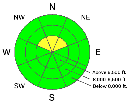
bottom line A "pockety" MODERATE avalanche danger remains in the high northerly wind effected terrain. Human triggered avalanches are still possible if you are persistent in monkeying around with this buried persistent weak layer.
|
 |
current conditions Mild temperatures, light winds and a trace to a couple of inches of snow was the story from yesterday. Temperatures remained fairly steady overnight with only a slight cooling trend with readings in the mid to upper 20s. Winds remain fairly light from the southwest. Thin snow cover doesn't allow for much winter recreation at this time. |
 |
recent activity There was no new avalanche activity reported on Tuesday. |
| type | aspect/elevation | characteristics |
|---|

|

|
LIKELIHOOD
 LIKELY
UNLIKELY
SIZE
 LARGE
SMALL
TREND
 INCREASING DANGER
SAME
DECREASING DANGER
|
|
description
Mild temperatures contributed to a significant amount of snow settlement which helps to calm down the sensitivity of the persistent weak layers that were active over the weekend. Lack of winds and not much new snow anticipated for today won't increase the danger of this avalanche problem. However, don't disregard it as there are probably still places in the higher northerly terrain that has been wind effected where you could still trigger a pocket. We will continue to follow the buried weak layers intently as to see if they will continue to cause avalanches with future snow storms. In a video HERE one of our observers and educators, Trent, talks about the current snowpack stratigraphy and has some excellent points about persistent weak layers as well as initiation and propagation of avalanches. |
 |
weather For today we'll have increasing clouds with snow showers most likely later this afternoon with a few inches accumulation possible. Temperatures remain fairly mild and winds fairly light. A cold front will move through tonight which should bring more snow accumulations into Thursday morning. A total of 3 to 6 inches by mid day Thursday might be possible. The closed low pressure system is still scheduled to track to our south Thursday through Saturday. It looks like this will pull northeast winds through our area which could become annoying later on Thursday and into Friday. The closed low looks to stay well to our south but may push a little moisture north into our area later in the weekend. |
| general announcements If you trigger an avalanche in the backcountry - especially if you are adjacent to a ski area – please call the following teams to alert them to the slide and whether anyone is missing or not. Rescue teams can be exposed to significant hazard when responding to avalanches, and do not want to do so when unneeded. Thanks. Salt Lake and Park City – Alta Central (801-742-2033), Canyons Resort Dispatch (435-615-3322) Twitter Updates for your mobile phone - DETAILS UDOT canyon closures UDOT at (801) 975-4838 Get your advisory on your iPhone with the Utah Avalanche Center mobile app, along with great navigation and rescue tools. Remember your information can save lives. If you see anything we should know about, please participate in the creation of our own community avalanche advisory by submitting snow and avalanche conditions. You can also call us at 801-524-5304 or 800-662-4140, email by clicking HERE, or include #utavy in your tweet or Instagram. |


_3.jpg)