25th Annual Black Diamond Fall Fundraising Party
Thursday, September 13; 6:00-10:00 PM; Black Diamond Parking Lot

25th Annual Black Diamond Fall Fundraising Party
Thursday, September 13; 6:00-10:00 PM; Black Diamond Parking Lot
| Advisory: Moab Area Mountains | Issued by Eric Trenbeath for Tuesday - January 23, 2018 - 6:53am |
|---|
 |
special announcement Episode 3 of the UAC podcast is live. We talk with UDOT Avalanche Program Supervisor Bill Nalli on how he and his teams keep the Greatest Snow on Earth from avalanching over the open roads and highways of the state. Check it out on ITunes, Stitcher, the UAC blog, or wherever you get your podcasts. Spend some time improving your rescue skills or learning about avalanches in these two, upcoming Moab area classes:
The UAC Marketplace is online. The holiday auction is closed, but our online marketplace still has deals on skis, packs, airbag packs, beacons, snowshoes, soft goods and much more. |
 |
current conditions The mountains picked up 15" of snow from the Sunday storm but coverage is still very thin. Backcountry travelers need to be cautious of buried obstacles such as rocks and downed trees beneath the recent blanket of fresh snow. Base depth is 24" at the Geyser Pass Trailhead. Travelers on Sunday reported deep powder snow and widespread collapsing of the snowpack, a sure sign of dangerous avalanche conditions. See details in these observations submitted by Tim Mathews and Brian Murdock. New snow totals in Gold Basin. Snow totals at the Geyser Pass Trailhead, (9600') Wind, temperature, and humidity on Pre Laurel Peak (11,700') Road conditions to Geyser Pass Trailhead: Road is plowed and snowpacked. Grooming conditions: Road into Gold Basin is groomed and set with classic track.
|
| type | aspect/elevation | characteristics |
|---|


|


|

LIKELIHOOD
 LIKELY
UNLIKELY
SIZE
 LARGE
SMALL
TREND
 INCREASING DANGER
SAME
DECREASING DANGER
|
|
description
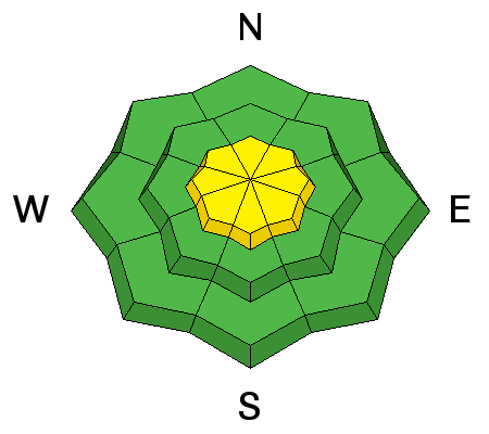
Backcountry travelers yesterday reported widespread collapsing, whoomphing and cracking in the snowpack - all red flag signs of instabity. Loose, sugary, faceted snow on the ground is providing an unstable base for the recent snow load and dangerous persistent slab conditions exist. Backcountry travelers should avoid terrain steeper than about 30 degrees on W-N-SE facing aspects. For good insite into the present instabilty, check out this observation from Tim Mathews and Dave Garcia with a video of a reactive extended column test. Cracking such as this is a sure sign of instability. Photo submitted by Tim Mathews. |
| type | aspect/elevation | characteristics |
|---|


|


|

LIKELIHOOD
 LIKELY
UNLIKELY
SIZE
 LARGE
SMALL
TREND
 INCREASING DANGER
SAME
DECREASING DANGER
|
|
description
Moderate northwesterly winds were steady on Sunday and Monday, and with plenty of low density snow available for transport, I expect there are some lingering wind slabs lying around in upper elevation wind exposed terrain. Be on the lookout for recent deposits of wind drifted snow recognized by their smooth, rounded appearance. A triggered wind slab also has the potential for stepping down into a buried weak layer causing a deeper, and more dangerous persistent slab avalanche. |
 |
weather
|
| general announcements The UAC has new support programs with Outdoor Research and Darn Tough. Support the UAC through your daily shopping. When you shop at Smith's, or online at Outdoor Research, REI, Backcountry.com, Darn Tough, Patagonia, NRS, Amazon, eBay a portion of your purchase will be donated to the FUAC. See our Donate Page for more details on how you can support the UAC when you shop. Benefit the Utah Avalanche Center when you buy or sell on eBay - set the Utah Avalanche Center as a favorite non-profit in your eBay account here and click on eBay gives when you buy or sell. You can choose to have your seller fees donated to the UAC, which doesn't cost you a penny This information does not apply to developed ski areas or highways where avalanche control is normally done. This advisory is from the U.S.D.A. Forest Service, which is solely responsible for its content. This advisory describes general avalanche conditions and local variations always occur. |