
| During the month of April, Mark Miller will donate $75 to the charity of your choice (5 to chose from, including the Utah Avalanche Center!) Mark Miller Subaru has raised over $300k in the previous 6 Do Good Feel Good events. More Info here |  |
| During the month of April, Mark Miller will donate $75 to the charity of your choice (5 to chose from, including the Utah Avalanche Center!) Mark Miller Subaru has raised over $300k in the previous 6 Do Good Feel Good events. More Info here | |
| Advisory: Moab Area Mountains | Issued by Eric Trenbeath for Friday - March 13, 2015 - 7:04am |
|---|

|
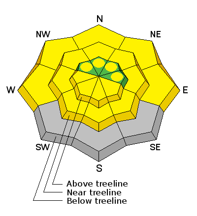
bottom line The avalanche danger is generally LOW this morning but will rise to MODERATE as day time heating causes the danger for wet slide activity to rise on all aspects. There also still remains an isolated danger for triggering a dry persistent slab. Though "pockety" in nature, this danger may exist on steep, rocky terrain, right around tree line and above on slopes that have a NW-N-E aspect.
|
 |
current conditions La Sal Mountains NE winds picked up last night blowing in the 25-35 mph range on Pre Laurel Peak. This may have put the hurt on what has been an incredible run of undisturbed, re-crystallized powder conditions in the high alpine. You may have to seek more sheltered terrain for similar snow conditions today. Overnight lows in the low 20's have put a solid refreeze on the snowpack, and icy crusts will abound on sun exposed aspects this morning. Expect things to get sloppy by mid-day. . La Sal Mountains Current Weather Wind speeds and temperature at 11,700' on Pre-Laurel Peak. New snow totals and temperature at Geyser Pass Trailhead. New snow totals and temperature in Gold Basin. Abajo / Blue Mountains Mixed bag conditions and overall low coverage remain the order in the Abajos. Northerly aspects at upper elevations have as much as 4' of snow, while wind and sun exposed slopes are still showing rocks and grass. Abajo / Blue Mountains Current Weather Winds and temperature on Abajo Peak. Snow total at Buckboard Flat.
|
 |
recent activity
|
| type | aspect/elevation | characteristics |
|---|

|

|
LIKELIHOOD
 LIKELY
UNLIKELY
SIZE
 LARGE
SMALL
TREND
 INCREASING DANGER
SAME
DECREASING DANGER
|
|
description
Today the danger for wet slide activity will rise on all aspects as the day heats up. Even lower to mid elevation northerly aspects will be subject as warmer temperatures turn the un-consolidated snow into a sloppy mess. Timing is everything this time of year. Stay off of and out from under steep slopes if you notice the snow getting sloppy or see signs of instability such as pinwheels, roller balls, or loose snow sluffs.
|
| type | aspect/elevation | characteristics |
|---|

|

|
LIKELIHOOD
 LIKELY
UNLIKELY
SIZE
LARGE
SMALL
TREND
 INCREASING DANGER
SAME
DECREASING DANGER
|
|
description
The danger for triggering a persistent slab has greatly diminished, and people have been pushing into much larger terrain than is typical for the La Sals without incident. The danger now is very isolated and "pockety" but it does still exist in areas of steep, rocky terrain right around tree line or just above on slopes with a NW-N-E aspect. |
 |
weather Skies should clear out today with a few lingering clouds over the mountains. High temps at 10,000' will be in the mid 30's with ENE blowing at 15-20 mph along ridge tops. High pressure is rebuilding with increasingly warmer temperatures over the weekend. |
| general announcements Observations: If you are out and about, I would love to know what you are seeing. Please post your observations here. EMAIL ADVISORY If you would like to get the daily advisory by email you will need to subscribe here. Benefit the Utah Avalanche Center when you shop from Backcountry.com or REI: Click this link for Backcountry.com or this link to REI, shop, and they will donate a percent of your purchase price to the UAC. Both offer free shipping (with some conditions) so this costs you nothing! Benefit the Utah Avalanche Center when you buy or sell on ebay - set the Utah Avalanche Center as a favorite non-profit in your ebay account here and click on ebay gives when you buy or sell. You can choose to have your seller fees donated to the UAC, which doesn't cost you a penny. This advisory is from the U.S.D.A. Forest Service, which is solely responsible for its content. This advisory describes general avalanche conditions and local variations always exist. |


_2.jpg)