
| During the month of April, Mark Miller will donate $75 to the charity of your choice (5 to chose from, including the Utah Avalanche Center!) Mark Miller Subaru has raised over $300k in the previous 6 Do Good Feel Good events. More Info here |  |
| During the month of April, Mark Miller will donate $75 to the charity of your choice (5 to chose from, including the Utah Avalanche Center!) Mark Miller Subaru has raised over $300k in the previous 6 Do Good Feel Good events. More Info here | |
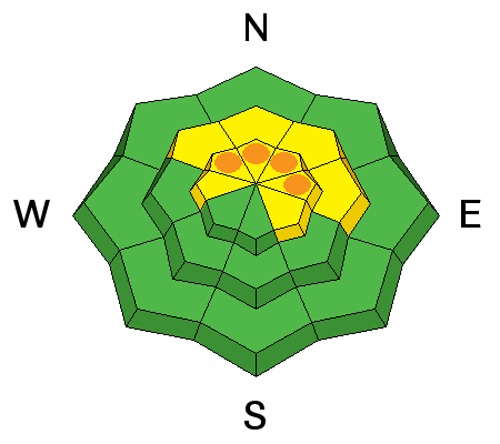
| Advisory: Moab Area Mountains | Issued by Eric Trenbeath for Sunday - December 28, 2014 - 6:52am |
|---|


|
bottom line Overall, there is a MODERATE danger for triggering a persistent slab avalanche on upper mid to upper elevation terrain steeper than 35 degrees on slopes that have a NW-N-E aspect. Isolated areas of CONSIDERABLE danger remain in more extreme terrain at upper elevations on slopes with these same aspects.
|
 |
current conditions With the perfect combination of sunshine, powder, and virtually no wind, yesterday was about as good as it gets in the La Sal Mountains.Minus the sunshine, conditions will continue to be excellent today with up to a foot of settled, light density powder remaining on all aspects. It is still an early season snowpack however, and there are still rocks, stumps, and dead fall lurking beneath the surface. Winds since Christmas night have been almost non-existent. Yesterday they registered 0 mph with gusts of 1 for most of the day. About 6:00 p.m. they picked up to 10 mph from the NW with gusts to 20, and they are currently blowing in that range. It is 17 degrees on Pre Laurel Peak and 15 at the Geyser Pass Trailhead. Total depth in Gold Basin is 39" and at Geyser Pass Trailhead the base is 26". Mountain weather conditions at 11,700' on Pre-Laurel Peak. Snow totals at Geyser Pass Trailhead. New snow totals in Gold Basin. |
| type | aspect/elevation | characteristics |
|---|

|
|
LIKELIHOOD
 LIKELY
UNLIKELY
SIZE
 LARGE
SMALL
TREND
 INCREASING DANGER
SAME
DECREASING DANGER
|
|
description
We have been adding straw to the proverbial camel's back so to speak, with each storm adding more stress to buried weak layers in the snow pack. November snows are turning into facets, or weak sugary snow at the ground level, and there is also a layer of weak facets associated with a crust mid pack. The danger now comes with the added weight of a skier or rider triggering a slide on one of these buried weak layers. This danger is most prevalent at upper-mid to upper elevations on slopes steeper than 35 degrees that have a NW-N-E aspect. |
 |
weather A cloudy, unsettled week is ahead of us. The first in a series of Pacific storms on NW flow will begin to affect our area later today and into Monday. These systems currently look to be tracking to the north but we could see an inch or two tonight and another 2"-4" on Monday. Daytime highs at 10,000' will be in the high teens and winds will be westerly in the 10-15 mph range with gusts as high as 25 along ridge tops. Unsettled weather remains through the week, with the next best shot at snow coming in on Thursday. |
| general announcements
Grooming Conditions: Trails have not been grroomed since before the Christmas storm. Observations: If you are out and about, I would love to know what you are seeing. Please post your observations here. EMAIL ADVISORY If you would like to get the daily advisory by email you will need to subscribe here. Benefit the Utah Avalanche Center when you shop from Backcountry.com or REI: Click this link for Backcountry.com or this link to REI, shop, and they will donate a percent of your purchase price to the UAC. Both offer free shipping (with some conditions) so this costs you nothing! Benefit the Utah Avalanche Center when you buy or sell on ebay - set the Utah Avalanche Center as a favorite non-profit in your ebay account here and click on ebay gives when you buy or sell. You can choose to have your seller fees donated to the UAC, which doesn't cost you a penny. This advisory is from the U.S.D.A. Forest Service, which is solely responsible for its content. This advisory describes general avalanche conditions and local variations always exist. |


_2.jpg)