
| During the month of April, Mark Miller will donate $75 to the charity of your choice (5 to chose from, including the Utah Avalanche Center!) Mark Miller Subaru has raised over $300k in the previous 6 Do Good Feel Good events. More Info here |  |
| During the month of April, Mark Miller will donate $75 to the charity of your choice (5 to chose from, including the Utah Avalanche Center!) Mark Miller Subaru has raised over $300k in the previous 6 Do Good Feel Good events. More Info here | |
| Advisory: Moab Area Mountains | Issued by Eric Trenbeath for Wednesday - December 17, 2014 - 6:46am |
|---|

|
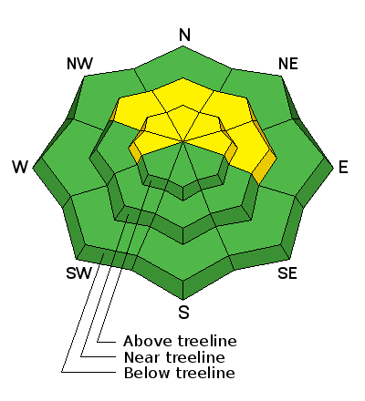
bottom line The avalanche danger is MODERATE today for triggering a recently buried persistent slab on upper elevation terrain steeper than 35 degrees on slopes with a NW-N-E aspect.
|
 |
current conditions The mountains only picked up 3-4" of new snow from the Wednesday-Thursday event, but combined with totals of up to 16" from last weekend, conditions have improved remarkably. Winds have also been relatively behaved this week, and snow surface conditions are mostly powder. Keep in mind however, that the snowpack is still quite shallow, and there are many objects lurking just below the surface that could ruin the rest of your season. There is 22" of snow at the Geyser Pass Trailhead, and 32" in Gold Basin. NW winds have been mostly light overnight, barely gusting into the teens, and are currently in the single digits. The temperature on Pre Laurel is a frigid 7 degrees, and it is 18 at the trailhead. Mountain weather conditions at 11,700' on Pre-Laurel Peak. Snow totals at Geyser Pass Trailhead. |
| type | aspect/elevation | characteristics |
|---|

|

|
LIKELIHOOD
 LIKELY
UNLIKELY
SIZE
 LARGE
SMALL
TREND
 INCREASING DANGER
SAME
DECREASING DANGER
|
|
description
The snow that fell over the past week has largely settled into place, and we are now back to concerns over the ever present persistent slab. November snow is turning to facets, or weak sugary snow, and we are now starting to get a load on top. In some cases, old stiff slabs overly these facets, and they are now covered by anywhere from 1-2' of new snow. There is also a very weak layer of mid pack faceting associated with a crust. The concern now is triggering a slide on one off these buries weaknesses. You are most likely to encounter this problem on slopes steeper then 35 degrees on upper elevation slopes with a NW-N-E aspect.
Weak, faceted grains at the bottom of the pack. |
 |
weather Today should be a beautiful day in the mountains. A moist, NW flow will move into the area by Saturday keeping us under mostly cloudy skies with a chance of snow over the weekend. A weak high pressure ridge will build for the first part of the week, with what looks like another system arriving just in time for Christmas. Today: Areas of fog before 9am. Otherwise, mostly sunny, with a high near 26. West northwest wind around 5 mph. |
| general announcements The road to the Geyser Pass Trailhead was plowed again yesterday morning. Matt and Jesse took the roller out and packed in the grooming track on the lower mountain, into Gold Basin, and up to Geyser Pass on Monday. The mountain won't be groomed again for the weekend as the roller needs to be brought down for repairs. I will update this advisory again on Sunday morning, or sooner if conditions warrant.
|


_2.jpg)


