
| During the month of April, Mark Miller will donate $75 to the charity of your choice (5 to chose from, including the Utah Avalanche Center!) Mark Miller Subaru has raised over $300k in the previous 6 Do Good Feel Good events. More Info here |  |
| During the month of April, Mark Miller will donate $75 to the charity of your choice (5 to chose from, including the Utah Avalanche Center!) Mark Miller Subaru has raised over $300k in the previous 6 Do Good Feel Good events. More Info here | |
| Advisory: Moab Area Mountains | Issued by Eric Trenbeath for Friday - March 28, 2014 - 7:00am |
|---|


|
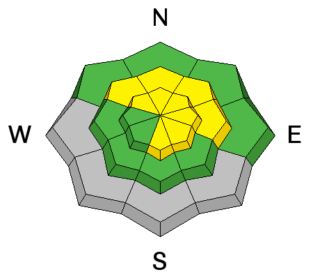
bottom line The Avalanche danger is MODERATE today. You will need to be aware of two distinct dangers: 1) recent deposits of wind drifted snow, primarily on steep slopes at upper elevations, and 2) wet slide activity on sun exposed slopes as the day heats up.
|
 |
current conditions La Sal Mountains The La Sals picked up 4" of medium density snow on Wednesday night. It fell with virtually no wind, and it is truly amazing what a few inches can do to freshen up things. Yesterday, I found good dust on crust conditions on south aspects, and powder over a mostly soft, supportable base on northerly aspects. The sun stayed mostly hidden yesterday, and temperatures remained cool, so conditions on sun exposed aspects should still be good this morning. WSW ridge top winds picked up around noon, averaging in the teens with gusts as high as 30. They shifted to the NW around midnight last night, and are currently averaging about 20 mph. It is 13 degrees at 10,000'. Winds and temperature on Pre-Laurel Peak (11,705') Temperature and new snow totals in Gold Basin (10,050') Total snow depth and temperature near Geyser Pass Trailhead (9850') Abajo Mountains We are through issuing information on conditions in the Abajo Mountains. You can get current weather and snow pack data on the links below. Winds and temperature on Abajo Peak. Snow totals at Camp Jackson (8968') |
| type | aspect/elevation | characteristics |
|---|

|
|
LIKELIHOOD
 LIKELY
UNLIKELY
SIZE
 LARGE
SMALL
TREND
 INCREASING DANGER
SAME
DECREASING DANGER
|
|
description
Ridge top winds yesterday were moving snow around, and I observed new wind slab development, primarily on the lee sides of upper elevation ridge crests, that were up to a foot deep. These slabs quickly tapered off down slope, but if you kicked one off in steep, or extreme terrain, they could knock you off your feet and take you for a ride. With winds forecasted to be on the increase on Saturday, this danger will become more widespread. |
| type | aspect/elevation | characteristics |
|---|

|

|
LIKELIHOOD
LIKELY
UNLIKELY
SIZE
LARGE
SMALL
TREND
INCREASING DANGER
SAME
DECREASING DANGER
|
|
description
With mostly sunny skies, and high temperatures of near 40 degrees, loose wet sluffs within the new snow will be active today. By Saturday, temperatures are expected to be near 50 degrees. Be aware to signs of instability on sun exposed slopes such as roller balls, and pin wheels, and stay off of and out from under steep slopes when the snow starts to get sloppy. |
 |
weather Today will be a beautiful day in the mountains with high temperatures at 10,000' to be near 40 degrees. Saturday looks to be even warmer with high temperatures near 50. SW winds will be on the increase Saturday ahead of the next Pacific Storm System that doesn't look to prromising for our area. |
| general announcements OBSERVATIONS: If you are out and about in the mountains, I'd love to know what you are seeing so please SUBMIT OBSERVATIONS You can read current OBSERVATIONS HERE. ROAD CONDITIONS: The road is passable but a bit rugged. The lower part is dry, and then it alternates between patches of dry ground, snow ruts, and packed snow and ice that gets sloppy late in the day. UAC MOBILE APP: Get your advisory on your iphone with this app
|


_2.jpg)
