25th Annual Black Diamond Fall Fundraising Party
Thursday, September 13; 6:00-10:00 PM; Black Diamond Parking Lot
25th Annual Black Diamond Fall Fundraising Party
Thursday, September 13; 6:00-10:00 PM; Black Diamond Parking Lot
| Advisory: Abajo Area Mountains | Issued by Eric Trenbeath for Thursday - March 22, 2018 - 7:15am |
|---|

|
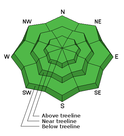
bottom line The avalanche danger is generally LOW but low danger doesn't mean no danger and here are a few points to keep in mind. -Ride slopes one at a time and stay out from underneath run out zones when someone else is on the slope. -Suspect steep, wind drifted slopes that have a smooth rounded appearance or that have a hollow sound or feel to them -Suspect areas of steep, rocky, or radical terrain right around treeline and above that faces NW-N-E where it still may be possible to trigger an avalanche 2-3' deep on weak, sugary, faceted snow near the ground. --With warm temperatures, the lack of a solid overnight refreeze, and the threat of rain on snow, there is also the danger for loose wet avalanches. Signs of instability include roller balls, pinwheels, and sloppy wet snow. Get off of and out from under steep slopes when these signs are present. Expect a rising avalanche danger over the next 24 hours.
|
 |
special announcement Episode 7 of the UAC Podcast "Mastery and False Mastery - An Interview with 'Big' Don Sharaf" is live. With a snow career spanning over 30 years, Don has enough mileage in the mountains to have learned a thing or two, including the profound value of humility when staring into the face of the dragon. Listen in on our conversation about the idea of mastery and if such a thing can exist in the avalanche world. Check it out on the UAC blog, ITunes, Stitcher, or wherever you get your podcasts. The UAC Marketplace is still open. Our online marketplace still has deals on skis, packs, airbag packs, beacons, snowshoes, soft goods and much more. INSTAGRAM! We now have a UAC-Moab Instagram page. You can find it here....but better yet follow us on your smartphone. Confused? Ask a teenager. |
 |
current conditions Clouds are moving in over the area, southerly winds are averaging 15-20 mph, and it's a very warm 40 degrees at Buckboard Flat. The snowpack is struggling to hang in there with an average depth of 2-3' deep on shady aspects. Most surfaces are wind and sun affected and southerly slopes are near melted out to the ground. Wind, temperature and humidity on Abajo Peak (11,000') Snow totals at Buckboard Flat (8924') Snow totals at Camp Jackson (8858') |
 |
recent activity |
 |
weather A warm, wet, and windy "atmospheric river" is moving into our area later today bringing rain and snow tonight and snow tomorrow. The system is complex and unpredictable but it looks like we could see up to .5" of water 4-8" of snow. Today look for increasing southerly winds in the 25-35 mph range and very warm temperatures. High's at 10,000' will be in the low 40's.
|
| general announcements The UAC has new support programs with Outdoor Research and Darn Tough. Support the UAC through your daily shopping. When you shop at Smith's, or online at Outdoor Research, REI, Backcountry.com, Darn Tough, Patagonia, NRS, Amazon, eBay a portion of your purchase will be donated to the FUAC. See our Donate Page for more details on how you can support the UAC when you shop. Benefit the Utah Avalanche Center when you buy or sell on eBay - set the Utah Avalanche Center as a favorite non-profit in your eBay account here and click on eBay gives when you buy or sell. You can choose to have your seller fees donated to the UAC, which doesn't cost you a penny This information does not apply to developed ski areas or highways where avalanche control is normally done. This advisory is from the U.S.D.A. Forest Service, which is solely responsible for its content. This advisory describes general avalanche conditions and local variations always occur. |