25th Annual Black Diamond Fall Fundraising Party
Thursday, September 13; 6:00-10:00 PM; Black Diamond Parking Lot
25th Annual Black Diamond Fall Fundraising Party
Thursday, September 13; 6:00-10:00 PM; Black Diamond Parking Lot
| Advisory: Abajo Area Mountains | Issued by Eric Trenbeath for Friday - January 13, 2017 - 6:55am |
|---|

|
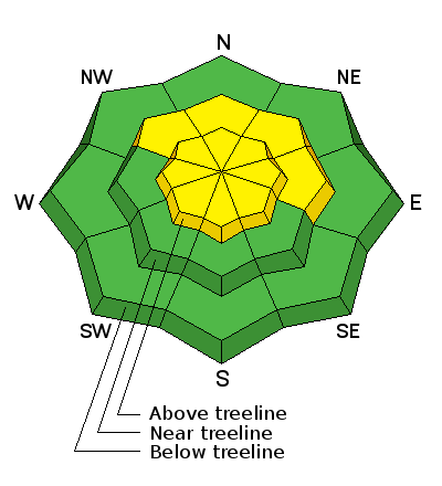
bottom line The avalanche danger is MODERATE today on steep, upper elevation slopes that have recent deposits of wind drifted snow. The danger could rise to CONSIDERABLE by tomorrow with the addition of new snow. Be alert to changing conditions and increasing signs of instability such as cracking in the snow surface. Watch for fresh drifting on the lee sides of ridge crests and terrain features, and avoid steep slopes with recent deposits of wind drifted snow. Out of the wind zone at mid and lower elevations the danger is mostly LOW.
|
 |
special announcement The Abajo/Blue Mountain avalanche advisory will provide detailed information on the weekends. During the week, general information and a danager rating will be posted. |
 |
current conditions Camp Jackson is reporting 4" of new snow which likely translates to 6" or more up high. Southwest winds in the 20-40 mph range have been transporting snow all week, alternately scouring exposed windward slopes, and drifting on to leeward ones where snow is beginning to pile up. For real time weather data click on the links below: Winds, temperature and humidity on Abajo Peak. Snow totals at Camp Jackson. |
 |
weather Today Snow showers likely, mainly after 9am. Patchy blowing snow before 9am. Patchy fog between 2pm and 3pm. Otherwise, cloudy, with a high near 29. South wind around 15 mph, with gusts as high as 25 mph. Chance of precipitation is 60%. Total daytime snow accumulation of 2 to 4 inches possible. Tonight Snow showers likely before 11pm, then snow likely, mainly after 2am. Patchy fog after 4am. Otherwise, cloudy, with a low around 25. South wind around 10 mph, with gusts as high as 20 mph. Chance of precipitation is 60%. New snow accumulation of 3 to 5 inches possible. Saturday Snow likely. Patchy fog before noon. Otherwise, cloudy, with a high near 31. South southeast wind 10 to 15 mph. Chance of precipitation is 70%. New snow accumulation of 5 to 9 inches possible. Saturday Night Snow likely. Cloudy, with a low around 26. South southeast wind around 15 mph. Chance of precipitation is 70%. New snow accumulation of 3 to 7 inches possible. Sunday A 50 percent chance of snow. Mostly cloudy, with a high near 30. Blustery, with a north wind 15 to 20 mph. |


