25th Annual Black Diamond Fall Fundraising Party
Thursday, September 13; 6:00-10:00 PM; Black Diamond Parking Lot
25th Annual Black Diamond Fall Fundraising Party
Thursday, September 13; 6:00-10:00 PM; Black Diamond Parking Lot
| Advisory: Abajo Area Mountains | Issued by Eric Trenbeath for Wednesday - December 21, 2016 - 6:58am |
|---|


|
bottom line Due to low snow coverage, the avalanche danger is mostly LOW in the Abajos but isolated areas of MODERATE danger exist on slopes in extreme, upper elevation terrain that has a N-NE-E aspect.
|
 |
special announcement |
 |
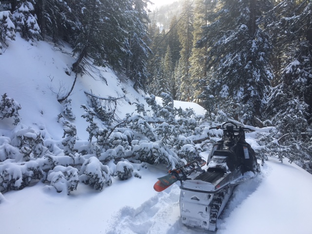
current conditions Winter has finally made an appearance in the Abajo/Blue Mountains with up to a foot of new snow falling on December 16 at the upper elevations. But It's still pretty thin coverage with a lot of grass and bushes poking out, even up high. Less than a foot of snow total exists on the ground at the Dalton Springs Trailhead, and by large, travel off the road is still not advisable. Strong winds also impacted the area during the storm, and numerous trees are down across the road up to North Creek Pass.
After making it around and over numerous down trees in the North Creek Road, this finally shut me down.
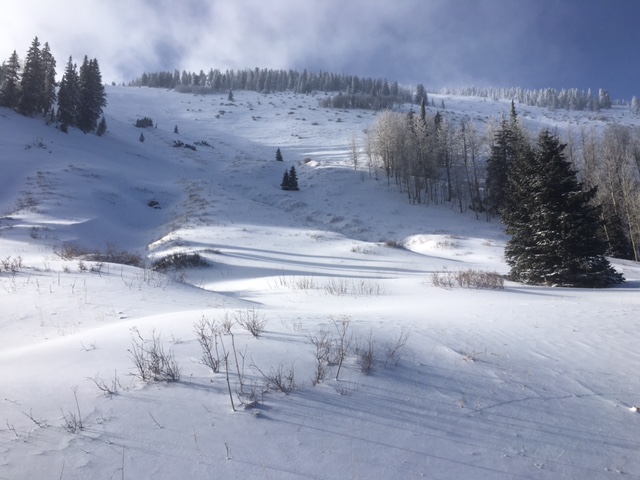
Still pretty thin up there.
But that didn't stop Todd and Randy from going for it! |
 |
weather Wednesday Mostly sunny, with a high near 32. West wind around 10 mph. Wednesday Night A 30 percent chance of snow after 11pm. Partly cloudy, with a low around 20. Southwest wind 10 to 15 mph. Thursday A 50 percent chance of snow. Partly sunny, with a high near 31. West southwest wind 10 to 15 mph. New snow accumulation of 3 to 7 inches possible. Thursday Night A 50 percent chance of snow. Mostly cloudy, with a low around 22. West southwest wind 10 to 15 mph. Friday A 30 percent chance of snow. Partly sunny, with a high near 31. |