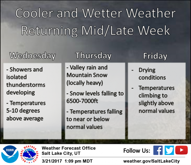
Under a blanket of clouds, temperatures are in the low to mid 30's, though a few hot spots (like Strawberry Divide... below) report overnight lows in the 40's. Southwest winds have ramped up somewhat and are blowing 25-45 mph along the high ridges. Riding and turning conditions are slightly underwhelming and our snowpack has taken a bit of a hit. In the past week we've lost about a foot of snow depth. Cloud cover, warm overnight temperatures, and wind will most likely inhibit today's corn harvest. But wait... there's more! There's a change in the pattern slated for later today through the weekend and winter returns from its hiatus. In the meantime, it's probably a good day to take off and get your taxes done :)
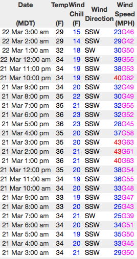
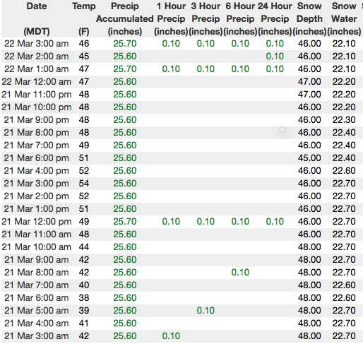
Above... 24 hour data from Windy Peak (10,600') and the Strawberry Divide snotel site (8,123') reflecting about half the snow of the North Slope as well as a marginal overnight refreeze.
Real time wind, snow, and temperatures for the Uinta's are found here
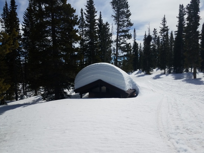
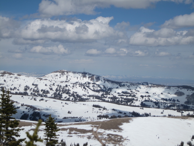
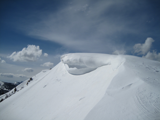
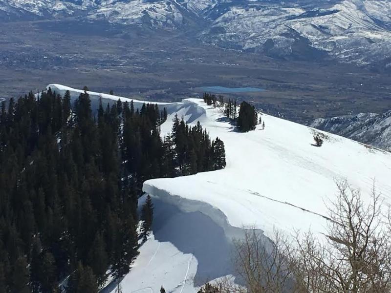
North facing terrain is holding steady, but even with a deep snowpack, some of our sunny slopes are starting to shed their winter coats.
Snowpack observations and trip reports are found here.
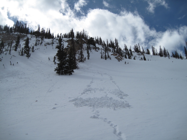
No significant avalanche activity to report from yesterday.
A full list of Uinta avalanche activity is found here.