Nowcast- A small blip on the radar moved in overnight and out early this morning, leaving a trace of snow on the storm boards. Skies are covered this morning and paired with warm air, nearing 30°F at 9,000'. Winds blowing from the west averaged 15 MPH with gusts into the 40s on upper-elevation peaks and ridgelines.
Forecast- As the day rolls on, expect skies to become partly cloudy around mid-morning, and things to feel warmer than normal with temperatures hovering in the 20s and 30s (°F). Winds blowing predominantly from the west continue averaging 15 MPH at upper elevations, with gusts into the 30s.
Futurecast - The train is slowing, and confidence in the mid-week system is shrinking. Unfortunately, it looks to be followed by a strong ridge of high pressure and warmer temperatures, above average, over the next few weeks.
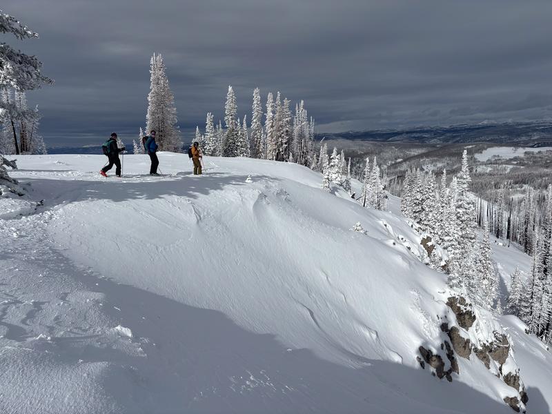
Travel Conditions - Snow depths across the range average 1-3 feet, the deepest near the North Slope and Mirror Lake Corridor. It's a mixed bag of snow quality and conditions, but we finally have enough coverage to get out and travel. Roadside attractions are finally starting to come into play with the best riding existing on lower-angle, upper elevation, wind-sheltered terrain. The pack is still extremely thin, and getting jammed up by stumps, rocks, and logs lurking beneath the surface is still a huge concern.

Wolf Creek Pass was buzzing yesterday! Everyone was out and about enjoying the fresh snow, beautiful day, and even some turns!
No new avalanche activity has been reported in the past 24 hours, but some activity has been documented that occurred during the recent storm.
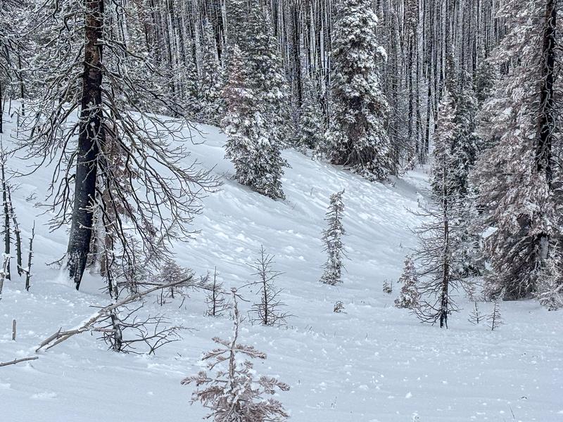
A small wind-slab that failed during strong winds on Saturday on a southeast facing slope around 9,800'.
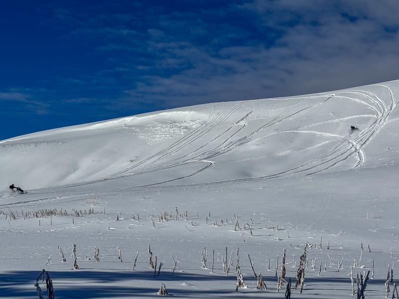
Some slopes avalanched naturally during the storm like the one above on a north slope at 10,000', breaking 1 foot deep into weak snow at the ground.