Heavy snowfall and strong southerly winds will create dangerous avalanche conditons in the Abajo Mountains. All avalanche terrain should be avoided. This means all slopes steeper than 30 degrees. Avoid avalanche run out zones and terrain traps such as gullies or areas where avalanche debris can pile up.
A deep low pressure system moving in from the Pacific Coast is feeding warm, moist air on a southwest flow into the region. Heavy snowfall is forecasted today and tonight with 1'-2' of snow possible. Southerly winds will blow in the 20-25 mph range with gusts in the 30's along ridge tops. High temps at 10,000' will be in the upper 20's. Snowfall will continue tonight and into tomorrow with another 4"-8" possible. Unsettled weather continues through the week.
Snowpack Summary and General Conditions
Dangerous avalanche conditions exist in the Abajo Mountains.
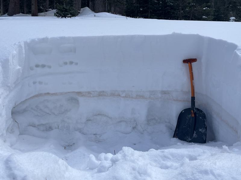
Heavy snowfall will overload a weak, underlying snowpack creatring dangerous avalanche conditons. A poor snowpack structure exists on shady slopes where loose, weak, sugary snow has formed a
persistent weak layer under a
slab of stronger snow. New and wind drifted snow will add more stress to buried weak layers creating dangerous avalanche conditons. Avoid being on or underneath slopes steeper than 30 degrees.
Photo illustrates strong snow with a slab over weak snow. Everything below the brown dust layer is weak, sugary, facted snow.
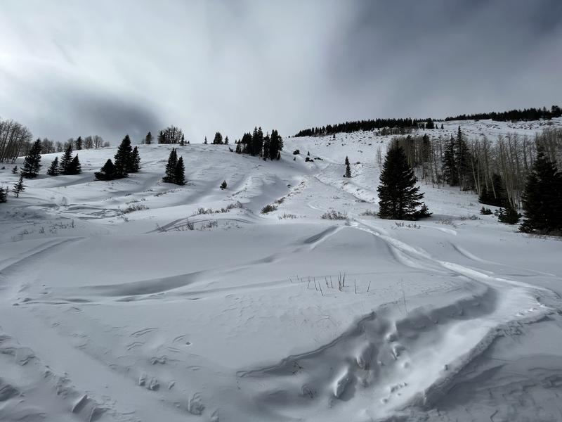
Conditons remain thin with uneven coverage. Note, however, areas with wind drifted snow on the leeward sides of ridge crests and gully walls. Wind drifts are recognizable by their smooth, rounded appearance, and cracking is a sign of instability.
Thin coverage on south and westerly facing slopes.