Forecaster comments: This avalanche was triggered on a ESE aspect at 9100' in elevation and 39 degrees in slope steepness. The avalanche failed on a thin layer of faceted snow above a crust that formed on January 18th when we had a warming trend along with high pressure. A series of storms came across northern Utah on the 20th and lasted until the 26th of January. The mountains along the Park City ridge line received roughly 45" inches of new snow with 3" inches of water over the course of six days. This avalanche was triggered the first sunny day after a storm and the avalanche danger was rated considerable for that aspect and elevation.
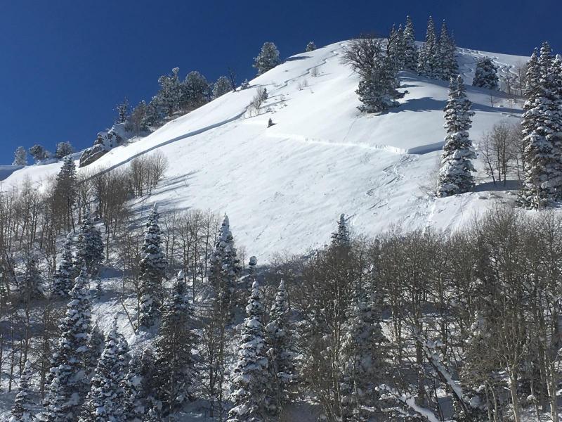
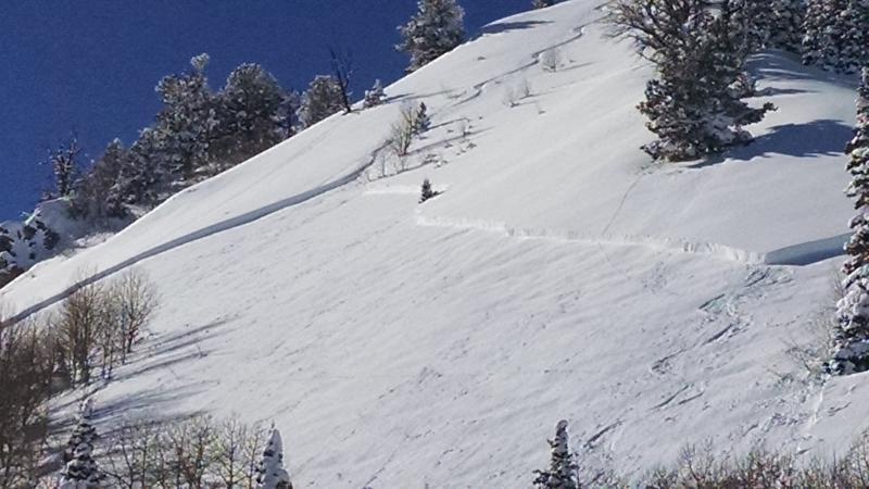
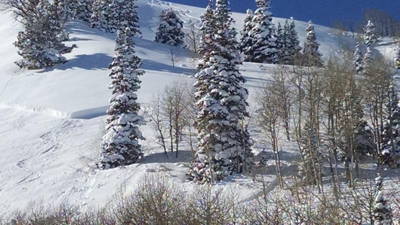
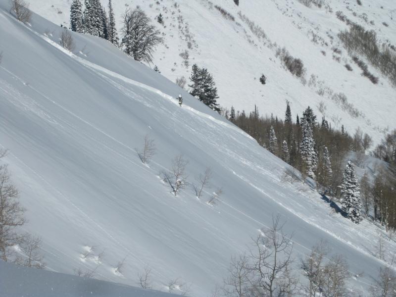
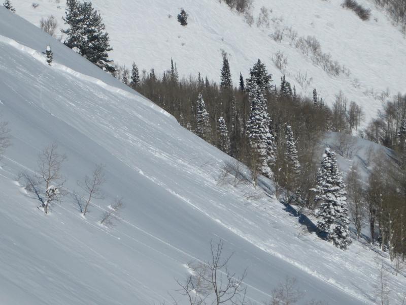
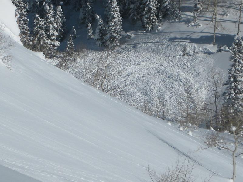
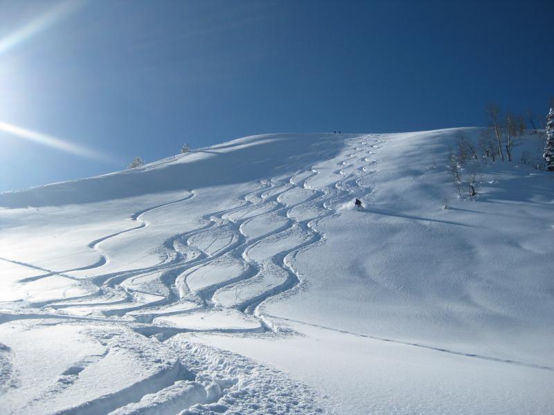
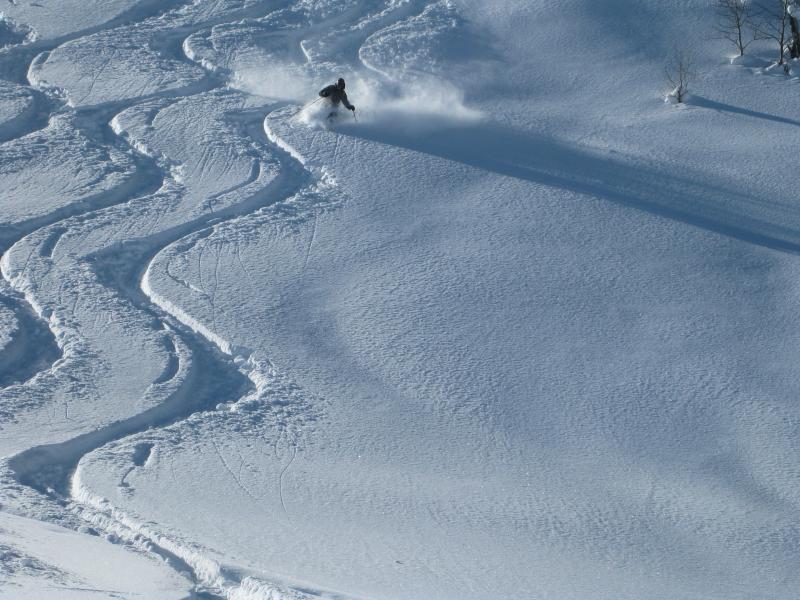
Comments by witness party: Our party of four were doing laps in the Home Run cirque, and on the way home via the Sound Of Music, discovered a fresh and large slide path with obvious crown and large debris pile far below in the aspens. Below the side path a short distance was the party of 3 or 4 who were milling around doing nothing, so we assumed it was them that triggered it and no one was hurt or in need of assistance. This slide was directly off the skiiers right side of the SOM, which typically gets a sun crust between stoms, and is very steep. Photos below are...1.) Slide Crown shots wrapping around the SOM shoulder. 2.) Debris pile 3.) SOM face with the involved groups' tracks on skiers right shoulder. It appears they skid down the shoulder to get to their slide trigger buddy. 4.)Obligatory powder shot in the face of som.
Other photos -