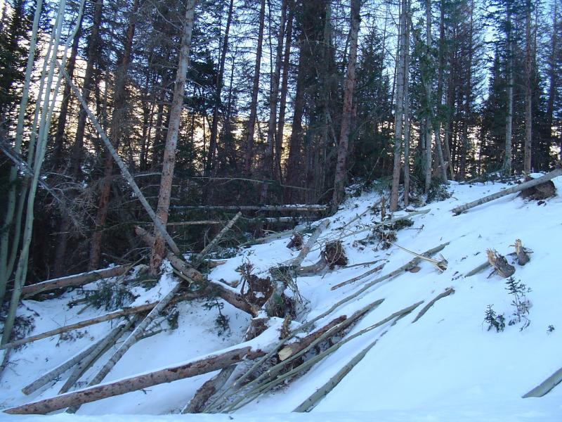
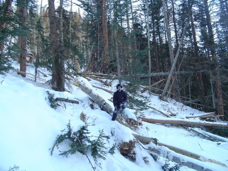
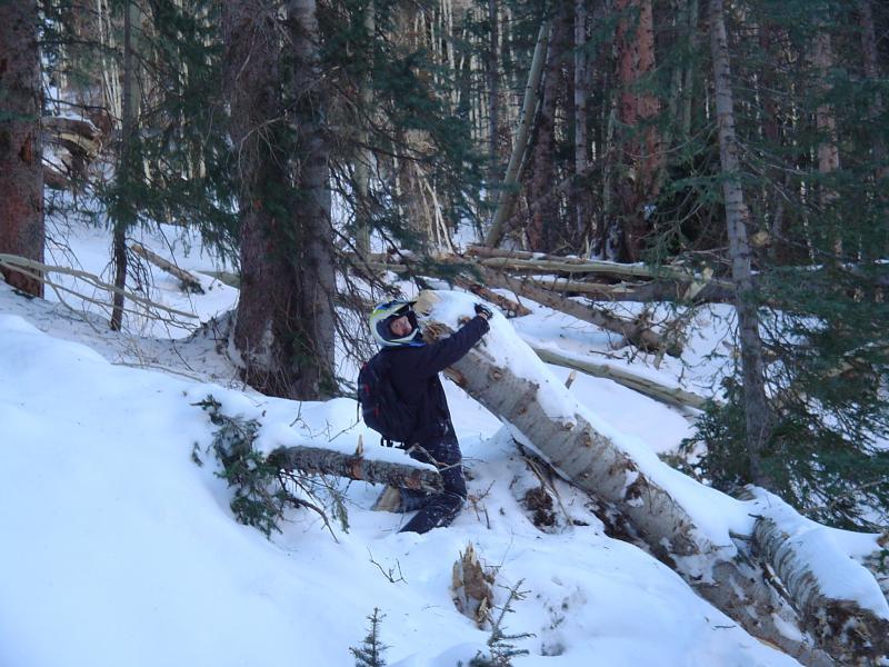
This was one of many "tree snappers" that occurred during a historical avalanche cycle.
The set up is a "text book" scenario for large destructive avalanches. A good amount of early snowfall in October and November then sat around through a dry December. During this dry period, the snowpack became "faceted" where the snow grains turned into loose sugary snow. Snowfall started to accumulate again in late December and into early January. A large storm moved through from around January 6 through the 14th with very strong southwest wind and rising temperatures through the storm. The southwest winds heavily loaded the northerly facing slopes which held very weak faceted snow from December. The rising temperatures contributed by making the new snow "upside down" with higher densities over lower densities. The storm produced somewhere around 4 feet of snow and over 7 inches of water! This is everything you need for large destructive avalanches.