

Observer Name
John Lemnotis
Observation Date
Monday, February 10, 2014
Avalanche Date
Monday, February 10, 2014
Region
Salt Lake » Little Cottonwood Canyon » Grizzly Gulch
Location Name or Route
Grizzly Gulch
Elevation
10,200'
Aspect
Southwest
Slope Angle
Unknown
Trigger
Snowboarder
Trigger: additional info
Unintentionally Triggered
Avalanche Type
Soft Slab
Avalanche Problem
Wind Drifted Snow
Weak Layer
Density Change
Depth
6"
Width
30'
Vertical
40'
Comments
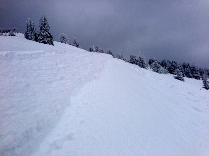
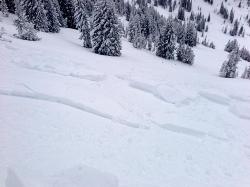
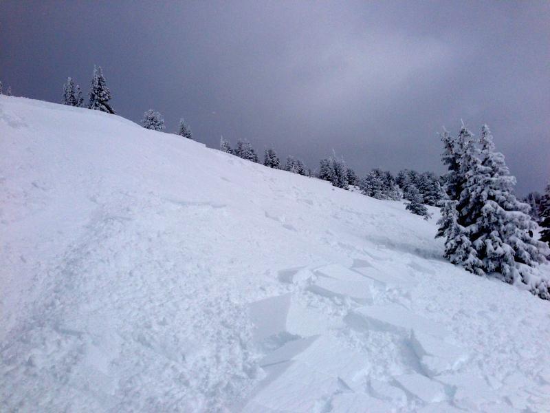
My partner and I went out for a morning tour both having read the avy report and knew the danger was high, we talked before the tour about how important terrain management was and the avoidance of any rollers in the runs we decided to take would be. By our third run we had worked our way across the slope far enough to be coming close to the ridge that separates Freeland and Black Bess. I was watching from some protected trees as my partner descended and made a turn on the side of a cross loaded wind drift. This turn triggered the release and my partner was able to ride off the side. The crown was 4-6" but the blocks in the debris pile were significantly larger (12") due to the wind loading, The slide was about 30' wide and ran 40'. I didn't measure the angle in the start zone but I would estimate it was around 35.
Comments
This was not an unexpected event but we both agreed that there was a break down in our initial plan and we should've been more cautious with our terrain management. When the clouds broke on our way out around 1pm we could see what appeared to be a similar scenario of cross loading and a large natural running below emma ridge. It appeared to run at least 1000'. I'll post a picture in my next observation.
Coordinates