

We triggered at least a dozen audible and sometimes visual collapses or woompfs. These were quite large today, collapsing acres at a time reverberating like rolling thunder. At one point the rolling thunder ended in dull booms that sounded like explosives going off in the distance. We also triggered deep shooting cracks and a woompf on a fairly low angled test slope. The 12-23-2013 rime/rain crust was widespread in the Steep Hollow area and increased transmission of our weight due to the crust may have been a factor in the increased size of the collapses we triggered.
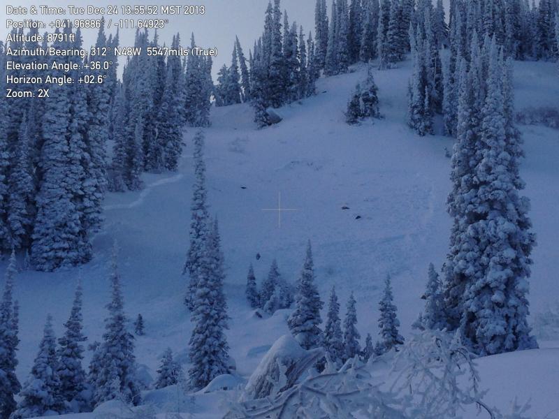
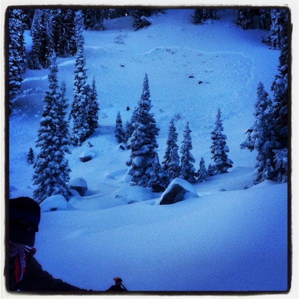
The avalanche pictured is the only natural avalanche we saw in the area, which is somewhat surprising. Many slopes probably still sit in a delicate balance, just needing a trigger to make them run....
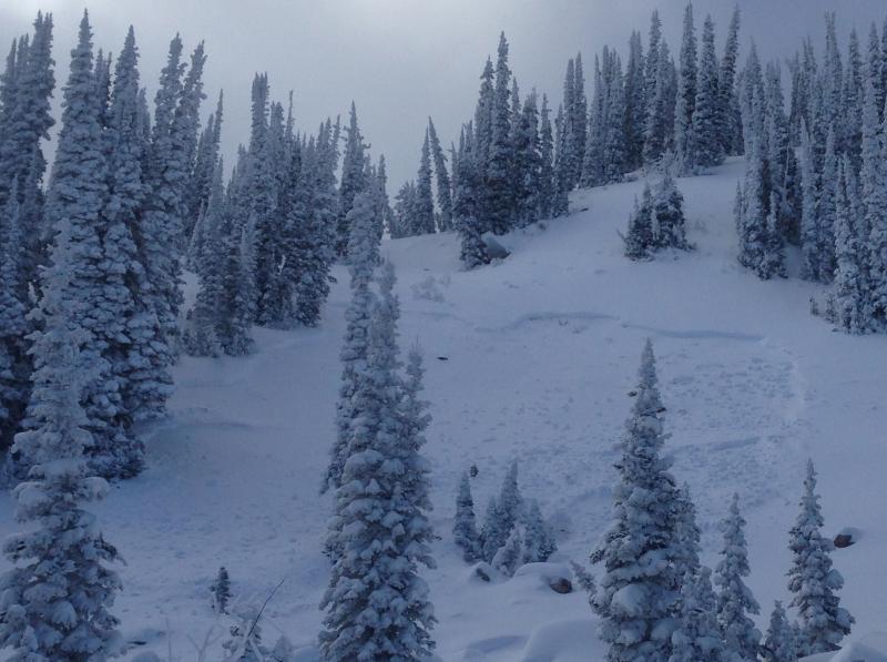
We found the trees in Steep Hollow incased in ice on the windward sides and dry on their leeward.
