

Observer Name
Ted Scroggin
Observation Date
Wednesday, March 7, 2012
Avalanche Date
Sunday, March 4, 2012
Region
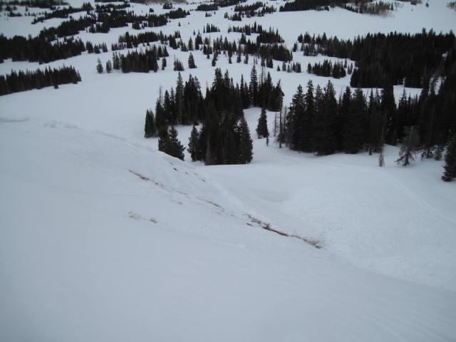
Uintas
Location Name or Route
Yamaha Hill
Elevation
10,000'
Aspect
Northeast
Slope Angle
38°
Trigger
Snowmobiler
Avalanche Type
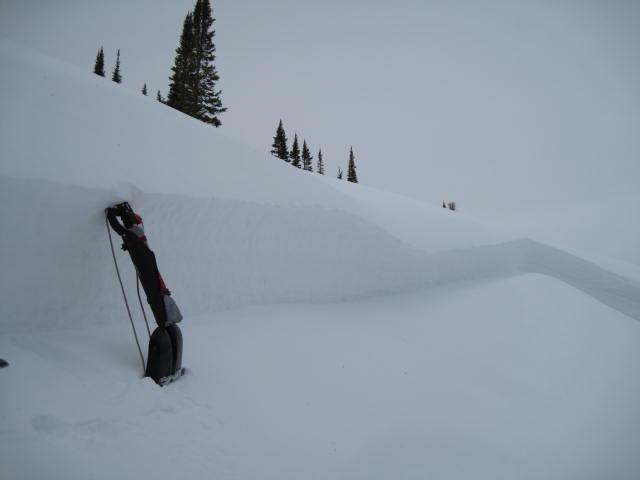
Hard Slab
Weak Layer
Surface Hoar
Depth
2'
Width
125'
Vertical
150'
Comments
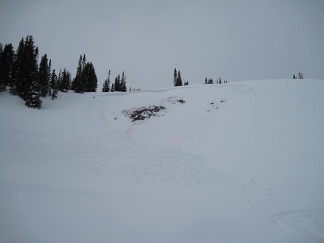
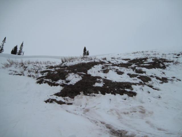
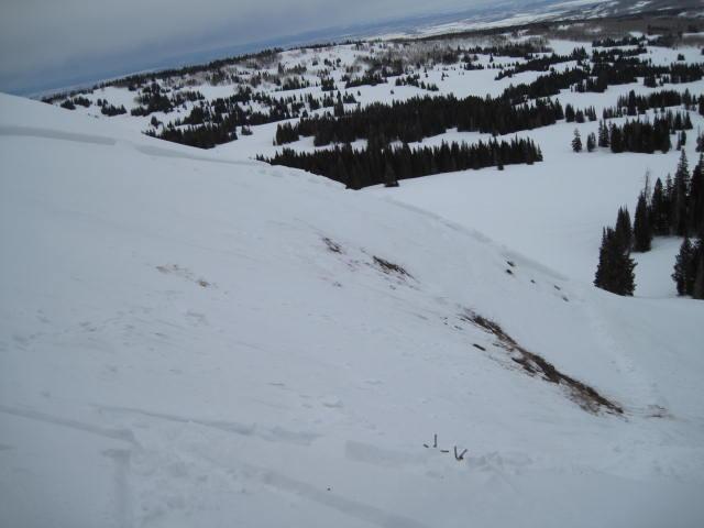
I'm guessing this slide took place over the weekend, likely on Sunday. The slab boundaries are not very big, but the slide did cover a few hundred feet vertical. It looks like it was a remote trigger since the nearest tracks are several feet away. It took a bit of looking before I felt mostly confident that surface hoar was the weak layer. It has similar characteristics of other recent slides in the area where surface hoar was involved.
Comments
It looks like the slide first failed at the surface hoar layer then stepped down to weak depth hoar at the ground.
Coordinates