

Observer Name
Flygares
Observation Date
Friday, April 1, 2011
Avalanche Date
Thursday, March 31, 2011
Region
Logan » Logan River » Tony Grove » North Castle Rock
Location Name or Route
Castle Rock
Elevation
9,500'
Aspect
East
Slope Angle
38°
Trigger
Natural
Trigger: additional info
Cornice Triggered
Avalanche Type
Wet Slab
Depth
2.5'
Width
300'
Vertical
600'
Comments
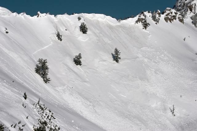
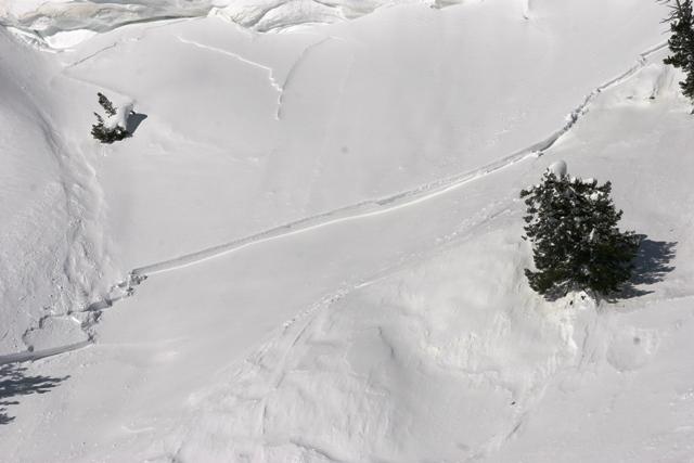
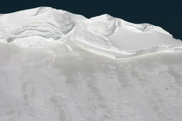
There was another big slide just North of Castle Rock. It looks like it was triggered by a cornice fall but it released a slab approximately 300 feet wide and ran 600 vertical. The slab looked like it failed on the dirty layer from the storm a couple of weeks ago. There were not large chunks of cornice in the debris like on the Cornice Ridge slide. I am guessing the cornice fall was not as large as the Cornice Ridge slide. The alpha angle on this slide was 22 degrees.
Coordinates